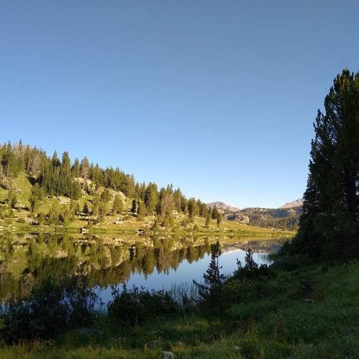
Near Spruce Lake Spur
Spruce Lake Spur that branches off Highline Trail, runs along the southern shoreline of the lower Chain Lake, on its way to Spruce Lake.

Looking for more photos?

View All Photos
Driving Directions
Hike Trail

Spruce Lake Spur

2.0 (1 Rating)
Short spur trail to Spruce Lake from Highline Trail #7094.
0.4
mi
Distance
62
ft
Gain
moderate
Difficulty
FishingLakeWildflowersWildlife
Access Issues
USFS rules, please: - camp at least 200 feet away from lakes, creeks, and trails. - leash dogs in crowded areas - follow Leave No Trace Principles

Route Details

Flatter
Steeper
0.39mi
Distance
62ft
Elevation Gain
111ft
Elevation Loss
15%
Max Grade
9,914ft
High Point
9,802ft
Low Point
Path Type
Point to Point
Description
Spruce Lake Spur is a short spur trail that takes one to Spruce Lake that is about a quarter mile west of the southernmost of the Chain Lakes. The trail to Spruce Lake branches off from Highline Trail #7094 in two places at the southern end of the southernmost Chain Lake - here at Spruce Lake Spur, and a bit north at Spruce Lake Connector. These junctions with Highline Trail #7094 are in open meadows and are unmarked. Watch carefully to make sure you take the path you intend to take. After a very short ways Spruce Lake Spur enters the woods and goes over a small rise. At the 0.2 mile mark Spruce Lake Spur meets Spruce Lake Connector in a muddy area at the southern tip of the Chain Lake. Go straight/left here to continue on Spruce Lake Spur to Spruce Lake. Going right takes one back to Highline Trail #7094 on Spruce Lake Connector. Past this trail junction, Spruce Lake Spur runs through the woods and rock outcrops for another 0.2 miles, to the east end of Spruce Lake, where it ends.

Route Conditions

Report Conditions
No Condition Reports
Report Conditions

Nearby Hike Routes

Continental Divide Trail: Wyoming Section 14

Hike Route

Continental Divide Trail: Wyoming Section 14

Lake
extreme
25.57 mi
+5,375 ft
Summit Lake Loop

Classic Hike Route

Summit Lake Loop

Commonly Backpacked
strenuous
35.59 mi
+6,368 ft
Continental Divide Trail: Knapsack Col Alternate

Hike Route

Continental Divide Trail: Knapsack Col Alternate

Lake
extreme
13.45 mi
+2,836 ft
Titcomb Basin via Island Lake

Hike Route

Titcomb Basin via Island Lake

Commonly Backpacked
extreme
28.66 mi
+4,155 ft
Bonney Pass via Titcomb Basin

Hike Route

Bonney Pass via Titcomb Basin

Lake
extreme
19.58 mi
+4,994 ft
Photographers Point

Hike Route

Photographers Point

Family Friendly
moderate
9.33 mi
+1,034 ft
Contributors
Joan Pendleton
