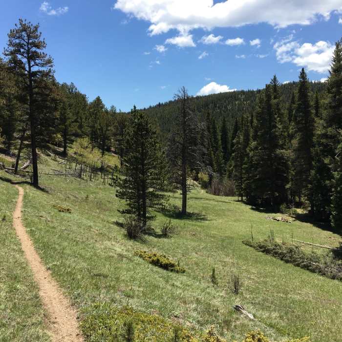
Near Fourmile Creek Trail
This is a good representation of the general feel of the Fourmile Creek Trail.

Looking for more photos?

View All Photos
View Map
Driving Directions
Hike Trail

Fourmile Creek Trail

2.0 (2 Ratings)
A pleasant trail that follows along Fourmile Creek.
2.4
mi
Distance
96
ft
Gain
moderate
Difficulty
BirdingFall ColorsRiver/CreekSpringViewsWildflowersWildlife

Route Details

Flatter
Steeper
2.39mi
Distance
96ft
Elevation Gain
1,175ft
Elevation Loss
25%
Max Grade
8,982ft
High Point
7,891ft
Low Point
Path Type
Point to Point
Description
The trail starts off at a steep drainage, where the trail is not very defined. This section is short, but may require minimal scrambling and is significantly more difficult to navigate in the snow. Once at the bottom of the drainage, the trail is clear and defined. Sections of the second half of the trail are less defined. If you are having difficulty finding the trail, just stay along the creek and you'll be fine.

Route Conditions

Report Conditions
No Condition Reports
Report Conditions

Nearby Hike Routes

Fourmile Creek - Gold Hill Connection

Hike Route

Fourmile Creek - Gold Hill Connection

Birding
moderate
4.91 mi
+913 ft
Lake Isabelle Trail

Hike Route

Lake Isabelle Trail

Lake
moderate
10.23 mi
+939 ft
Brainard Gateway Figure-8

Hike Route

Brainard Gateway Figure-8

Lake
moderate
9.76 mi
+1,406 ft
Rainbow Lakes

Hike Route

Rainbow Lakes

Commonly Backpacked
moderate
2.7 mi
+376 ft
South Arapaho Peak

Hike Route

South Arapaho Peak

Views
strenuous
6.57 mi
+3,549 ft
Brainard Lake Snowshoe Trail

Hike Route

Brainard Lake Snowshoe Trail

Lake
moderate
4.65 mi
+451 ft
Contributors
Eric Lee
