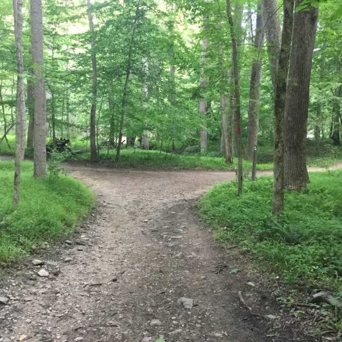
Near Switchback Trail
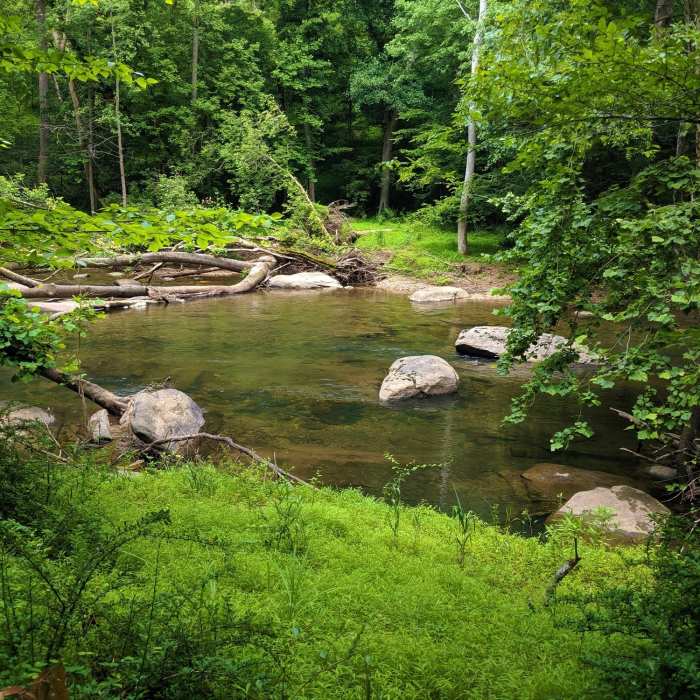
View of the north fork of the Patasco from the Mckeldin View trail.
Near Switchback Trail
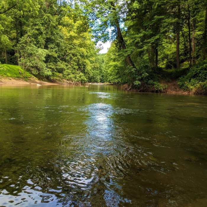
View across the water where the north (right) and south (center) forks of the Patapsco meet.
Near Switchback Trail
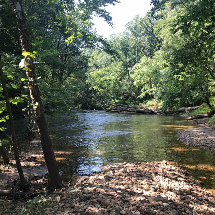
Calmer section of the river along the McKeldin Rapids Trail.
Near Switchback Trail
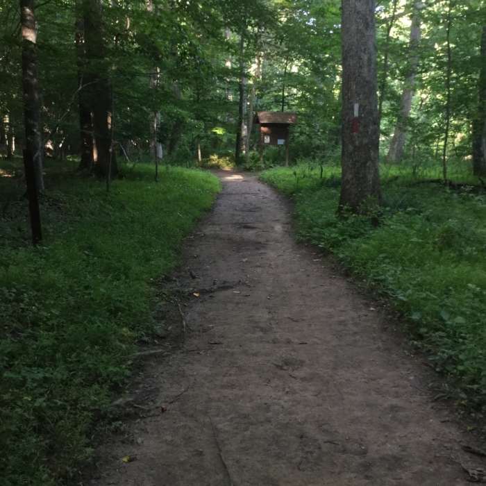
The Plantation Trail (red) and Switchback Trail (white) parallel the river.
Near Switchback Trail
The Switchback Trail (white) enters from the right.

Looking for more photos?

View All Photos
View Map
Driving Directions
Hike Trail

Switchback Trail

3.9 (7 Ratings)
Circle the majority of the park on this pleasant trail.
3.9
mi
Distance
322
ft
Gain
moderate
Difficulty
River/CreekWildlife

Route Details

Flatter
Steeper
3.87mi
Distance
322ft
Elevation Gain
329ft
Elevation Loss
35%
Max Grade
467ft
High Point
260ft
Low Point
Path Type
Point to Point
Description
This is a nice, easy trail that goes down to river where fishing is allowed. There are three bathrooms along the route. You can make it a loop by working your way across the parking lot to opposite side.

Route Conditions

Report Conditions
No Condition Reports
Report Conditions

Nearby Hike Routes

Morgan Run Loop

Hike Route

Morgan Run Loop

Birding
moderate
8.09 mi
+1,127 ft
Coot Peninsula Out and Back

Hike Route

Coot Peninsula Out and Back

Birding
moderate
6.52 mi
+605 ft
Soapstone-Santee-Ridge Loop

Hike Route

Soapstone-Santee-Ridge Loop

Birding
moderate
8.4 mi
+1,221 ft
Patapsco Perimeter

Hike Route

Patapsco Perimeter

Birding
strenuous
16.17 mi
+1,709 ft
Soapstone, Santee Branch, Bull Run Loop

Hike Route

Soapstone, Santee Branch, Bull Run Loop

River/Creek
moderate
3.1 mi
+470 ft
Morning Choice Loop

Hike Route

Morning Choice Loop

River/Creek
moderate
3.78 mi
+395 ft
Contributors
J Lewis
