Near Big Timber Creek Trail #119
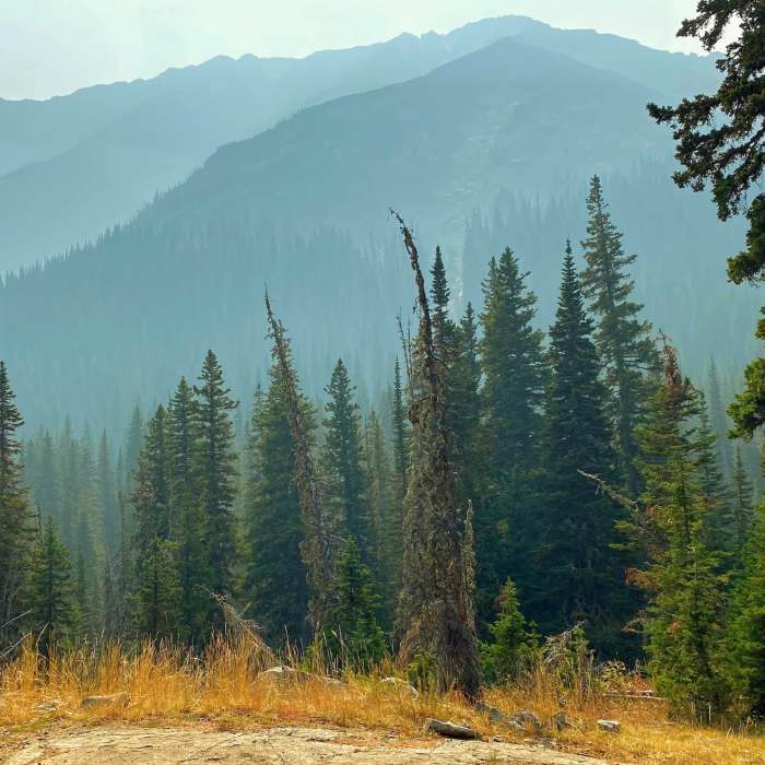
Layers of mountains in the smoke.
Near Big Timber Creek Trail #119
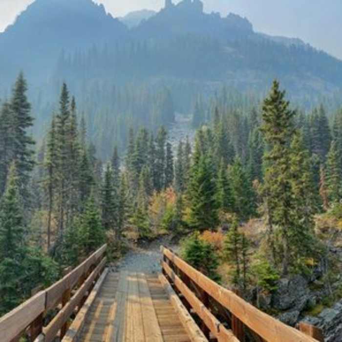
Mountains rising above the creek on a smoky day.
Near Big Timber Creek Trail #119
The Big Timber Falls.
Near Big Timber Creek Trail #119
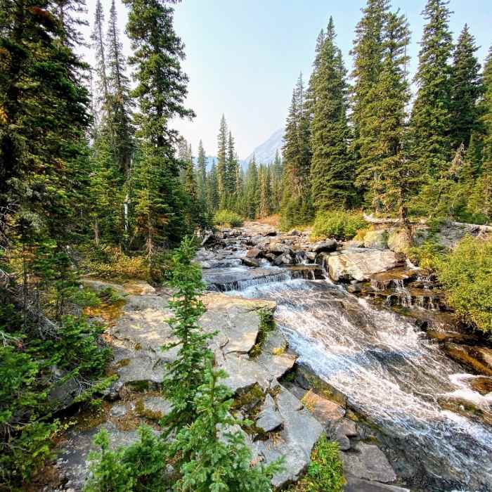
Fast waters pushing down the Big Timber Creek.

Looking for more photos?

View All Photos
Driving Directions
Hike Trail

Big Timber Creek Trail #119

4.7 (3 Ratings)
A magnificent valley trail surrounded by 3,000' cliffs.
5.5
mi
Distance
1,369
ft
Gain
moderate
Difficulty
BirdingRiver/CreekViewsWaterfall

Route Details

Flatter
Steeper
5.47mi
Distance
1,369ft
Elevation Gain
1,369ft
Elevation Loss
25%
Max Grade
7,756ft
High Point
6,464ft
Low Point
Path Type
There and Back
Description
From the parking lot you enter the Big Timber Creek valley. The trail heads up mostly at railroad grade. Your first landmark along the way is the turn-off for Big Timber Falls Trail #330 at about a third of a mile. Keep winding your way up the trail and about a mile in you cross the creek on a solid bridge. The walls of the valley have started to squeeze in at this point. Cross the creek again at a nice, open area at two miles. A powerful climb leads to some flatter hiking where the trail ends at the intersection of the Sweet Grass Trail and Blue Lake Trail #118 .

Route Conditions

Report Conditions
No Condition Reports
Report Conditions

Nearby Hike Routes

Glacier Lake and Conical Peak

Hike Route

Glacier Lake and Conical Peak

Lake
extreme
16.85 mi
+5,613 ft
Granite Lake

Hike Route

Granite Lake

Lake
strenuous
8.49 mi
+2,372 ft
Big Timber to Blue and Granite Lakes

Hike Route

Big Timber to Blue and Granite Lakes

Birding
moderate
7.83 mi
+2,265 ft
Swamp Lake

Hike Route

Swamp Lake

Lake
strenuous
5.87 mi
+2,952 ft
Trespass-Sweetgrass-Cottonwood Loop

Hike Route

Trespass-Sweetgrass-Cottonwood Loop

Birding
strenuous
23.58 mi
+7,362 ft
Crazy Mountains Loop

Hike Route

Crazy Mountains Loop

Lake
extreme
24.49 mi
+6,502 ft
Contributors
Russell Hobart
