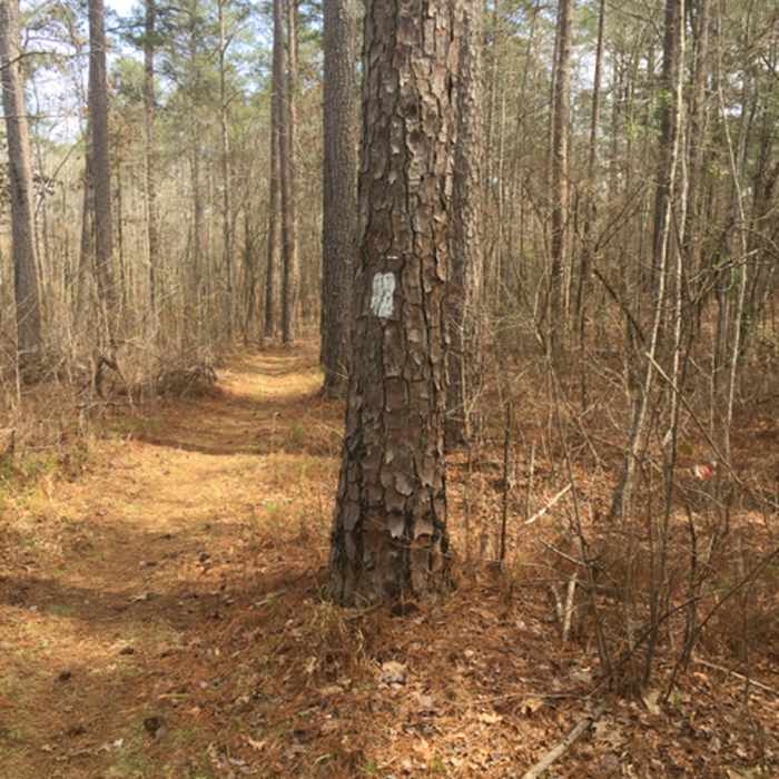
Near Wine Creek #280
The trail has clear blazing and generally offers wide singletrack.

Looking for more photos?

View All Photos
View Map
Driving Directions
Hike Trail

Wine Creek #280

3.0 (2 Ratings)
A nice trail with little elevation change but a few technical segments.
4.5
mi
Distance
112
ft
Gain
moderate
Difficulty
River/Creek
Access Issues
March 9-16, 2018. This trail is closed for controlled fires.

Route Details

Flatter
Steeper
4.47mi
Distance
112ft
Elevation Gain
184ft
Elevation Loss
15%
Max Grade
340ft
High Point
232ft
Low Point
Path Type
Point to Point
Description
A classic trail that provides nice singletrack along the river and through the forests. While the nearby Forks Area Trail System is set up as a series of loops, this trail is an out-and-back with about five miles each way. It ends directly at the trailhead to Turkey Creek #280, so one can easily combine these two trails for a 24-mile hike. The forest service actually refers to these two trails as one long Wine-!Turkey Creek Trail. The trail is well-marked, maintained, and flatter than other nearby trails, which is good for all users. There are a number of exposed roots and rocks, but in general, this is a classic forest singletrack.

Route Conditions

Report Conditions
No Condition Reports
Report Conditions

Nearby Hike Routes

Lake Springs Loop Lollipop

Hike Route

Lake Springs Loop Lollipop

Dogs Allowed
easy
10.45 mi
+180 ft
Peachtree Figure-Eight Hike

Hike Route

Peachtree Figure-Eight Hike

Family Friendly
moderate
2.5 mi
+216 ft
Firebreak Trail

Hike Route

Firebreak Trail

Wildlife
easy
4.16 mi
+205 ft
Harbison Long Loop

Hike Route

Harbison Long Loop

Birding
moderate
7.81 mi
+460 ft
The Big Lefty

Hike Route

The Big Lefty

Birding
moderate
4.42 mi
+139 ft
Sandy Creek Out and Back

Hike Route

Sandy Creek Out and Back

Fall Colors
moderate
22.14 mi
+621 ft
Contributors
Christopher Rorden
