
Near Tommy Thompson Parkway
The Tommy Thompson Parkway.
Near Tommy Thompson Parkway
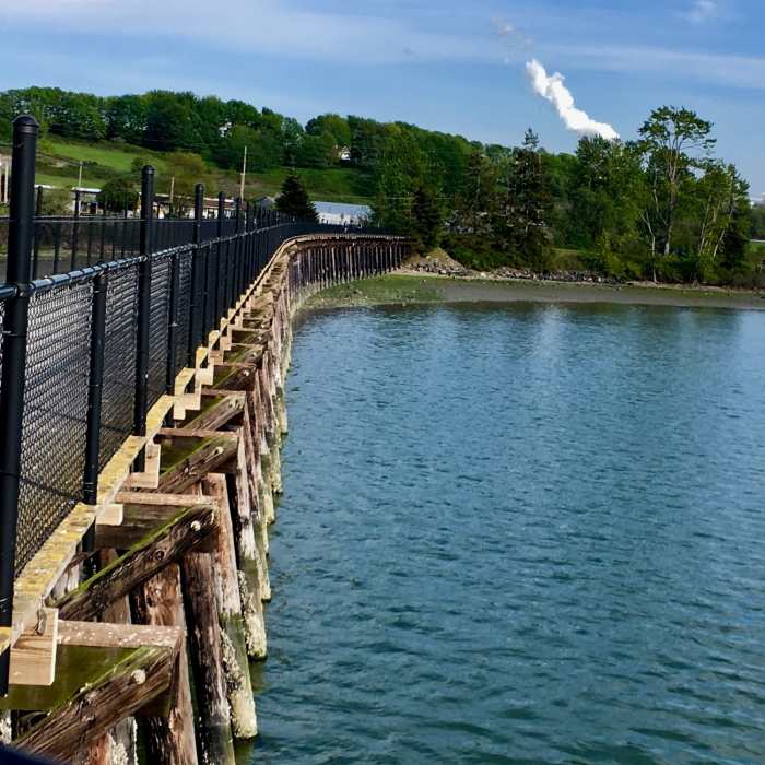
The boardwalk as it curves.
Near Tommy Thompson Parkway
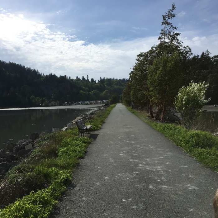
Looking back towards Anacortes.
Near Tommy Thompson Parkway
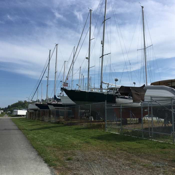
Sailboats alongside the trail.
Near Tommy Thompson Parkway
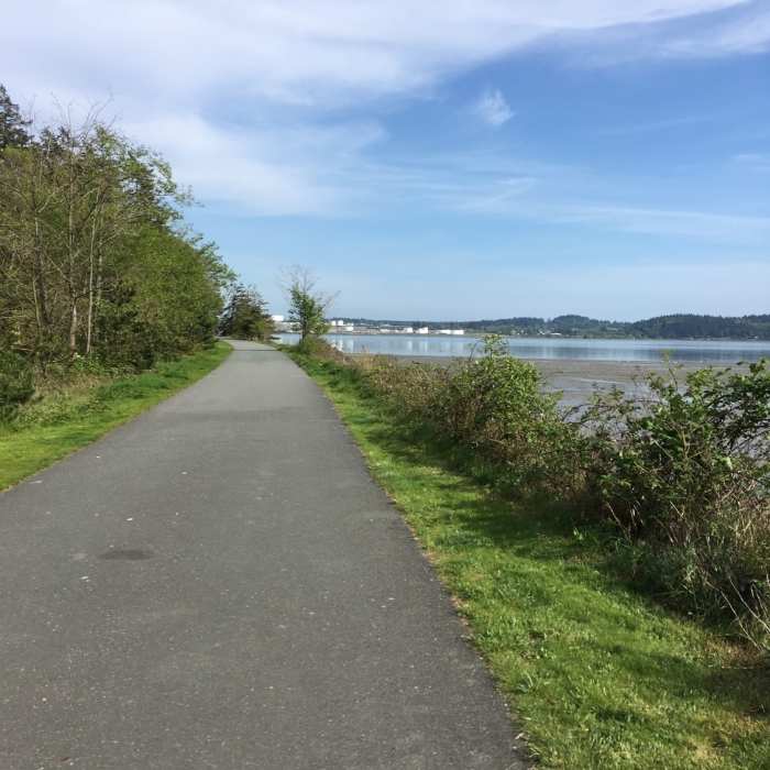
The trail heading out to March's Point.

Looking for more photos?

View All Photos
View Map
Driving Directions
Hike Trail

Tommy Thompson Parkway

4.0 (2 Ratings)
This is a paved trail that runs from Anacortes across Fidalgo Bay on to March's Point.
3.3
mi
Distance
24
ft
Gain
easy
Difficulty
BirdingFall ColorsFamily FriendlyViewsWildlife
Access Issues
Stay on trail--most beaches are private in this area.

Route Details

Flatter
Steeper
3.35mi
Distance
24ft
Elevation Gain
14ft
Elevation Loss
10%
Max Grade
31ft
High Point
4ft
Low Point
Path Type
Point to Point
Description
This trail starts at the corner of Q Ave and 9th Street. The trail is pretty straightforward, just follow the extra wide paved path. The trail has several restrooms along the route, as well as trash cans. There is no parking at the end of the trail. The trail is a ribbon of public land, so don't get off of it. The trail crosses right over the Fidalgo Aquatic Reserve, and is built on an old railroad track.

Route Conditions

Report Conditions
Anonymous Adventurer
All Clear
Looking for more condition reports?
View History

Nearby Hike Routes

Pacific Northwest National Scenic Trail Section 12

Hike Route

Pacific Northwest National Scenic Trail Section 12

Less Crowded
extreme
51.37 mi
+3,801 ft
Whistle Lake Loop

Hike Route

Whistle Lake Loop

Birding
moderate
3.57 mi
+421 ft
Mount Erie Summit

Hike Route

Mount Erie Summit

Birding
strenuous
3.65 mi
+1,209 ft
Padilla Bay Shore Trail

Hike Route

Padilla Bay Shore Trail

Birding
easy
2.17 mi
+14 ft
5 Wonders Trail

Hike Route

5 Wonders Trail

Birding
moderate
3.99 mi
+987 ft
Rosario to the Points and Back

Hike Route

Rosario to the Points and Back

Birding
moderate
4.23 mi
+792 ft
Contributors
Isaac Bozeman
