Ready to explore this trail?
View Trail Map in AppPath Type
Point to Point
I learned about this trail from the book "Hiking Oregon's Eagle Cap Wilderness" written by Fred Barstad. The 2nd edition was released in 2002 and at that time the easiest way to access 1944 was to start from the Buck Creek Trailhead and hike the Elk Creek Trail 1944A (alternative) then onto 1944. The driving directions listed and map here shows starting from that same TH but makes no reference to 1944A so apparently trail numbers have changed a bit over time.
I did about 3.75 miles to the junction with the China Ridge Trail 1906, and then up 1906. Therefore my experience and photos are limited the western portion of the 1944 trail. As you can see in the trail profile only a few sections are a steep grade, and I found it a pleasant journey overall.
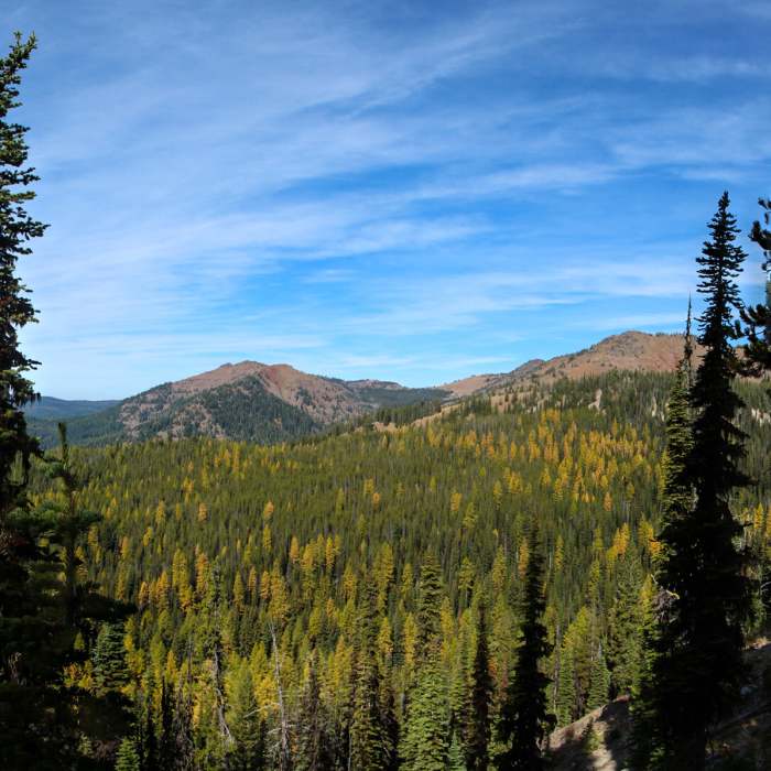
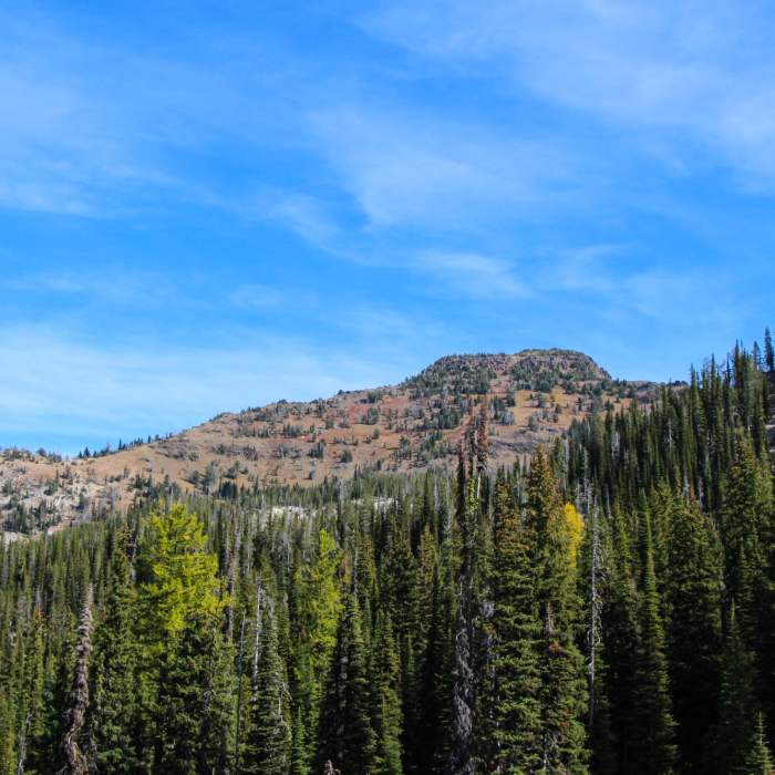
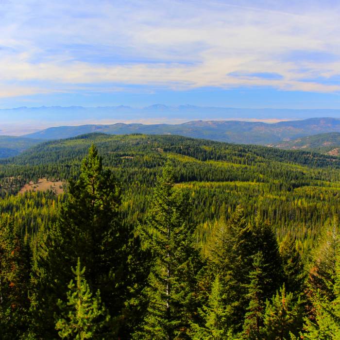
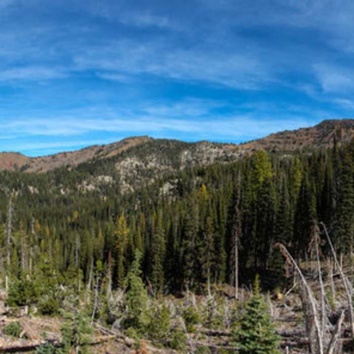
There are views of the Elkhorns to the west, and from farther up the trail views of Burger Butte and China Cap. I suppose that even more spectacular sweeping views are available if you hike higher. We headed up China Ridge 1906 but unfortunately my hiking buddy became ill before we reached the ridge top, so we turned back. I suspect he had a bit of altitude sickness.
I certainly did enjoy the absence of people on this hike. It was October 9, 2014 so fall colors were beautiful, bugs were gone, and weather comfortable.
Some Issues
significant snow about a half mile to a mile in; sporadic patches at first turning to deep snow around 6.5k elevation. after dogleg turn in trail at about that elevation I opted to b-line for burger butte summit proper taking the ridgeline. last few hundred feet are a bit steep and slightly technical but pretty doable even with snow.
Looking for more condition reports?
North Catherine Creek Trail + Cartwheel Ridge Loop
North Catherine Creek Trail + Cartwheel Ridge Loop
Contributors

