Near Crater Vent Trail
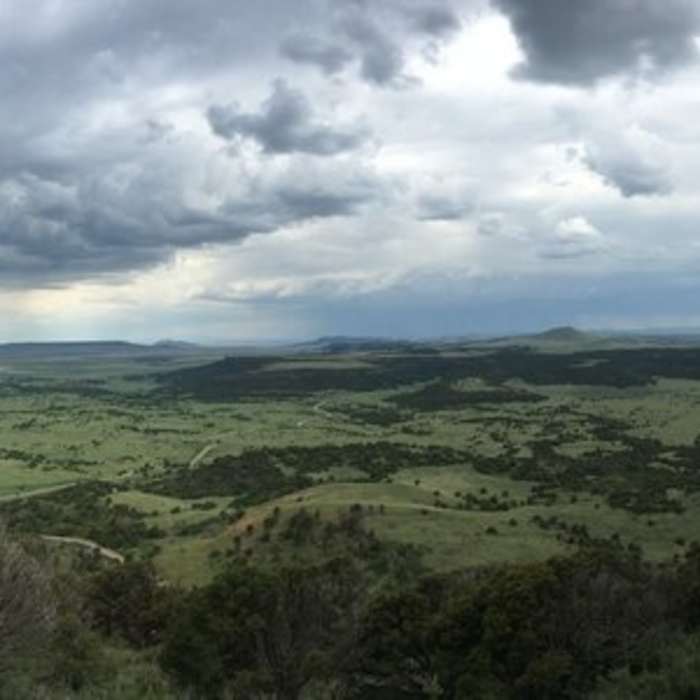
A panorama of the gorgeous area that surrounds the volcano.
Near Crater Vent Trail
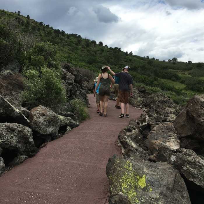
The trail heading up to the crest.
Near Crater Vent Trail
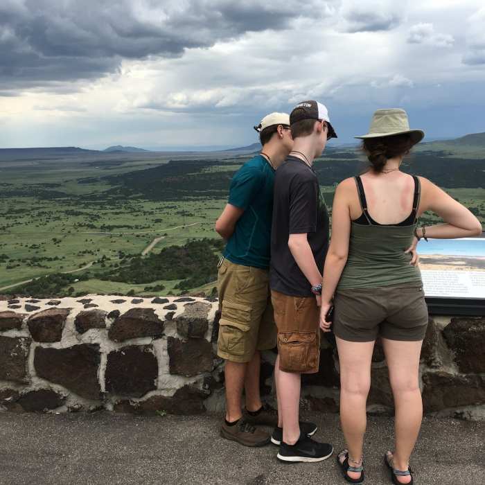
The view from the top is astounding.
Near Crater Vent Trail
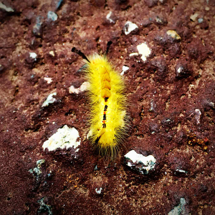
A caterpillar on the volcanic rock.
Near Crater Vent Trail
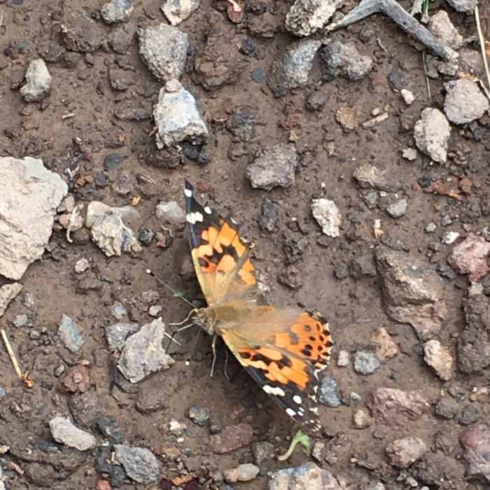
A butterfly preparing for takeoff.

Looking for more photos?

View All Photos
Driving Directions
Hike Trail

Crater Vent Trail

3.3 (3 Ratings)
This is an awesome trail to the heart of Capulin.
0.1
mi
Distance
1
ft
Gain
moderate
Difficulty
BirdingFamily FriendlyWildflowersWildlife
Access Issues
Standard NPS regulations apply.

Route Details

Flatter
Steeper
0.13mi
Distance
1ft
Elevation Gain
95ft
Elevation Loss
10%
Max Grade
7,881ft
High Point
7,785ft
Low Point
Path Type
Point to Point
Description
This trail is pretty straightforward--follow the trail that starts in the parking lot down to the base. Then throw your gears in reverse to return home--it's that easy.

Route Conditions

Report Conditions
No Condition Reports
Report Conditions

Nearby Hike Routes

Fishers Peak Parking Lot to Summit - Out and Back

Hike Route

Fishers Peak Parking Lot to Summit - Out and Back

Wildflowers
strenuous
14.01 mi
+3,281 ft
Black Mesa Nature Preserve

Hike Route

Black Mesa Nature Preserve

Views
moderate
4.25 mi
+691 ft
East Spanish Peak Ascent

Hike Route

East Spanish Peak Ascent

Fall Colors
strenuous
8.93 mi
+3,393 ft
West Spanish Peak Trail to Summit

Hike Route

West Spanish Peak Trail to Summit

Geologically Significant
strenuous
3.43 mi
+2,426 ft
Vogel Canyon Loop

Hike Route

Vogel Canyon Loop

Birding
easy
3.28 mi
+197 ft
Culebra Peak

Hike Route

Culebra Peak

Fall Colors
strenuous
12.59 mi
+5,097 ft
Contributors
Isaac Bozeman
