Ready to explore this trail?
View Trail Map in AppEcho Canyon Recreation Area is open every day from sunrise to sunset.
Path Type
Point to Point
Perhaps the most famous trail in all of Phoenix, and the first that everyone thinks to do when going for a hike, the Echo Canyon Summit Trail is a mainstay in Phoenix hiking culture. While its fame has only grown in recent years, when you boil it down, the trail is really not that great. Massive erosion and hellaciously steep climbing coupled with the extreme heat and sun for which Phoenix is known leads to numerous helicopter rescues of unprepared hikers every year. Add that to a ridiculous amount of traffic on trail, no available parking at the trailhead, and fierce ticketing of improperly parked cars by police, and it's almost needless to say that you can have a better time hiking on one of the numerous other trails nearby that offer you comparable views of the city in a much less hostile, Black Friday-esque environment.
One last thing: if your heart is set on climbing Camelback, look at the Cholla Trail before making up your mind. Its gentler grades and safer trail surface provide a much nicer way to the top while still getting your lungs and legs working!
All of the above considered, the trail description for the Echo Canyon Summit Trail is below:
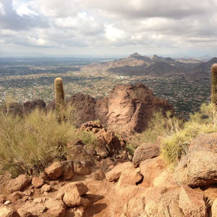
Starting at the Echo Canyon Trailhead Parking Area, follow the trail south as it climbs gently on a smooth tread through a landscape dotted with large boulders. Soon, the trail steepens dramatically as it switchbacks through a new section of trail built to reduce erosion and thereby prolong the lifespan of the Echo Canyon Summit Trail while increasing visitor safety.
After executing the numerous sets of switchbacks, the trail climbs moderately to a viewpoint atop Echo Saddle (elevation 1,690 ft). This is a great turnaround point for anyone feeling strained by this point in the hike. Be warned - it gets much, much harder from this point.
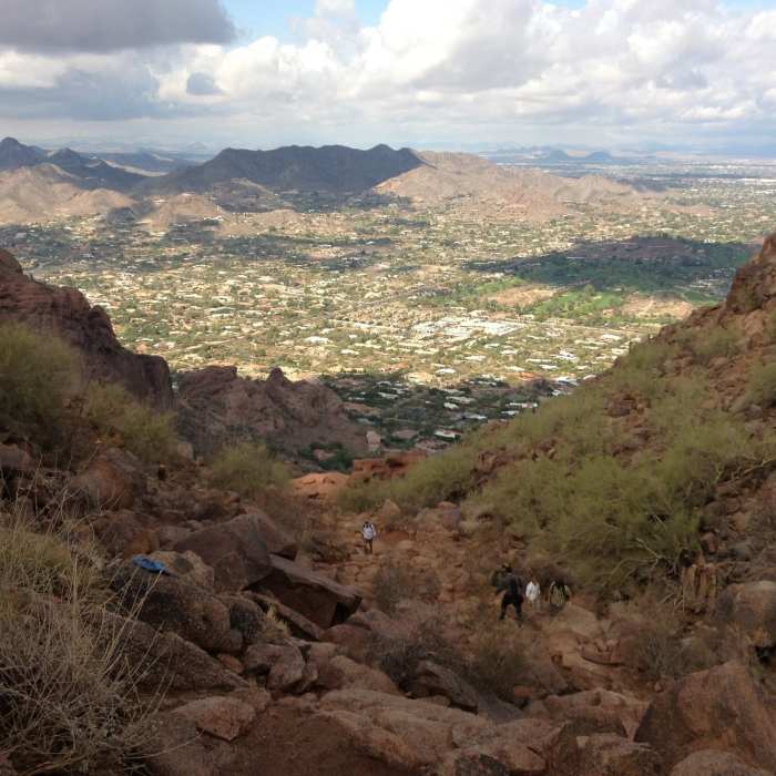
If you're feeling good and like you might have brought too much water (trust me, you won't feel that way in a few minutes), continue up the trail, climbing strenuously through sections of slickrock terrain aided by handrails before reaching the second saddle. Upon reaching the second saddle, be sure to stop, drink some water, and enjoy the pleasant view of South Mountain while you let your legs rest.
Before you continue up the trail, make sure to stow anything you're holding into your bag so you have free use of your hands. The upcoming section of trail requires hands-and-feet scrambling at times as you navigate the large boulder piles on the way to the summit. Take your time through here, and don't forget to take water breaks.
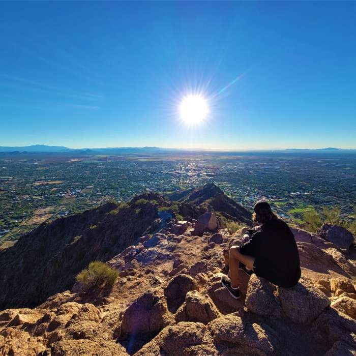
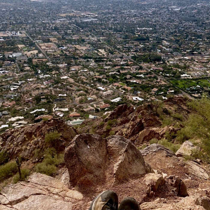
Finally, after surpassing the last rocky stretch, you'll reach the summit and its panoramic views of Phoenix and the entire Valley of the Sun.
No Condition Reports
Contributors

