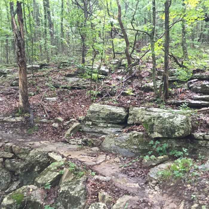
Near Oak Park Trail
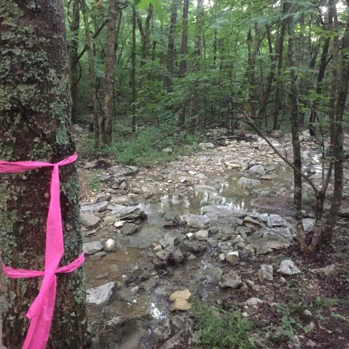
Rocky creek crossing.
Near Oak Park Trail
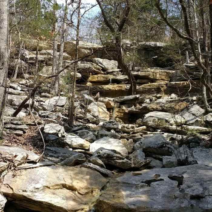
Rock outcroppings.
Near Oak Park Trail
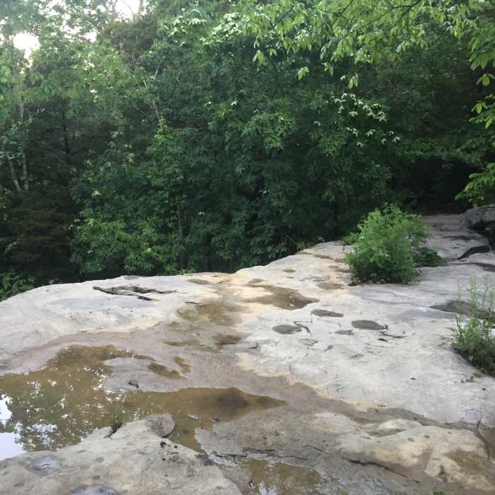
Enjoy this trickling waterfall on Buzzards Roost.
Near Oak Park Trail
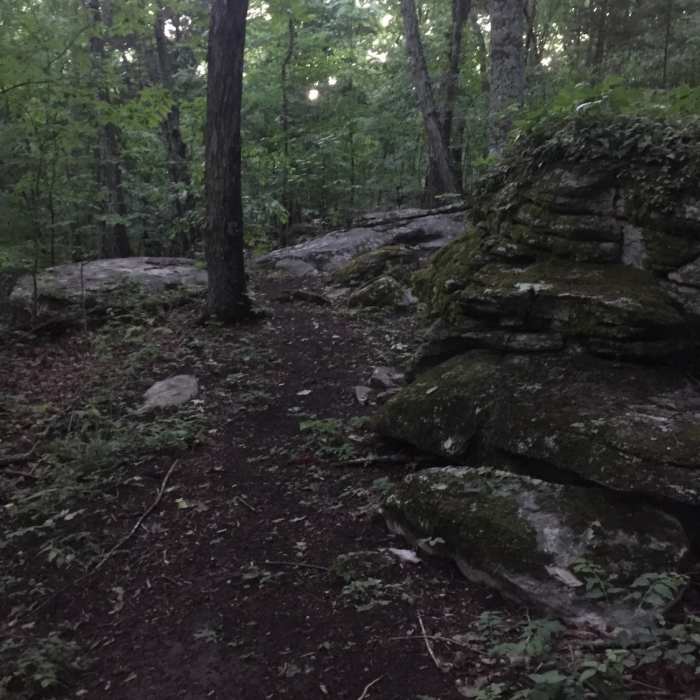
Buzzard's Roost.
Near Oak Park Trail
A well constructed stone section of the Dummy Line Trail over a creek bed.

Looking for more photos?

View All Photos
View Map
Driving Directions
Hike Trail

Oak Park Trail

4.0 (6 Ratings)
A singletrack trail starting at Oak Park on Oakwood Ave. and connecting to Buzzards Roost and the Bankhead Trail.
0.9
mi
Distance
393
ft
Gain
moderate
Difficulty
Fall ColorsRiver/CreekWaterfallWildflowers

Route Details

Flatter
Steeper
0.89mi
Distance
393ft
Elevation Gain
17ft
Elevation Loss
25%
Max Grade
1,089ft
High Point
712ft
Low Point
Path Type
Point to Point
Description
Oak Park Trail is a brand new singletrack trail that starts at Oak Park on Oakwood Avenue. It climbs 400 feet to the Bankhead Trail, formerly a section of the Flat Rock Trail. This is a freshly made trail with new trail markers which helps because there are a few spots at the beginning of the trail that could be confusing without them. There is a steady incline for the entire trail with a few switchbacks throughout. There are more switchbacks towards the end as you get closer to Bankhead Trail. At .6 miles, the trail forks where a triangle of rocks has been laid out; stay right to keep on trail while bearing left takes you to the Buzzards Roost. At .75 mile, the trail meets back up with the Buzzards Roost where again you stay right. From here, the last .15 miles are the steepest you'll encounter. The trail dead-ends into the Bankhead Trail shortly after your steep climb.

Route Conditions

Report Conditions
Anonymous Adventurer
All Clear
Anonymous Adventurer
All Clear
Looking for more condition reports?
View History

Nearby Hike Routes

Old Railroad Bed to Alms House

Hike Route

Old Railroad Bed to Alms House

River/Creek
moderate
1.6 mi
+271 ft
High Trail to Hotel Basin

Hike Route

High Trail to Hotel Basin

Fall Colors
strenuous
4.56 mi
+821 ft
North Plateau Loop

Hike Route

North Plateau Loop

Fall Colors
moderate
1.84 mi
+79 ft
Stone Cuts to Golan Heights Loop

Hike Route

Stone Cuts to Golan Heights Loop

Cave
strenuous
3.66 mi
+482 ft
Devils Racetrack

Hike Route

Devils Racetrack

Birding
moderate
3.32 mi
+269 ft
Blevins Gap

Hike Route

Blevins Gap

Fall Colors
strenuous
10.98 mi
+1,809 ft
Contributors
Luke Brisk
