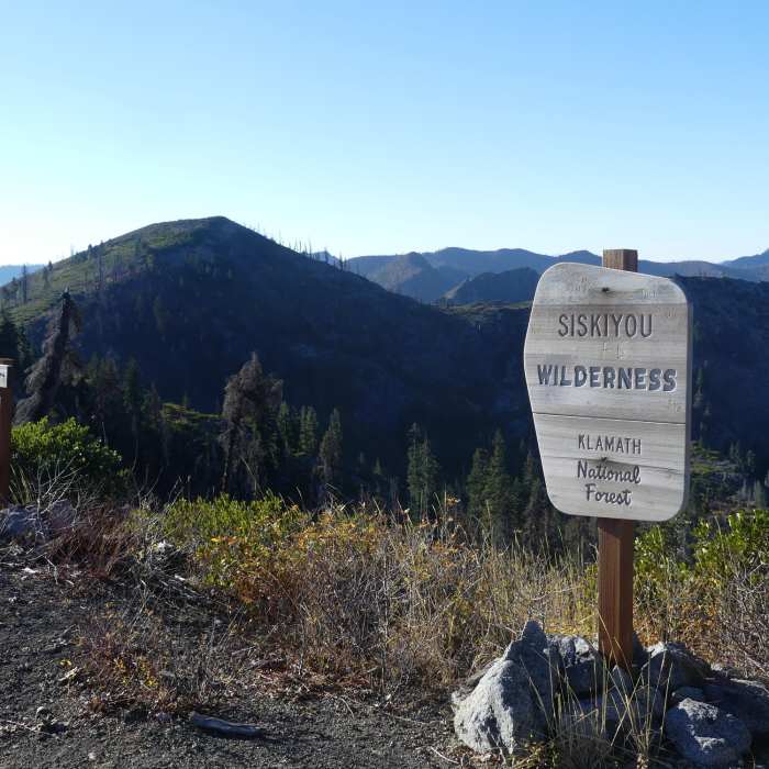
Near Bear Lakes Trail
Top of the trail to Bear Lakes, looking from Bear Peak to Bear Mountain.

Looking for more photos?

View All Photos
Driving Directions
Hike Trail

Bear Lakes Trail

4.0 (1 Rating)
Steep and steeper trail down to Bear Lake.
0.6
mi
Distance
16
ft
Gain
strenuous
Difficulty
Commonly BackpackedLakeViewsWildlife

Route Details

Flatter
Steeper
0.58mi
Distance
16ft
Elevation Gain
720ft
Elevation Loss
40%
Max Grade
5,545ft
High Point
4,839ft
Low Point
Path Type
Point to Point
Description
The South Kelsey Trail skirts the edge of the Siskiyou Wilderness along here and for a few more miles, but take a turn next to the wilderness sign and marked trail and you can plunge right into it. The trail starts off steep and gets steeper in the last quarter mile as it drops 700 feet in 0.7 mile. Lakeside campsites await. A couple dry campsites can be found on the way down for larger sunset views. Take off at the first campsite for a cross country route to the pond above the lake.

Route Conditions

Report Conditions
No Condition Reports
Report Conditions

Nearby Hike Routes

Paradise Trailhead to Cliff Lakes

Hike Route

Paradise Trailhead to Cliff Lakes

Lake
extreme
30.18 mi
+7,381 ft
Seiad Valley to Crook and Green Pass Trailhead

Hike Route

Seiad Valley to Crook and Green Pass Trailhead

Views
extreme
27.79 mi
+7,161 ft
Pacific Crest Trail: California Section R

Hike Route

Pacific Crest Trail: California Section R

extreme
62.11 mi
+13,204 ft
Sky High Lakes Basin

Hike Route

Sky High Lakes Basin

Lake
strenuous
12.25 mi
+2,633 ft
Kelsey Creek to Cold Springs

Hike Route

Kelsey Creek to Cold Springs

Views
extreme
30.95 mi
+7,205 ft
Stout Memorial Grove

Hike Route

Stout Memorial Grove

easy
0.33 mi
+1 ft
Contributors
Valerie Norton
