Ready to explore this trail?
View Trail Map in AppPath Type
Point to Point
Hike up Cement Creek Road. Just after you pass Pioneer Guest Cabins, there's a singletrack trail on the left that takes off from the road. Its more fun than the road and less dusty this time of year. The trail parallels the road for about a mile and keeps the road in sight, so its hard to get lost. Stay left when the singletrack forks, then cross a creek and climb a short one to join a rough dirt road.
This doubletrack is Walrod Gulch. Keep climbing steadily up Walrod Gulch. Pass a singletrack on your left marked Walrod Gulch Cutoff to 409
Keep climbing, staying left at the split in the road, and then top out in a small field. There is a sort of four-way intersection in the road/trail here.
Turn left and keep climbing up a very steep hill called Heart attack hill for obvious reasons. There is a sign here marking the Walrod Gulch Trail #412. At the top is a nice shade tree and a good rest spot. Dont stay long, the climb has just started. Climb steadily up a small creek drainage and cross the creek a couple of times. At a Y intersection turn hard left onto the Walrod Spur Trail #405.2A, and keep climbing. (Right at the Y is an out for Double Top and Waterfall Creek). Keep spinning to the top and enter the edge of a small meadow. Head right and slightly down across the meadow.
Continue contouring for a short distance before you cross a small stream and climb steeply out and up, now in dark timber. When you reach the top you'll arrive at the end of 405.2A. Hike straight ahead, now on Trail #405.
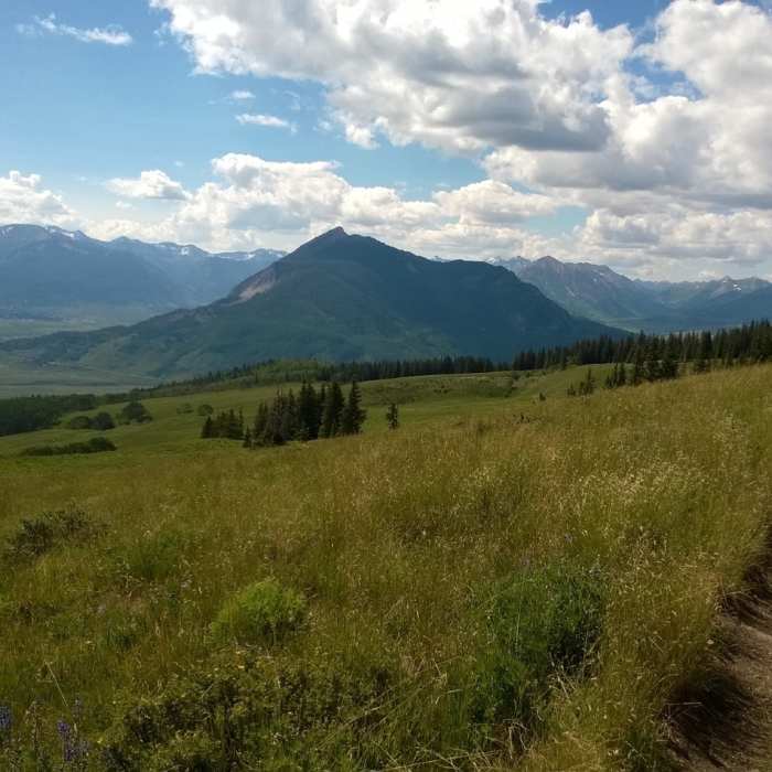
Head through some incredible wildflowers as you sidehill along. A short climb, a rocky little descent and another short climb brings you to another intersection with great views north and west.
Turn hard right onto 409.5A to finish up.
No Condition Reports
Contributors

