Near Government Trail
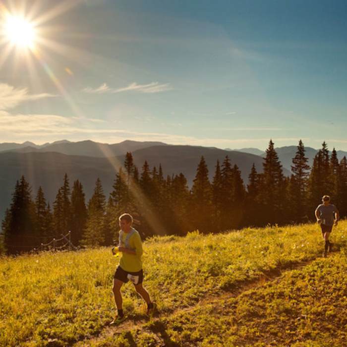
Runners, crushing it along Government Trail.
Near Government Trail
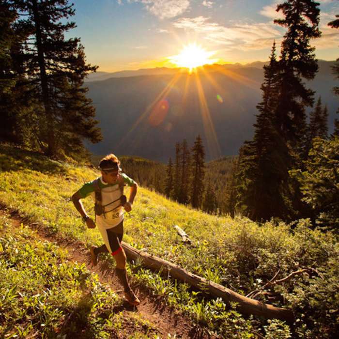
Sunrise in the Rockies!
Near Government Trail
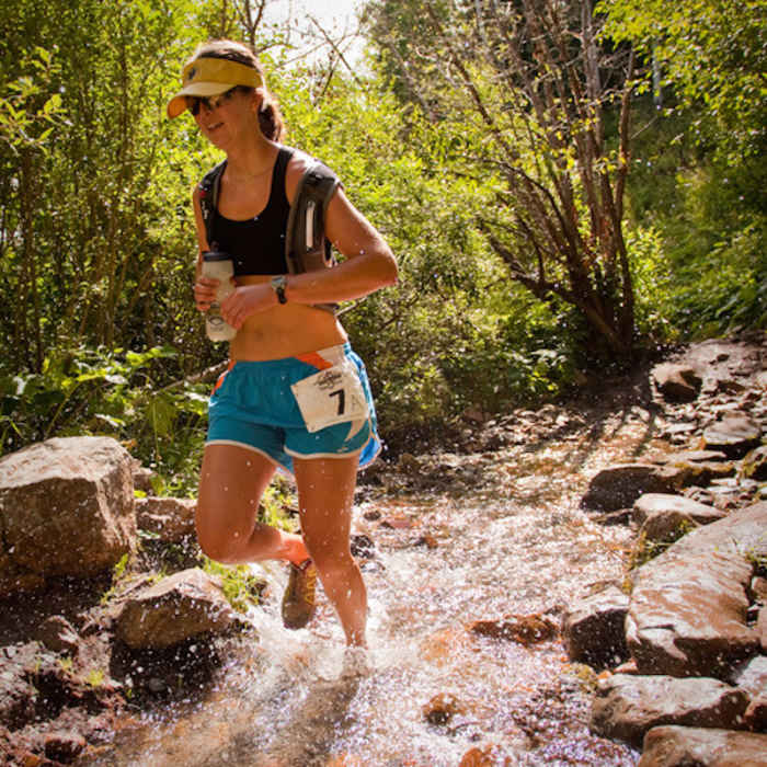
Powering through Owl Creek.
Near Government Trail
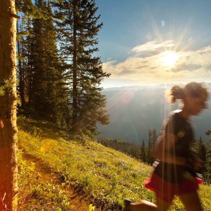
Nearing the final push on Government Trail.
Near Government Trail
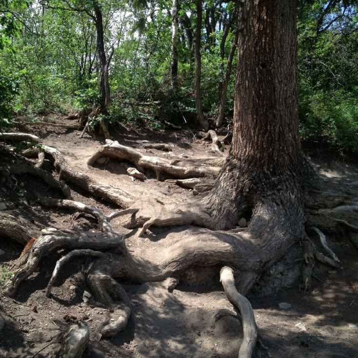
Some nice root step-ups to deal with on Government.

Looking for more photos?

View All Photos
View Map
Driving Directions
Hike Trail

Government Trail

4.7 (9 Ratings)
This classic trail is a must for any serious hiker. Enjoy during fall colors for best experience.
10.1
mi
Distance
2,666
ft
Gain
strenuous
Difficulty
Fall ColorsRiver/CreekViewsWildflowersWildlife
Access Issues
Government Trail is closed for elk calving from May 15 - June 27. Additionally, the trail is outside the Wilderness, but borders private property.

Route Details

Flatter
Steeper
10.08mi
Distance
2,666ft
Elevation Gain
1,664ft
Elevation Loss
30%
Max Grade
9,632ft
High Point
8,055ft
Low Point
Path Type
Point to Point
Description
This trail provides an awesome singletrack experience from the Tiehack side of Buttermilk Ski area near Aspen to western flanks of Snowmass Ski area. This trail is a well-known classic that's often considered in two parts - Government Trail, and West Government Trail. From its inception at Tiehack, the trail crosses Maroon Creek via a pedestrian bridge and turns left onto a residential street. It then leaves the road and begins a steep ascent with switchbacks until reaching Buttermilk Ski area. The trail alternates between aspen groves and ski runs (signs are present to guide you across the runs). Beyond the ski area, the trail climbs slowly through rolling terrain, passing through aspen, lodgepole pine, and flowered meadows where wildlife can often be seen. The trail ends at the Snowmass Ski area. The far western end of the trail connects to Ditch Trail. Starting at this end provides a serious uphill with several incredibly tough switchbacks. If heading down on this portion, prepare for a knee pounder...

Route Conditions

Report Conditions
No Condition Reports
Report Conditions

Nearby Hike Routes

Sunnyside-Radio Tower

Classic Hike Route

Sunnyside-Radio Tower

Fall Colors
strenuous
4.99 mi
+1,573 ft
Ute Trail to Ajax Sundeck

Classic Hike Route

Ute Trail to Ajax Sundeck

Dogs Allowed
strenuous
5.67 mi
+3,179 ft
Rio Grande Trail

Classic Hike Route

Rio Grande Trail

Dogs Allowed
easy
42.01 mi
+288 ft
Hunter Creek Trail

Classic Hike Route

Hunter Creek Trail

Fall Colors
moderate
7.98 mi
+774 ft
Intercept Lot to Rodeo Lot via Sky Mountain Park

Hike Route

Intercept Lot to Rodeo Lot via Sky Mountain Park

Birding
moderate
7.72 mi
+1,608 ft
Conundrum Hot Springs

Hike Route

Conundrum Hot Springs

Birding
strenuous
16.7 mi
+2,691 ft
Contributors
Tom Robson
