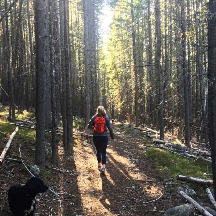
Near Cutler Hill Trail #202
Most of the trail is surrounded by trees like this. There will be some openings that open up and run by the Tongue River

Looking for more photos?

View All Photos
Driving Directions
Hike Trail

Cutler Hill Trail #202

4.0 (1 Rating)
A timber covered hike in the alpines while hiking close to the Tongue River.
4.6
mi
Distance
444
ft
Gain
moderate
Difficulty
Fall ColorsRiver/CreekViewsWildlife

Route Details

Flatter
Steeper
4.57mi
Distance
444ft
Elevation Gain
1,256ft
Elevation Loss
30%
Max Grade
7,888ft
High Point
6,831ft
Low Point
Path Type
Point to Point
Description
From the parking lot, you can either hike the whole trail or use a 4x4/ATV to get closer to the Tongue River. I recommend using an ATV until about 2.4 miles in, where you'll reach a field of downed dead trees. The terrain from the parking lot to about a mile or so in is pretty rocky.

Route Conditions

Report Conditions
No Condition Reports
Report Conditions

Nearby Hike Routes

Black Mountain Lookout

Hike Route

Black Mountain Lookout

Birding
strenuous
3.87 mi
+1,132 ft
Tongue River Point-to-Point

Hike Route

Tongue River Point-to-Point

River/Creek
strenuous
9.03 mi
+509 ft
Red Grade Trail System Loop

Hike Route

Red Grade Trail System Loop

Family Friendly
moderate
1.77 mi
+249 ft
Geneva Lake

Hike Route

Geneva Lake

Birding
moderate
8.61 mi
+885 ft
Elsa/Spear Lake Loop

Hike Route

Elsa/Spear Lake Loop

Commonly Backpacked
strenuous
25.79 mi
+6,318 ft
Florence Pass to Florence Lake

Hike Route

Florence Pass to Florence Lake

Lake
strenuous
17.82 mi
+2,584 ft
Contributors
Anna Zowada
