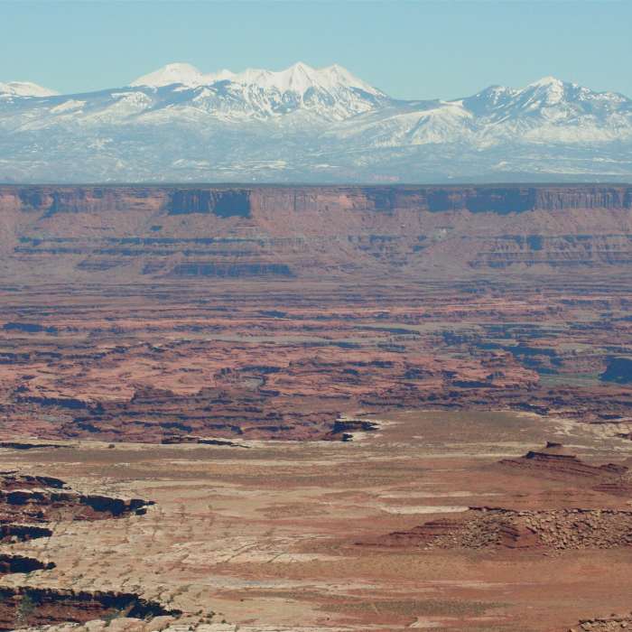
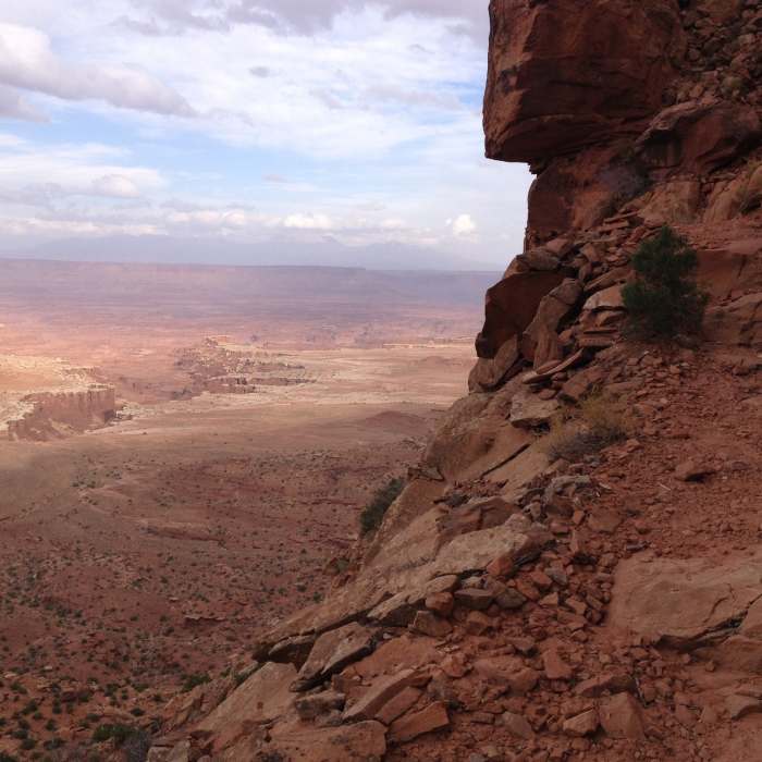
Near Gooseberry Trail
The White Rim from Buck Canyon Overlook
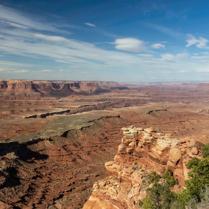
Near Gooseberry Trail
Gooseberry Canyon from the Island in the Sky
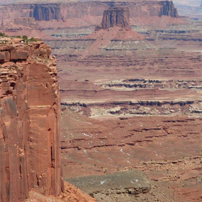
Near Gooseberry Trail
Cliffs of the Wingate Sandstone, Buck Canyon Overlook
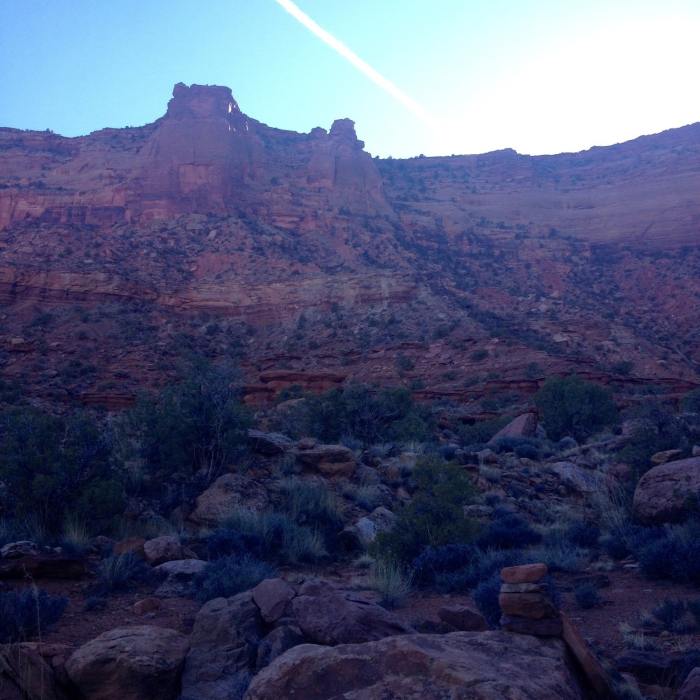
Near Gooseberry Trail
Looking back up at the Gooseberry Trail from the wash.
Near Gooseberry Trail
Looking back at the White Rim during the climb back out.

Looking for more photos?

View All Photos
Driving Directions
Hike Trail

Gooseberry Trail

4.0 (5 Ratings)
A steep slickrock descent that provides access to explore the White Rim Trail in either direction.
1.9
mi
Distance
ft
Gain
strenuous
Difficulty
ViewsWildlife

Route Details

Flatter
Steeper
1.92mi
Distance
0ft
Elevation Gain
1,535ft
Elevation Loss
65%
Max Grade
6,279ft
High Point
4,744ft
Low Point
Path Type
Point to Point
Description
From the parking area head straight out across the slickrock following cairns until you reach a junction. Head left to descend Gooseberry (going right takes you to an overlook). The descent is unrelenting in grade and has a few exposed sections with chopped steps and others with loose rock. Once you reach the wash you'll follow it down the canyon with cairns to reassure you are on track. Make sure you look around at the trail/wash junction to remember what it looks like for the climb back up. A few miles of nice wash hiking leads to the White Rim Trail just north of the Gooseberry campsites (permits required through NPS). There is no water on the trail, but there is a bathroom at the campsites. From here you can either return the way you came or explore the rolling doubletrack of the White Rim Trail in either direction. Going right (south) from the Gooseberry Junction is very scenic and has a tendency to keep pulling you further and further to see what lies around the corner.

Route Conditions

Report Conditions
No Condition Reports
Report Conditions

Nearby Hike Routes

Find more hikes near: Moab, UtahSpanish Valley, Utah
Grand Viewpoint Overlook Trail

Hike Route

Grand Viewpoint Overlook Trail

Family Friendly
moderate
1.77 mi
+123 ft
Murphy Trail

Hike Route

Murphy Trail

Less Crowded
easy
3.36 mi
+198 ft
Mesa Arch

Hike Route

Mesa Arch

Less Crowded
easy
0.66 mi
+69 ft
False Kiva

Hike Route

False Kiva

Views
easy
0.81 mi
+372 ft
Whale Rock Trail

Hike Route

Whale Rock Trail

Family Friendly
moderate
0.56 mi
+128 ft
Upheaval Dome Overlook Trail

Hike Route

Upheaval Dome Overlook Trail

Geologically Significant
moderate
1.62 mi
+389 ft
Contributors
Andrew Walters
