Ready to explore this trail?
View Trail Map in AppPath Type
Point to Point
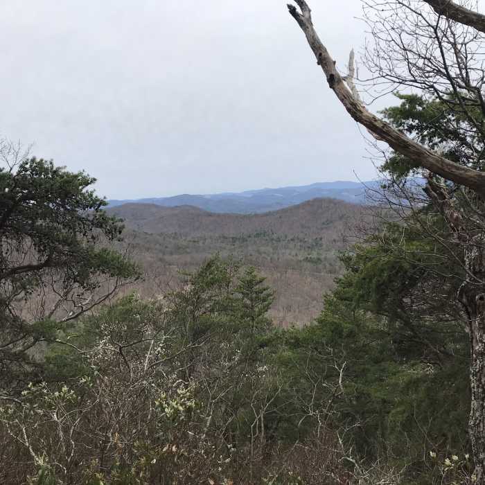
Dropping off the west face of Bother Knob from the northern section of the Shenandoah Mountain North (1024) trail, this 2,000' beast quickly descends to a fire road crossing. Continue west on 1026 following yellow blazes on a one-mile, steep doubletrack descent along the ridgetop. Look for a subtle trail entrance at the end of the doubletrack where things start to get even steeper.
Continue along the ridgetop, through a variety of difficult, exposed and steep terrain. There is one steep climb on the singletrack section that wraps up a sub-knob before things get really interesting. Stay on the ridge until there is a not-so-obvious hard lefthand turn. Do not continue along the ridge past the easy to miss turn... The drainage at the bottom is wide, flat and has disoriented even the most capable backwoods explorers.
After the left-hand turn, the trail follows an old logging roadbed into the flats. Keep an eye out for yellow blazes, the trail is hard to follow and grown over. If you get to the old upside-down school bus at the bottom, you know you're close. There is a single and easy Little Fork river crossing leading to a short climb back up to the bottom trailhead parking on the backside of reddish pavement.
No Condition Reports
Contributors

