
Ready to explore this trail?
View Trail Map in AppBikes are allowed on this trail from the trailhead (off Home Ranch Road) to the junction with White Gate trail.
Path Type
Point to Point
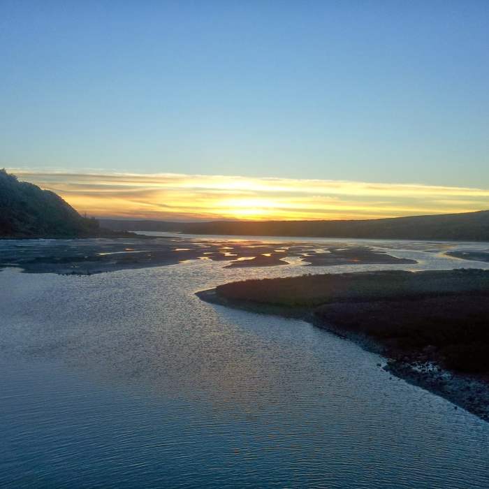
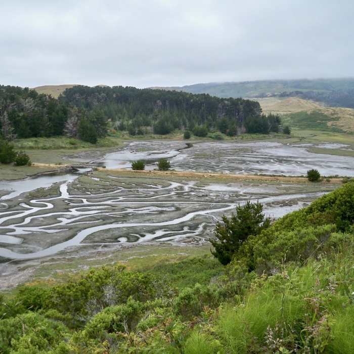
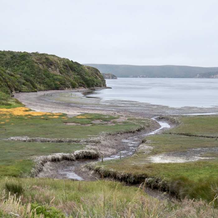
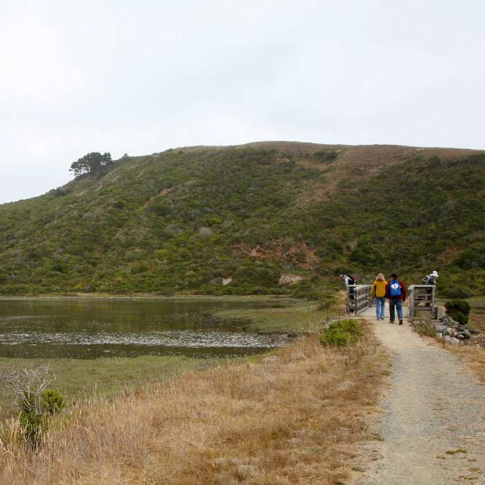
To avoid the crowds than can plague more popular point Reyes trail heads, opt for this isolated excursion past 5 different estuaries. Head south from the Estero parking area through grasslands before ducking into a dense stand of Monterrey pines. This used to be a cultivated Christmas tree farm. From here, a footbridge crosses Home Bay where mud or shallow baywater will be present depending on the tides. If you're lucky you may spot bat rays and leopard sharks swimming just below the water's surface. Climb up to the first of several hilltops on this undulating trail.
Trek downhill to another pond and then up to a knoll with a lone eucalyptus tree. One more climb brings you to the junction with the worthwhile Sunset Beach trail. Continue the ascent to one of the highpoints of the the Estero Trail and the junction with Drakes Head Trail. For many Sunset Beach or Drakes Head Trail are the final destinations, but if you want to extend your trip, continue eastward on Estero as it plunges steeply back down to sea level.
Pass through coastal wetlands on level terrain, crossing another estuary and Lower Estero Dam. Another steep uphill brings you to the junction with the Glenbrook Trail followed by a ridgetop amble back towards the ocean. From here you'll see how !Glenbrook Creek is stoppered by Upper and Lower Turkey Dams. One last climb up and over a ridge deposits you at the junction with Muddy Hollow trail which you can follow northeast and shortly reach the !Muddy Hollow Road Trailhead and parking area.
The southeastern section of the Estero trail was rerouted in 2008 when the !Muddy Hollow Dam was removed. Its removal was performed to restore habitat, increase ecological sustainability and permit trout and salmon passage. The Estero trail now ends at the !Muddy Hollow Road Trailhead, instead of at Limantour Beach parking area.
Avoid going off trail as poison oak is prevalent in this area. Also, good boots make the muddy areas more passable, although sometimes it is better to simply turn back if rains or cattle have made a mess of the trail - don't damage it further.
No Condition Reports
Contributors

