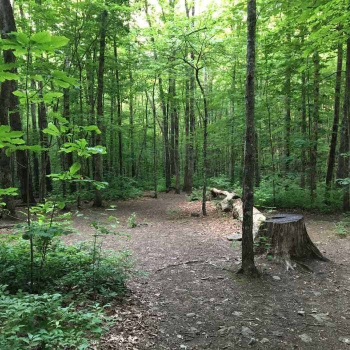
Near Wolf Ridge Trail
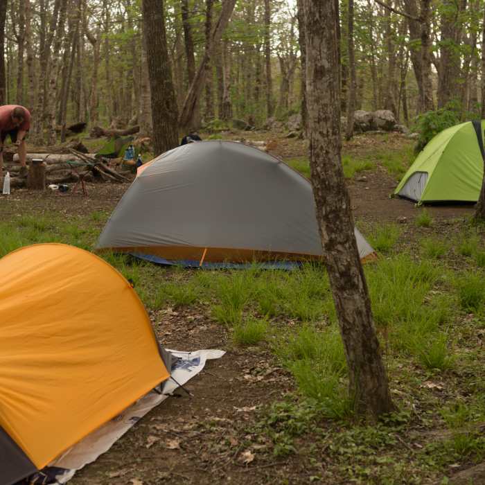
Backcountry campsite #13. A short walk to the bald.
Near Wolf Ridge Trail
Campsite 13 - Sheep Pen Gap. Great elevation, not a far hike from Gregory Bald. Hikers can stay here for the night, and catch a sunset/sunrise from atop the bald. Ample firewood. Also accumulates a decent amount of snow in the winter (by TN/NC standards).
Near Wolf Ridge Trail
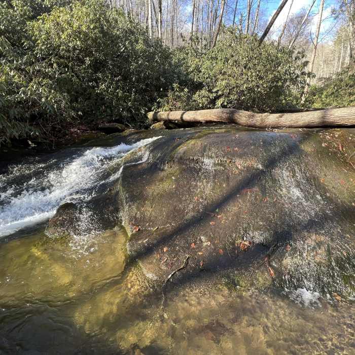
The creek flows alongside and crosses the Wolf Ridge Trail several times between the junction with the Twentymile and Twentymile Loop Trails
Near Wolf Ridge Trail
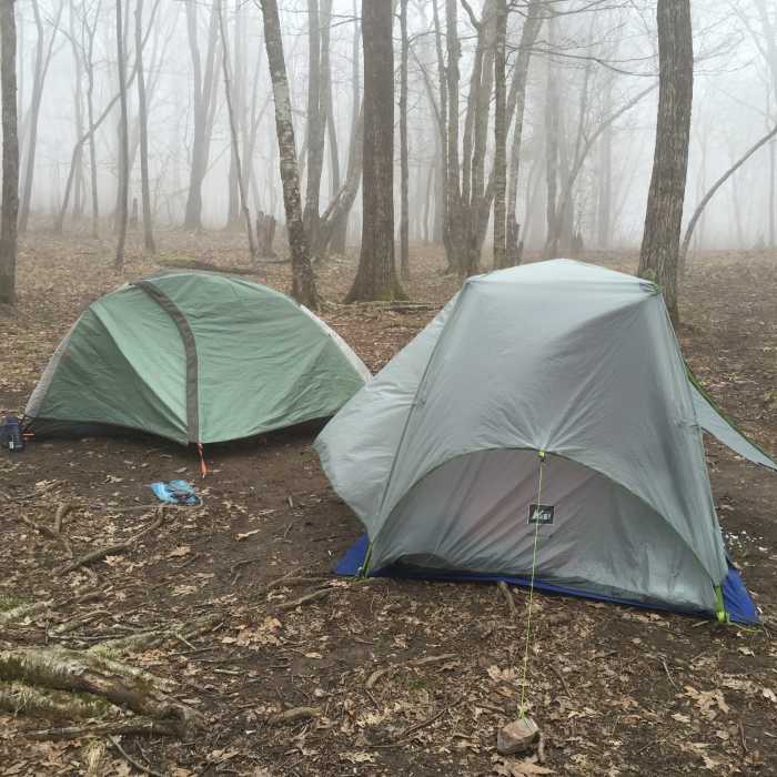
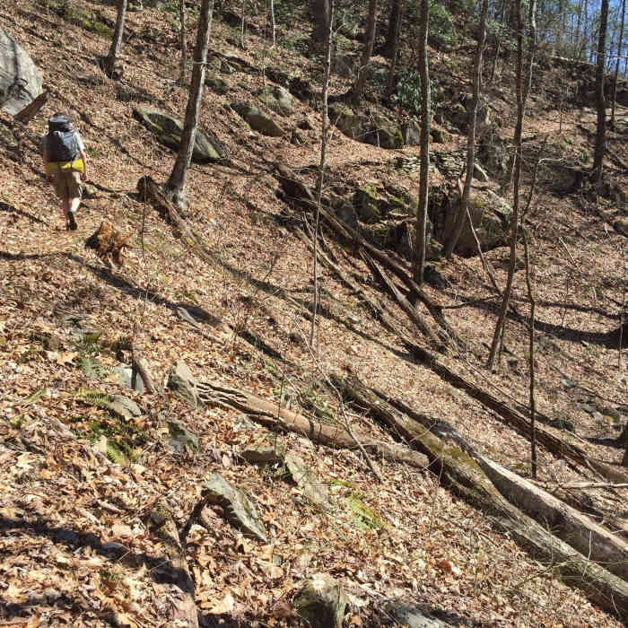
It's a relatively easy hike to campsite 95, with a long winding trail through the forest.
Near Wolf Ridge Trail
Campsite 95 on 06/11/16

Looking for more photos?

View All Photos
View Map
Driving Directions
Hike Trail

Wolf Ridge Trail

3.6 (9 Ratings)
Wolf Ridge Trail leads over 3,000 feet up to Gregory Bald Trail in a challenging but rewarding climb
6.2
mi
Distance
3,298
ft
Gain
strenuous
Difficulty
BirdingFall ColorsSpringViewsWildflowersWildlife
Access Issues
Reservations must be made for backcountry campsites. For more information, the GSMNP backcountry office can be contacted at (865) 436-1297 between the hours of 8 and 5 Eastern Time. Backcountry permits can also be purchased online.

Route Details

Flatter
Steeper
6.2mi
Distance
3,298ft
Elevation Gain
119ft
Elevation Loss
25%
Max Grade
4,730ft
High Point
1,464ft
Low Point
Path Type
Point to Point
Description
The best way to access this trail is to leave from the Twentymile Ranger Station, and make your way up a short section of the Twentymile Trail. From the fork that connects to Twentymile Trail, the trail is broad and will lead to the Twentymile Loop Trail in 1.1 miles. The stream crossings that are described as needing to wade or rock hop in the Little Brown Book now all have log bridges that can be used to cross the creek easily. Laurel lines the trail through this section providing shade on sunny days. At the junction with the Twentymile Loop Trail, visitors can opt to switch over, or continue northbound towards Campsite 95. From the campsite, it's all uphill through the woods and mountain laurels for roughly 5.2 miles until reaching Campsite 13 (Sheep Pen Gap). Many choose to stay at the site, where they can take a much shorter, roughly half a mile trail to Gregory Bald to catch a beautiful sunrise or sunset. Be wary of several fallen trees along the way. It's a bit of a challenging trail with a frequently steep incline, but both the campsite and Gregory Bald are well worth the effort.

Route Conditions

Report Conditions
Anonymous Adventurer
Some Issues
Downed Tree
Looking for more condition reports?
View History

Nearby Hike Routes

Twentymile Loop Trail

Hike Route

Twentymile Loop Trail

Birding
moderate
7.58 mi
+1,417 ft
Gregory Bald + Shuckstack Fire Tower via Twentymile Loop

Hike Route

Gregory Bald + Shuckstack Fire Tower via Twentymile Loop

Lake
extreme
18.8 mi
+4,789 ft
Yellow Creek Falls

Hike Route

Yellow Creek Falls

Waterfall
moderate
0.67 mi
+222 ft
Fontana Dam - Shuckstack Fire Tower

Hike Route

Fontana Dam - Shuckstack Fire Tower

Fall Colors
strenuous
8.98 mi
+2,624 ft
Appalachian Trail: Fontana Dam to Clingmans Dome

Hike Route

Appalachian Trail: Fontana Dam to Clingmans Dome

Views
extreme
33.31 mi
+11,017 ft
Smokies Challenge Adventure Run (SCAR)

Hike Route

Smokies Challenge Adventure Run (SCAR)

Birding
strenuous
71 mi
+17,944 ft
Contributors
Max Willner
