Near Upper Shingle Falls Trail
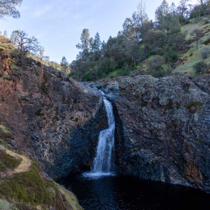
Shingle Falls (Beale Falls)
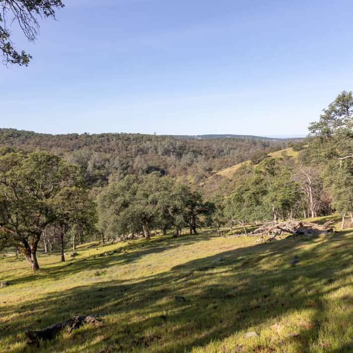
Near Upper Shingle Falls Trail
View from upper trail to Shingle Falls
Near Upper Shingle Falls Trail
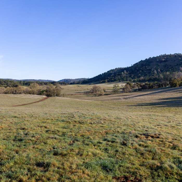
Rolling hills south of Spenceville Road
Near Upper Shingle Falls Trail
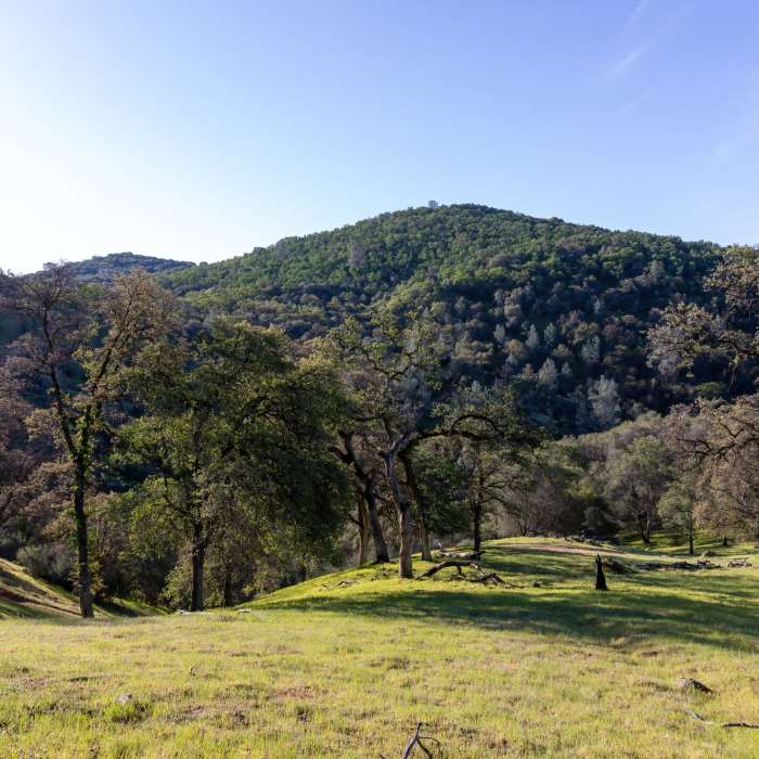
North side of Dry Creek

Looking for more photos?

View All Photos
View Map
Driving Directions
Hike Trail

Upper Shingle Falls Trail

4.0 (1 Rating)
A shortcut to Shingle Falls
0.8
mi
Distance
80
ft
Gain
moderate
Difficulty
ViewsWaterfall

Route Details

Flatter
Steeper
0.8mi
Distance
80ft
Elevation Gain
20ft
Elevation Loss
20%
Max Grade
640ft
High Point
572ft
Low Point
Path Type
Point to Point
Description
The upper trail to Shingle Falls (Beale Falls) has very little elevation change compared to the lower trail. Follow the contour line of the hills west of Shingle Falls until you reach the lower trail, just a minute away from the waterfall.

Route Conditions

Report Conditions
No Condition Reports
Report Conditions

Nearby Hike Routes

Shingle Falls

Hike Route

Shingle Falls

River/Creek
moderate
5.13 mi
+498 ft
Alan Thiesen Trail

Hike Route

Alan Thiesen Trail

Dogs Allowed
moderate
1.06 mi
+126 ft
Hidden Falls Loop

Hike Route

Hidden Falls Loop

River/Creek
moderate
8.11 mi
+922 ft
Point Defiance Loop Trail

Hike Route

Point Defiance Loop Trail

Lake
moderate
2.51 mi
+562 ft
Hoyt Trail

Hike Route

Hoyt Trail

Less Crowded
strenuous
8.32 mi
+3,162 ft
Nisenan Loop - Deer Creek Environs Trail

Hike Route

Nisenan Loop - Deer Creek Environs Trail

Views
easy
1.66 mi
+316 ft
Contributors
Tilman Giese
