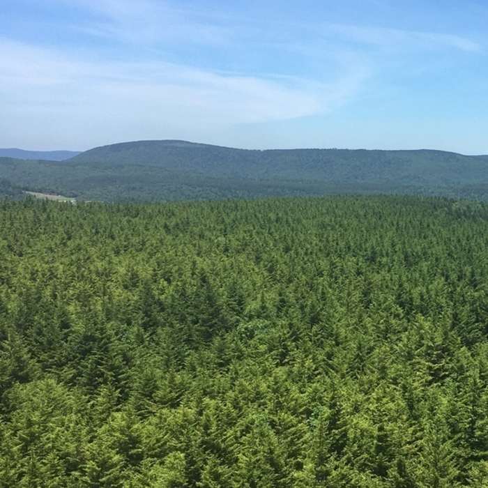
Near Fire Tower Trail
From top of fire tower looking north of Snowshoe sski resort

Looking for more photos?

View All Photos
Driving Directions
Hike Trail

Fire Tower Trail

4.0 (1 Rating)
A scenic hike with a view; start at the intersection of Cheat Mtn Ridge Trail and 6000 Steps.
2
mi
Distance
ft
Gain
moderate
Difficulty
Views
Access Issues
This trail is multi-use and occasionally has vehicle traffic.

Route Details

Flatter
Steeper
1.96mi
Distance
0ft
Elevation Gain
807ft
Elevation Loss
20%
Max Grade
4,726ft
High Point
3,919ft
Low Point
Path Type
Point to Point
Description
An improved gravel fire road that meanders across the ridge line before plunging toward the Shavers Fork River. This trail accesses McDonald Way and Lower Spruce Road. If you would like to elevate yourself to new heights, climb the 80 steps to the peak of the fire tower for a spectacular 360-degree view. For a less strenuous trek out, double back from the fire tower to 6000 Steps to Shavers Lake Road to Ballhooter Lift.

Route Conditions

Report Conditions
No Condition Reports
Report Conditions

Nearby Hike Routes

Cranberry Wilderness Loop

Hike Route

Cranberry Wilderness Loop

Cave
strenuous
16.56 mi
+2,022 ft
Ramsey's Draft Loop

Hike Route

Ramsey's Draft Loop

Commonly Backpacked
moderate
15.7 mi
+3,019 ft
Blue Suck Falls Loop

Hike Route

Blue Suck Falls Loop

Fall Colors
moderate
8.66 mi
+2,032 ft
Beards Mountain Loop

Hike Route

Beards Mountain Loop

Fall Colors
moderate
6.2 mi
+1,509 ft
Snarkley Route

Hike Route

Snarkley Route

extreme
26.71 mi
+12,335 ft
Upshur County Trails

Hike Route

Upshur County Trails

Birding
moderate
4.97 mi
+667 ft
Contributors
Shane Bradley
