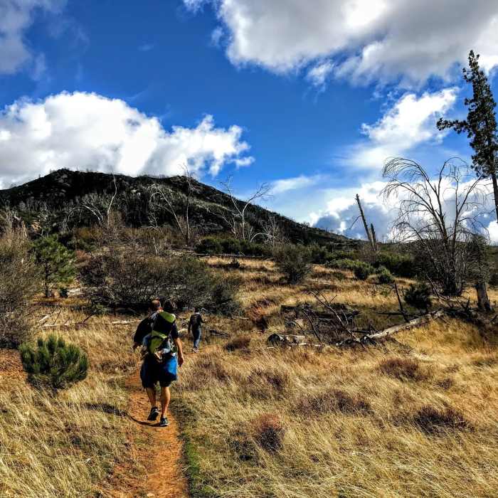
Near Cold Stream Trail
Stonewall Peak from the Cold Stream Trail

Looking for more photos?

View All Photos
Driving Directions
Hike Trail

Cold Stream Trail

4.0 (2 Ratings)
Enjoy a pretty alpine trail that passes Cold Steam.
4.1
mi
Distance
810
ft
Gain
moderate
Difficulty
BirdingRiver/CreekViewsWildflowers

Route Details

Flatter
Steeper
4.09mi
Distance
810ft
Elevation Gain
207ft
Elevation Loss
30%
Max Grade
4,906ft
High Point
4,116ft
Low Point
Path Type
Point to Point
Description
From the Cuyamaca Rancho Park Museum and Area Headquarters, cross the street and get on the trail. Start off in the forest and head slowly uphill to quickly pass Hill Trail branching off to the right. Continue along, and after about a mile, you'll come to an open rocky section. After another third of a mile you'll pass the Cold Spring Trail. From here the trail mirrors the road for awhile passing through mixed grassland spotted with trees. At around two miles the trail pulls away from the road again. From here the land becomes more open and grassy. Eventually the trail veers back toward the highway and crosses the Stonewall Peak Trail. The trail skirts the edge of Stonewall Mountain, where you'll get dramatic views of the summit. From here the trail trends downhill and passes some mature pine and live oak trees. Finally the trail dead-ends at the Vern Whitaker Trail.

Route Conditions

Report Conditions
No Condition Reports
Report Conditions

Nearby Hike Routes

West Mesa Loop

Hike Route

West Mesa Loop

Views
moderate
6.59 mi
+1,128 ft
Airplane Monument Loop

Hike Route

Airplane Monument Loop

Views
moderate
4.63 mi
+914 ft
Cuyamaca Peak

Hike Route

Cuyamaca Peak

Birding
moderate
5.59 mi
+1,646 ft
Stonewall Peak Loop

Hike Route

Stonewall Peak Loop

Birding
moderate
5.15 mi
+1,082 ft
Stonewall Peak

Hike Route

Stonewall Peak

Lake
easy
1.92 mi
+869 ft
Minshall Trail to Stonewall Mine Loop

Hike Route

Minshall Trail to Stonewall Mine Loop

Lake
easy
3.31 mi
+193 ft
Contributors
Russell Hobart
