Ready to explore this trail?
View Trail Map in AppPath Type
Loop
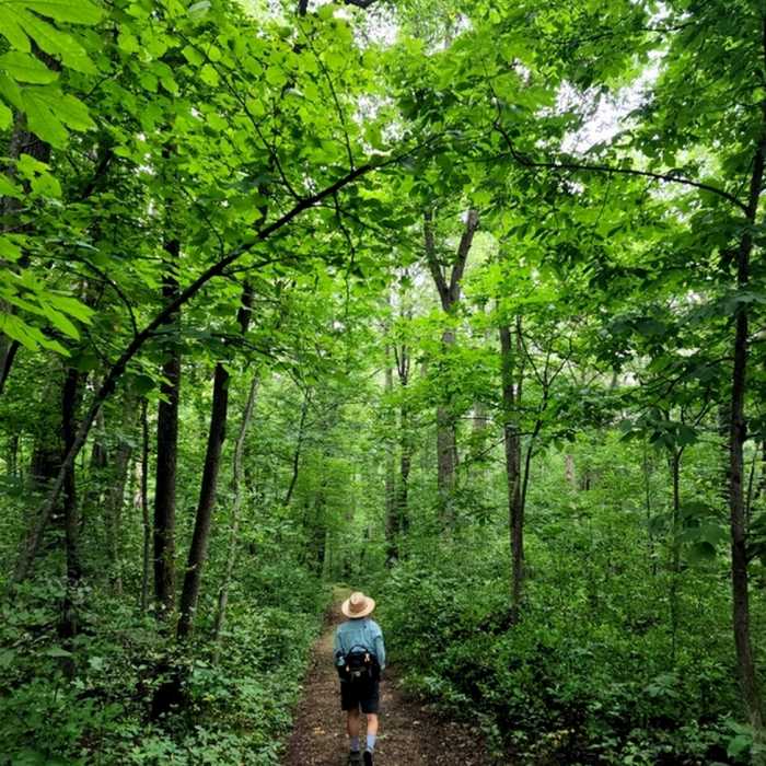
Going counter-clockwise from the southeast parking lot (not the one at the campground), this essentially level trail takes you through oak savanna, a mixture of grasslands and bur oaks, and scattered stands of hardwoods before turning south (near a junction with the Shooting Star State Trail) along the Upper Iowa River.
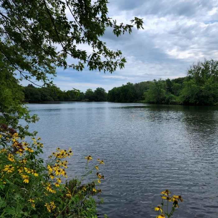
About a mile into the hike, you'll come to a junction with the trail to the campground. A short distance northwest on this trail is a stout bridge from which you can get a good view of the river and the lake.
Past the bridge, there's a bit more forest, then the trail parallels the lake shore, crosses a slough connected to the lake, and then heads back to the parking lot.
No Condition Reports
Contributors

