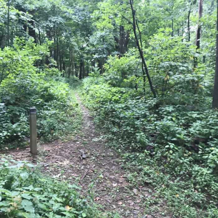
Near Jordan River Trail
Jordan River Trail to the left, running into the Mt. Marshall Trail.

Looking for more photos?

View All Photos
View Map
Driving Directions
Hike Trail

Jordan River Trail

3.0 (1 Rating)
Head towards the Mt. Marshall Trail along the Jordan River.
1.2
mi
Distance
805
ft
Gain
moderate
Difficulty

Route Details

Flatter
Steeper
1.24mi
Distance
805ft
Elevation Gain
0ft
Elevation Loss
15%
Max Grade
1,927ft
High Point
1,119ft
Low Point
Path Type
Point to Point
Description
There is ample parking on the road near the trailhead. Head toward Shenandoah National Park along the Jordan River. You'll pass a small private cabin on your left as you come in off the road. 100 yards up the trail from the cabin, you'll reach the entrance to the Park. The hike is steep at times but the trail is clear. You'll follow the yellow blazes, but there's virtually no risk of getting off trail. At 1.3 miles, you'll reach a T-interstion with the Mt. Marshall Trail. The out-and-back is approximately one hour.

Route Conditions

Report Conditions
Anonymous Adventurer
Some Issues
Downed Tree
Anonymous Adventurer
Some Issues
Downed Tree
Looking for more condition reports?
View History

Nearby Hike Routes

Compton Peak from Jenkins Gap

Hike Route

Compton Peak from Jenkins Gap

Geologically Significant
moderate
3.26 mi
+862 ft
North Marshall

Hike Route

North Marshall

Birding
moderate
0.6 mi
+201 ft
Compton Gap to Compton Peak

Hike Route

Compton Gap to Compton Peak

Birding
moderate
2.28 mi
+767 ft
Compton Gap North

Hike Route

Compton Gap North

Fall Colors
moderate
1.49 mi
+299 ft
South and North Mount Marshall Out-and-Back

Hike Route

South and North Mount Marshall Out-and-Back

Views
moderate
3.89 mi
+847 ft
Big Devils Stairs Out-and-Back

Hike Route

Big Devils Stairs Out-and-Back

Fall Colors
moderate
4.75 mi
+842 ft
Contributors
Kyle Boynton
