Near Mountain Laurel
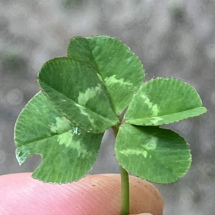
So lucky, I found a 5-leaf clover.
Near Mountain Laurel
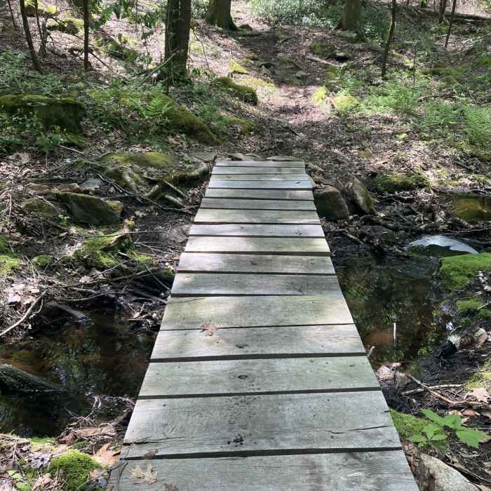
Small footbridge, along the path.
Near Mountain Laurel
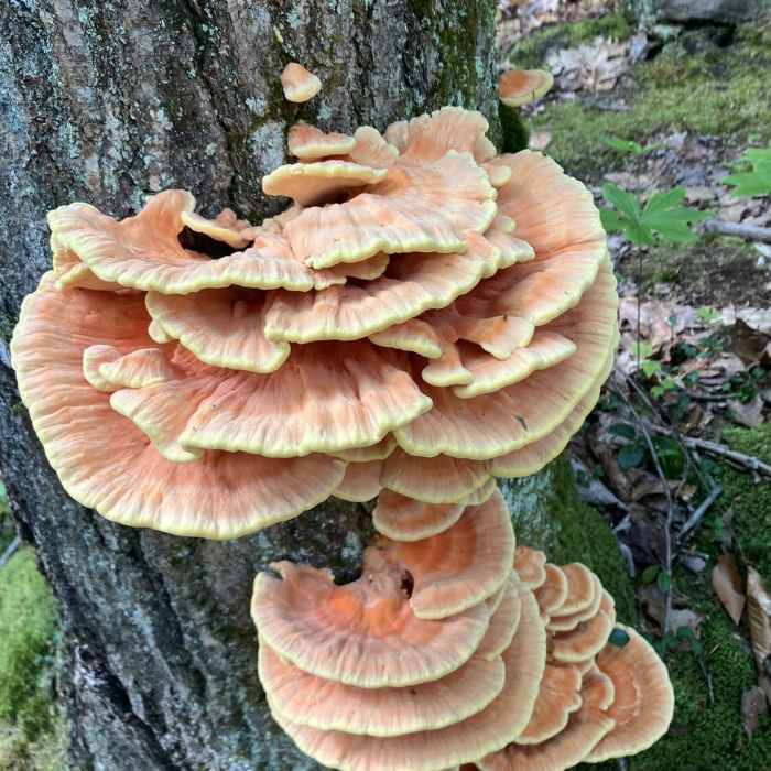
Chicken of the Woods Mushroom.

Looking for more photos?

View All Photos
Driving Directions
Hike Trail

Mountain Laurel

3.0 (1 Rating)
1.4
mi
Distance
224
ft
Gain
moderate
Difficulty
BirdingGeologically SignificantWildlife

Route Details

Flatter
Steeper
1.38mi
Distance
224ft
Elevation Gain
105ft
Elevation Loss
20%
Max Grade
1,161ft
High Point
944ft
Low Point
Path Type
Point to Point
Description
This trail branches off Horse Hill Brook Road and heads northward. It passes by Beech Cut-off (on the left), and keeps right. The trail travels through a small pass, in-between the hilltops. It descends, slightly, towards Sampson Road, then turns left. Here, the trail runs along a rocky little ridge, through the forest. It passes through some stone walls, then ends at the junction with Horseshoe and Horse Hill.

Route Conditions

Report Conditions
Anonymous Adventurer
Some Issues
Downed Tree
Looking for more condition reports?
View History

Nearby Hike Routes

Lyman Brook Loop

Hike Route

Lyman Brook Loop

Birding
easy
1.59 mi
+90 ft
Sanderson Brook Falls Trail

Hike Route

Sanderson Brook Falls Trail

River/Creek
moderate
1.95 mi
+288 ft
Arcadia Walking Loop (No Running Allowed)

Hike Route

Arcadia Walking Loop (No Running Allowed)

Birding
easy
0.8 mi
+28 ft
Goat Peak Lookout Loop

Hike Route

Goat Peak Lookout Loop

Birding
easy
1.6 mi
+335 ft
NET-DOC-Quarry Loop

Hike Route

NET-DOC-Quarry Loop

Birding
easy
2.21 mi
+478 ft
Goat Peak Out-and-Back

Hike Route

Goat Peak Out-and-Back

Views
strenuous
0.94 mi
+282 ft
Contributors
David Smith
