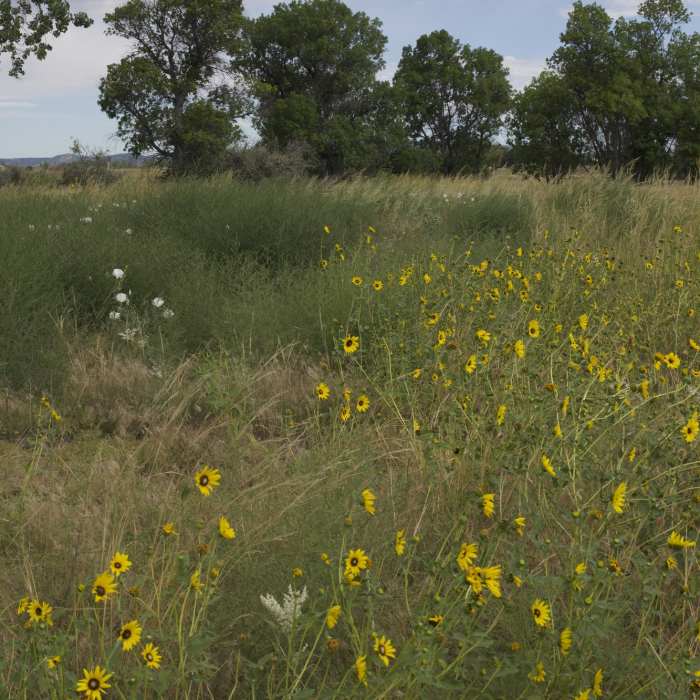
Near Confluence Trail
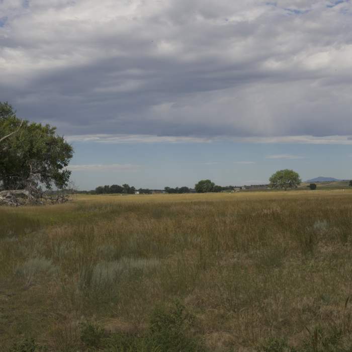
Fort Laramie is visible from several locations along the trail. It is fun to imagine approaching the fort without the modern conveniences, and how much of a welcome site it must have been for travelers.
Near Confluence Trail
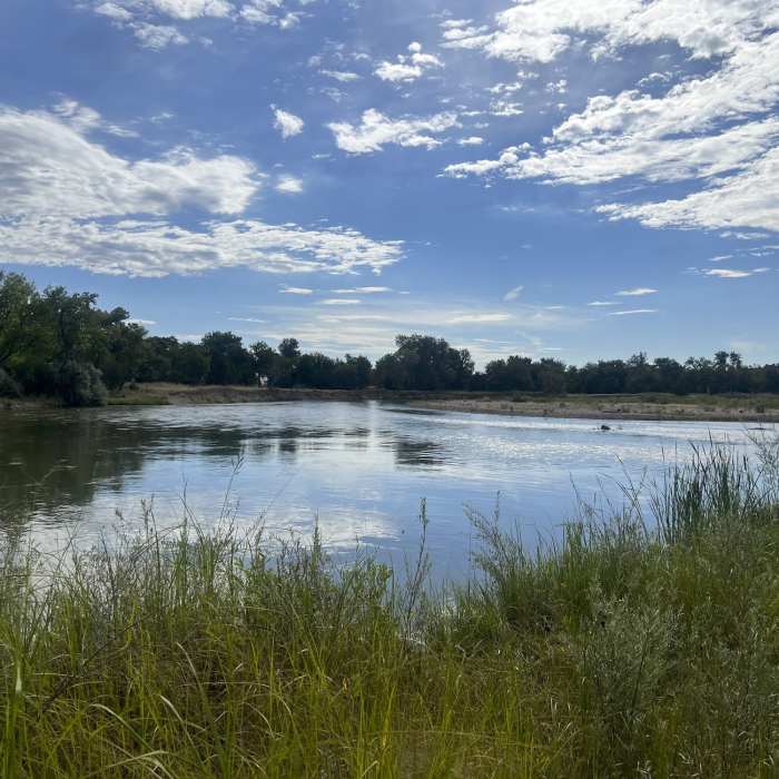
The trail reaches the confluence of the North Platte River and the Laramie River. From this point on, the river is known as the North Platte.
Near Confluence Trail
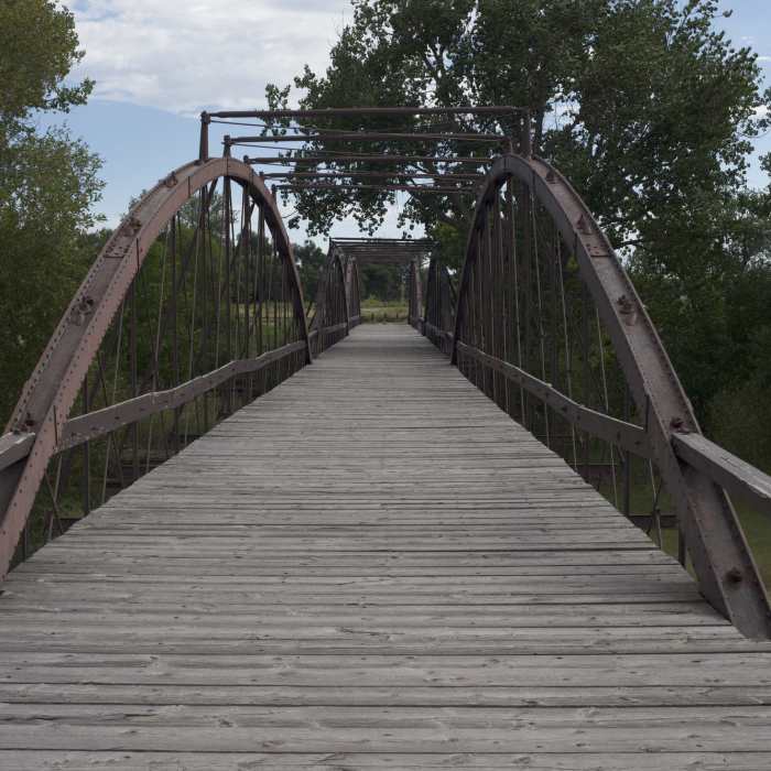
There is wrought iron bridge that crosses the North Platte river at the trailhead that you can walk out on to enjoy views of the river.
Near Confluence Trail
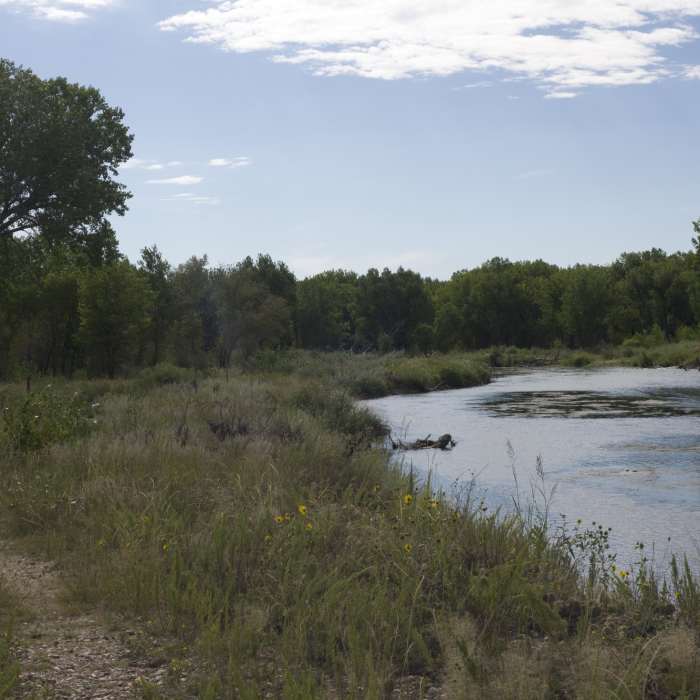
The trail approaches the Laramie River and follows it before getting to the confluence with the North Platte River.
Near Confluence Trail
Wildflowers bloom along the trail in spring and summer time.

Looking for more photos?

View All Photos
View Map
Driving Directions
Hike Trail
Buy Now View in 3D

Confluence Trail

3.0 (1 Rating)
Hike through the bottomlands along North Platte and Laramie Rivers arriving at their confluence.
1.9
mi
Distance
14
ft
Gain
moderate
Difficulty
BirdingLess CrowdedRiver/CreekViewsWildflowers

Route Details

Flatter
Steeper
1.87mi
Distance
14ft
Elevation Gain
14ft
Elevation Loss
5%
Max Grade
4,231ft
High Point
4,217ft
Low Point
Path Type
Loop
Description
Part of the Fort Laramie National Historic Site, the Confluence Trail meanders through a forest of cottonwood and willow trees and provides good views of the North Platte and Laramie Rivers. The trail starts from the south parking lot of the Old Army Bridge that crosses the North Platte River and forms a lasso loop through the bottomlands. After parking, you can hike out on the Old Army Bridge and enjoy views of the river. Having explored the bridge, the trail starts to the right of the birdge and drops below the bridge. The trail moves along the North Platte River where views of the river can be enjoyed. Moving through the woods, the trail comes to the fork where you can continue straight along the river or break off to the right into the woods. Going to the right, the trail moves through cottonwood trees and through fields of wildflowers. In the distance, you can see Fort Laramie. Imagine traveling through the area in the 1800s and seeing the fort in the distance, a place where you can rest and resupply on your trip. As the trail continues to the right, a spur trail leads off to road RD 15. After the spur trail, the trail moves alongside the Laramie River as it flows down river to the confluence with the North Platte River. At the confluence, the two rivers combine and continue eastward as the North Platte River. After enjoying the views of the two rivers, the trail moves along the North Platte River back toward the split. Once it arrives at the split, you retrace your steps for 1/3 of a mile back to the parking lot. This is a nice quiet hike where you won't come across a lot of other hikers.

Route Conditions

Report Conditions
No Condition Reports
Report Conditions

Nearby Hike Routes

Bison Trail

Hike Route

Bison Trail

Less Crowded
easy
2.96 mi
+138 ft
North Crow Reservoir Loop

Hike Route

North Crow Reservoir Loop

Lake
easy
3.12 mi
+331 ft
Lariat Trail + Stone Temple Circuit

Hike Route

Lariat Trail + Stone Temple Circuit

Views
easy
3.74 mi
+442 ft
Chadron State Park

Hike Route

Chadron State Park

Views
easy
1.74 mi
+594 ft
Mahogany to Towhee Loop

Hike Route

Mahogany to Towhee Loop

Views
moderate
5.21 mi
+429 ft
Bent Rock and K-Lynn Cameron Loops

Hike Route

Bent Rock and K-Lynn Cameron Loops

Birding
moderate
6.85 mi
+754 ft
Contributors
David Hitchcock
