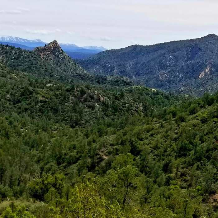
Near Towel Creek Trail #67
Overlook
Near Towel Creek Trail #67
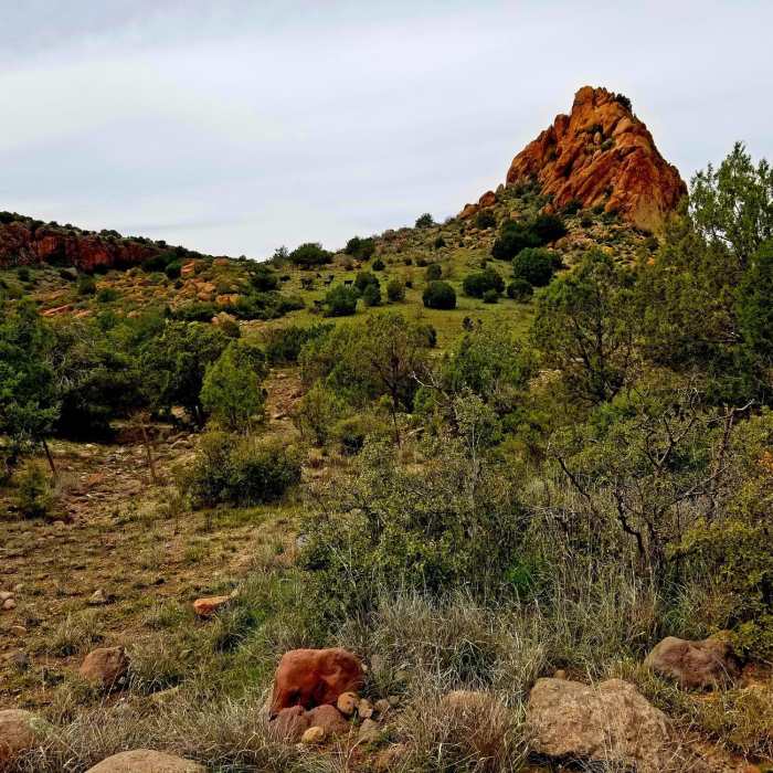
Peak at right of entry
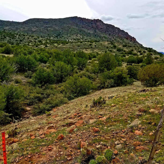
Near Towel Creek Trail #67
Field close to watering hole

Looking for more photos?

View All Photos
Driving Directions
Hike Trail

Towel Creek Trail #67

3.0 (2 Ratings)
8
mi
Distance
909
ft
Gain
moderate
Difficulty

Route Details

Flatter
Steeper
7.99mi
Distance
909ft
Elevation Gain
2,214ft
Elevation Loss
55%
Max Grade
4,478ft
High Point
2,812ft
Low Point
Path Type
Point to Point
Description
Trail starts about 0.3 miles from the parking area. Start by hiking down the dirt road and the trail gate will be on the right. Trail seems to be an old ATV/horse trail. Approximately three miles in you'll come across a cattle watering hole and corral that is fenced and partially gated. This is where the trail seems to disappear and you'll need to use the map and forge ahead. Not sure who logged the original route, but its not clear and easy to follow just by sight.

Route Conditions

Report Conditions
No Condition Reports
Report Conditions

Nearby Hike Routes

Fossil Springs Trail

Hike Route

Fossil Springs Trail

Cave
strenuous
8.51 mi
+1,666 ft
Arizona Trail Passage 26: Highline

Hike Route

Arizona Trail Passage 26: Highline

Views
extreme
20.79 mi
+4,845 ft
Mogollon Rim Loop

Hike Route

Mogollon Rim Loop

Views
extreme
42.83 mi
+6,815 ft
Montezuma's Castle Trail

Hike Route

Montezuma's Castle Trail

Birding
easy
0.42 mi
+136 ft
Anna Mae

Hike Route

Anna Mae

easy
0.29 mi
+143 ft
Waterfall

Hike Route

Waterfall

Waterfall
easy
0.05 mi
+0 ft
Contributors
The Turk
