Ready to explore this trail?
View Trail Map in AppPath Type
Point to Point
Moose River Route - Moose River to Resplendent Crossing (this trail) starts 2.8 miles from Yellowhead Highway (Hwy 16) where Moose River Route: Yellowhead Highway to Moose River ends.
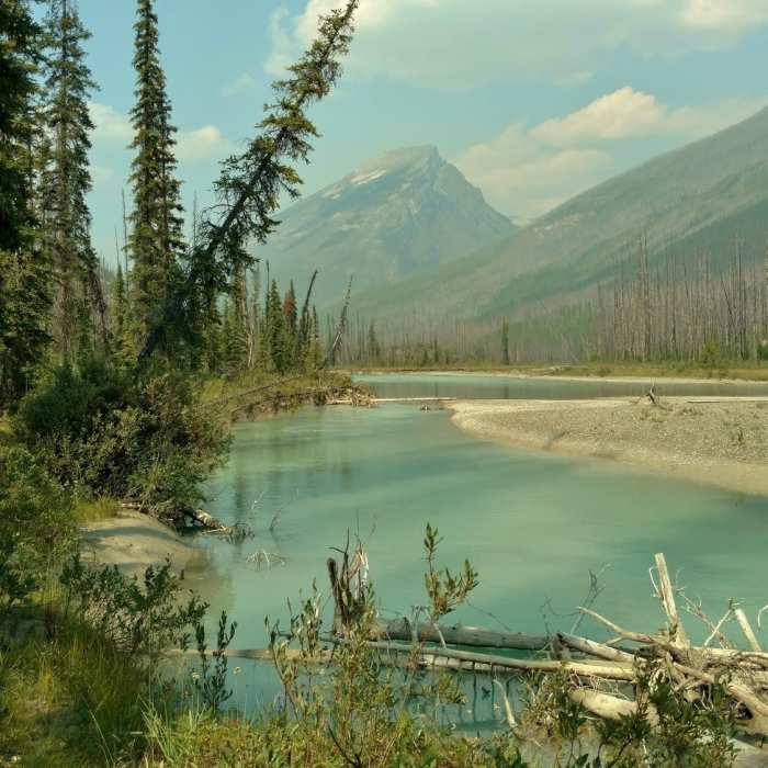
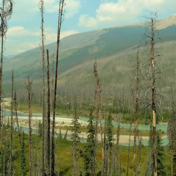
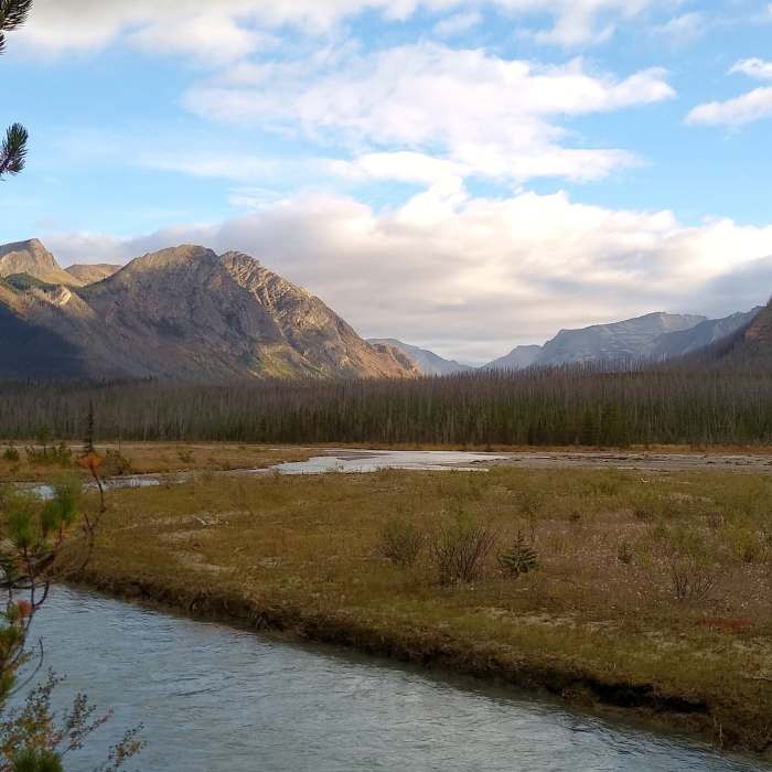
The first 1.9 miles of this trail are flat as the trail follows a calm stretch of the beautiful turquoise Moose River upstream. Moose River is to the right/east of the trail with rugged mountains rising from its far banks. The trail is sometimes right next to the river and sometimes in grassy meadows that stretch to the river, as the river winds around. Forested hills, some with mature forest and others with old burn scars, rise to the left/west of the trail.
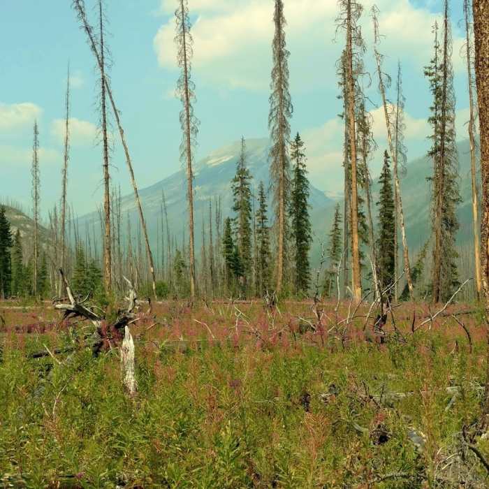
At the 1.9 mile mark the trail veers left/west to climb a low rise covered with a regenerating burn area. The trail reaches the top of this low rise and follows it northwest for a little less than a mile. A small lake is passed as the trail travels through the old burn area covered with young firs.
The trail then drops down a short ways at the 2.7 mile mark to return to the Moose River and healthy forest. Once again following the Moose River upstream, but a slight ways away from the river, the river can be heard but not seen through the forest. At the 3.7 mile mark, the trail jogs left in the forest, far enough away from the river to no longer hear it. However, a short ways later, around the 4.3 mile mark, still unseen, the river can be heard loudly rushing down some falls or cascades to the right/east. But wait, this is NOT the Moose River. It is Resplendent Creek that empties into the Moose River. Moose River has veered away to the northeast while we were away from it.
The trail now heads towards Resplendent Creek in the thick, mature forest with glimpses of the rapids and falls visible through the trees. Arriving near the banks of Resplendent Creek in the thick forest, the trail heads northwest next to Resplendent Creek, sometimes in the forest and sometimes right next to the creek. This section along Resplendent Creek is a pretty section but can be rather rough going due to roots, mud, rocks, puddles, etc.
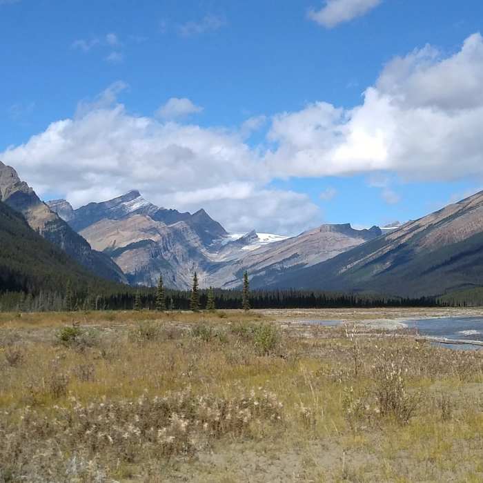
Traveling upstream along Resplendent Creek, the creek slowly widens out to spread over gravel flats, especially over the last 1.5 miles. At the 7.1 mile mark, the trail emerges from the forest into grassy meadows that lead up to the gravel flats. Almost immediately, Resplendent trail camp can be seen on the left/west, in the trees at the meadow's edge. This trail description ends here at the gravel flats.
No Condition Reports
Contributors

