Near Point Trail
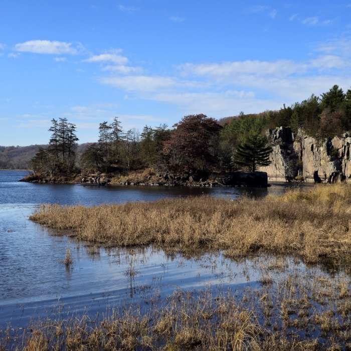
Cliffs on the St. Croix and Rock Island from the end of the peninsula.
Near Point Trail
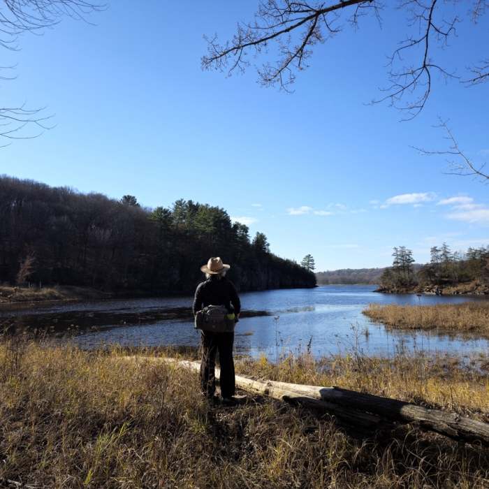
View of the St. Croix River from the end of the peninsula.

Looking for more photos?

View All Photos
View Map
Driving Directions
Hike Trail

Point Trail

4.0 (1 Rating)
A winter route through lowland forest along the St. Croix River.
1.9
mi
Distance
ft
Gain
moderate
Difficulty
River/CreekViewsWinter Only
Access Issues
A Wisconsin State Park System vehicle admission sticker ($8-$11/day or $28-$38/year) is required on all motor vehicles stopping in state parks, forests and recreation areas. Winter trails here are not maintained during summer and access to these trails is not available until the ground is frozen. They are open to snowshoeing, hiking, pets, and ungroomed cross-country skiing.

Route Details

Flatter
Steeper
1.87mi
Distance
0ft
Elevation Gain
0ft
Elevation Loss
5%
Max Grade
699ft
High Point
689ft
Low Point
Path Type
Loop
Description
This trail departs from the Quarry Trail, goes south to the end of a peninsula in the St. Croix River near Rock Island, and then returns to the Quarry Trail a little inland on the west side of a large marsh. The views of the limestone cliffs across the river are amazing, as is the view of more cliffs and Rock Island from the end of the peninsula.

Route Conditions

Report Conditions
No Condition Reports
Report Conditions

Nearby Hike Routes

William O'Brien Tour

Hike Route

William O'Brien Tour

Birding
moderate
10.4 mi
+725 ft
Hiking Club Trail

Hike Route

Hiking Club Trail

Views
easy
5.39 mi
+355 ft
Southern Trails Loop

Hike Route

Southern Trails Loop

Dogs Allowed
easy
2.11 mi
+184 ft
Arcola High Bridge Viewpoint

Hike Route

Arcola High Bridge Viewpoint

Dogs Allowed
easy
0.77 mi
+0 ft
Wetlands Loop Trail

Hike Route

Wetlands Loop Trail

Dogs Allowed
easy
1.11 mi
+0 ft
Linwood School Forest Trails Loop

Hike Route

Linwood School Forest Trails Loop

Dogs Allowed
easy
3.28 mi
+63 ft
Contributors
BK Hope
