Ready to explore this trail?
View Trail Map in AppThe US Border Patrol requests that no vehicles are left at or near the southern terminus of the CDT.
Path Type
Point to Point
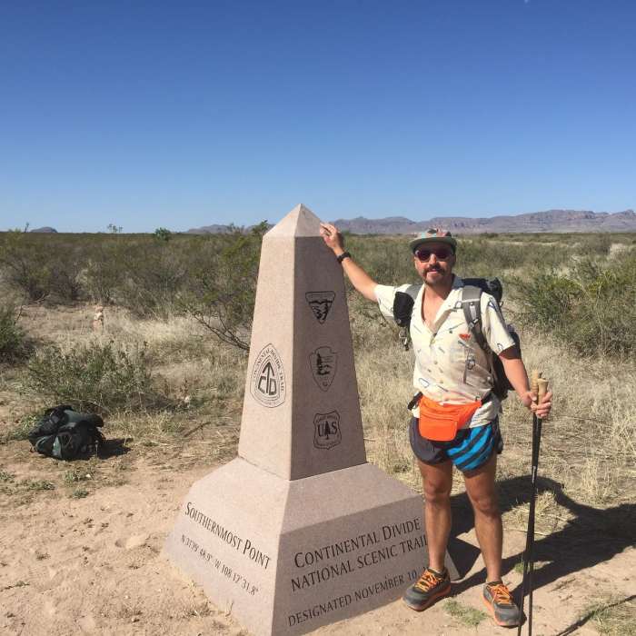
After a long, bumpy, and slow drive from the nearest paved road, a small shade structure and obelisk mark the beginning of the Continental Divide National Scenic Trail (CDT) a 3,100 mile journey to the Canadian border.
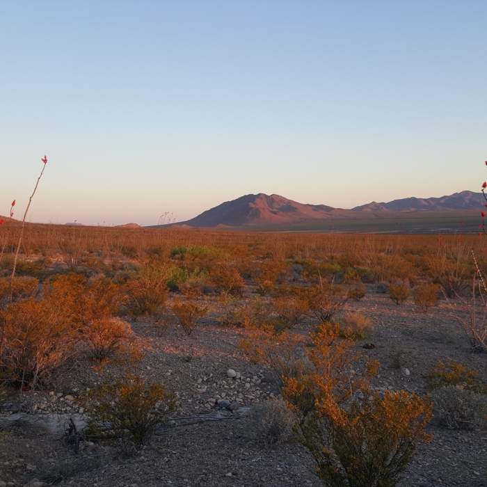
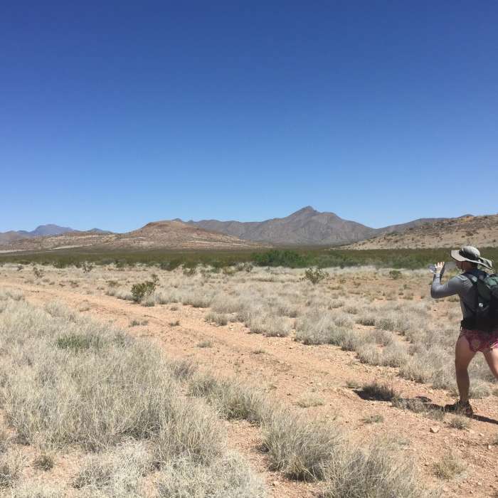
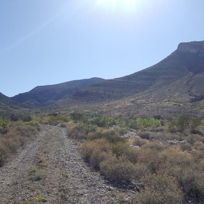
There is not a visible trail for this entire section apart from the BLM roads that the route occasionally follows. As more hikers use the CDT some tread has been beaten in, but for the most part, this section is all line of sight, navigated by tall poles with the CDT emblem on them. In the wilderness study area, the poles turn to high cairns and simple wooden posts with no markings, making navigation much more difficult.
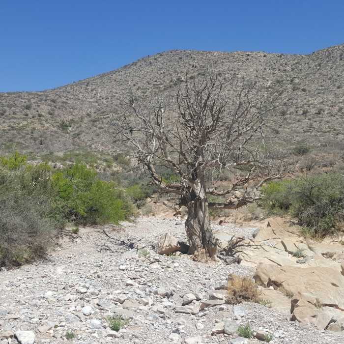
The trail starts at the border and heads through open desert into Sheridan Canyon on the South Side of the Big Hatchets. The trail follows both roads and the wash through the canyon where it emerges at the first water cache box after about 13 miles. The next section moves into the lower slopes of the Big Hatchet Mountains and into the wilderness study area, where trail markings are not allowed. Pay attention to the wooden posts. The final section of this segment leaves those slopes and descends again into a scrub desert landscape, ending at NM Highway 81 and the second water cache box.
No Condition Reports
Contributors

