Ready to explore this trail?
View Trail Map in AppClosed when muddy.
Path Type
Point to Point
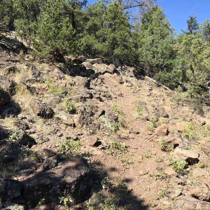
There are two trailheads for this trail, allowing hikers to complete a point-to-point hike in either direction or a twelve-mile out-and-back. From the west end (as mapped), things start with a singletrack stretch that transitions to a gentle climb. At 1.6 miles, there's a short descent before the trail turns to the right and then to a hard left which climbs to a scree field that you hike across. On the west is a rocky drop.
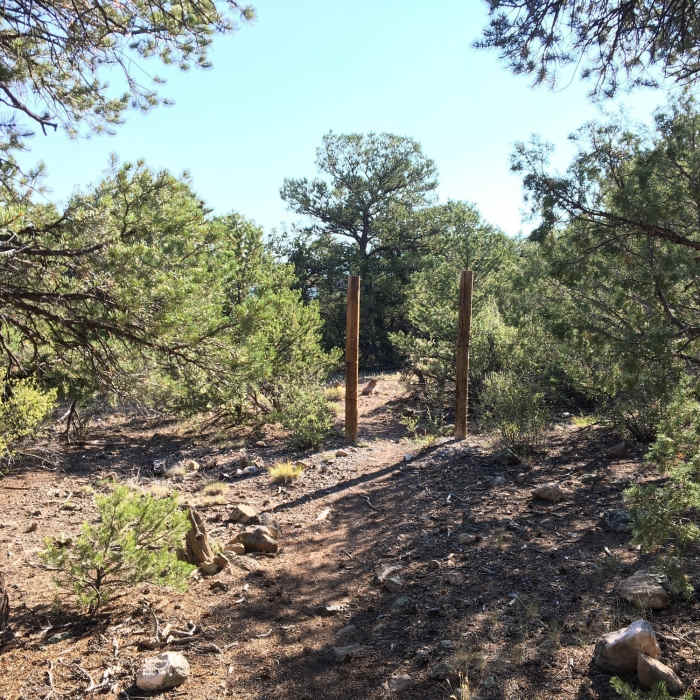
At almost two miles, you'll come to an un-gated style where you can pass through the fence. Turn right and climb, it's a tenth of a mile on doubletrack to the singletrack. After 200 yards, there's a steep series of switchbacks that will challenge hikers. The singletrack continues to a doubletrack and hikers will continue climbing up a hill to look for a rusty gas can that marks the singletrack to the right.
This singletrack continues across two doubletrack trails. Eventually, turn right on doubletrack for a tenth of a mile and then turn left to pass by a black pipe that marks a well head. The trail will turn to a slight right marked with a beer can on a tree. This will take you through the sage to a doubletrack, which turns to the left to climb another hill.
Where the trail intersects the Punto de Coyote Vista Trail (Loop), the singletrack splits to circle around a rock-capped prominence (there's also a short spur to the top for a view). The south side is the side hikers climb from the east trailhead.
The trail is steep and it soon enters an area with large rocks that you have to navigate; take it slow. The loop quickly comes back together and the Las Vistas de Questa Trail continues to overlap with the Punto de Coyote Vista Trail (Loop) down to the east trailhead below. It's common for hikers to follow the loop around and make a return as mapped out in the West Trailhead hike. Otherwise, continue down the trail.
No Condition Reports
Contributors

