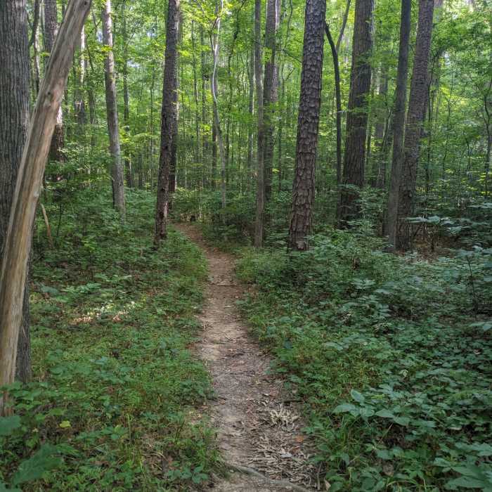
Near New Hope Creek Bottomlands Trail
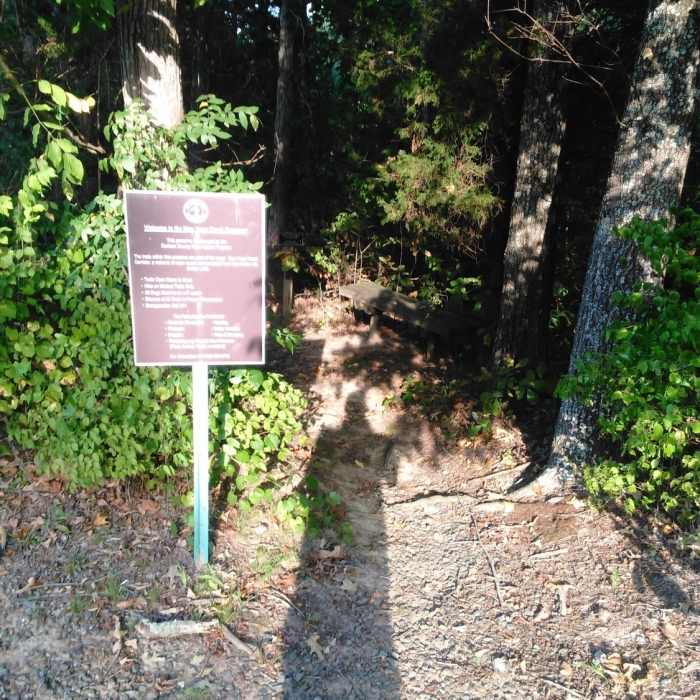
Entrance to New Hope Creek Trail
Near New Hope Creek Bottomlands Trail
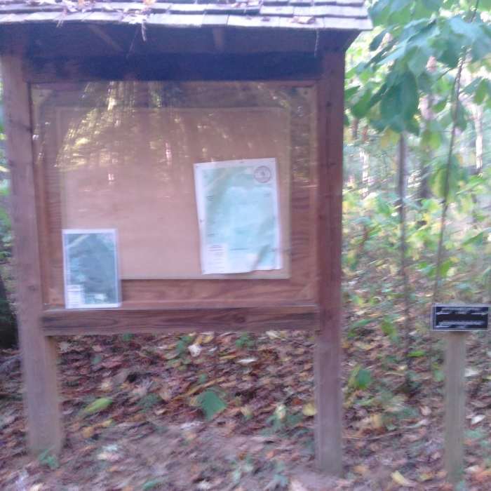
New Hope Creek Kiosk.
Near New Hope Creek Bottomlands Trail
Trail Kiosk from Southwest Durham Road
Near New Hope Creek Bottomlands Trail
Trail Kiosk from Southwest Durham Road.
Near New Hope Creek Bottomlands Trail
New Hope Bottomlands trail section.

Looking for more photos?

View All Photos
Driving Directions
Hike Trail

New Hope Creek Bottomlands Trail

3.0 (7 Ratings)
A challenging singletrack trail, that keeps your senses guessing.
1.5
mi
Distance
ft
Gain
moderate
Difficulty
BirdingFall ColorsLess CrowdedRiver/Creek
Access Issues
Open dawn to dusk.

Route Details

Flatter
Steeper
1.46mi
Distance
0ft
Elevation Gain
2ft
Elevation Loss
5%
Max Grade
257ft
High Point
244ft
Low Point
Path Type
Loop
Description
If you are a hiker, this is the place for you. The New Hope Creek Trail portion is a winding jaunt through the forest that closely follows New Hope Creek. Surprisingly, the trail is relatively quiet, being so close to 15/501( Durham/Chapel Hill Blvd.). The trail is part of a natural floodplain, so it would be advisable not to run or hike after a heavy rain.

Route Conditions

Report Conditions
No Condition Reports
Report Conditions

Nearby Hike Routes

Korstian Foot Trail Loop

Hike Route

Korstian Foot Trail Loop

Birding
moderate
6.82 mi
+644 ft
Duke Korstian Loop

Hike Route

Duke Korstian Loop

Birding
moderate
4.01 mi
+403 ft
Battle Branch / Bolin Creek Loop

Hike Route

Battle Branch / Bolin Creek Loop

Birding
moderate
3.53 mi
+206 ft
Al Buehler and Sally Meyerhoff Trails

Hike Route

Al Buehler and Sally Meyerhoff Trails

Birding
moderate
3.71 mi
+259 ft
Duke Gardens Loop

Hike Route

Duke Gardens Loop

Fall Colors
easy
1.56 mi
+122 ft
Johnston Mill Loop

Hike Route

Johnston Mill Loop

Fall Colors
moderate
2.94 mi
+194 ft
Contributors
Kevin Rumsey
