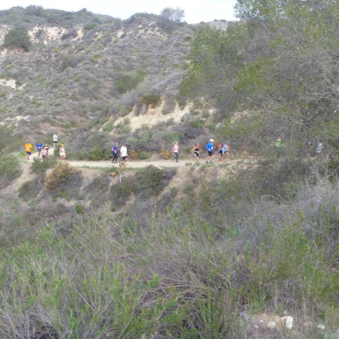
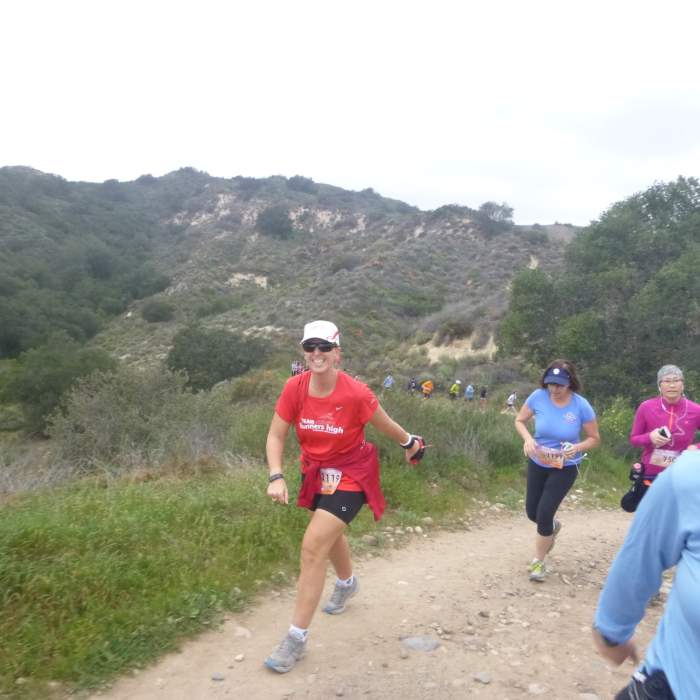
Near Coyote Trail
On the way up Paw Foot/Live Oak Canyon
Near Coyote Trail
Live Oak Canyon Trail

Looking for more photos?

View All Photos
Driving Directions
Hike Trail

Coyote Trail

3.0 (1 Rating)
A moderate climb from the bottom of the canyon to Live Oak Trail.
1
mi
Distance
401
ft
Gain
moderate
Difficulty
Access Issues
Trails are closed for three days following rain. The park is open year round from 7 am to sunset. Parking is $3 entry fee per vehicle per day Monday to Friday, and $5 entry fee per vehicle per day Saturday and Sunday. Rates may increase on holidays or for events

Route Details

Flatter
Steeper
1.01mi
Distance
401ft
Elevation Gain
25ft
Elevation Loss
20%
Max Grade
1,322ft
High Point
937ft
Low Point
Path Type
Point to Point
Description
From the parking area, head north on Coyote Trail. The trail crosses the Hoffman Homestead Trail at 0.3 miles and parallels the road northwest where it merges with and becomes Coyote Canyon Trail. The trail continues to ascend to the junction with Live Oak Trail at 1 mile. Thanks to John McKinney, The Trailmaster, for sharing this trail description. To learn more about trails in California, check out his guides at The Trailmaster Store.

Route Conditions

Report Conditions
No Condition Reports
Report Conditions

Nearby Hike Routes

O'Neill Park Loop Vista Trail

Hike Route

O'Neill Park Loop Vista Trail

Views
moderate
3.66 mi
+819 ft
Bell Peak Out and Back

Hike Route

Bell Peak Out and Back

Views
moderate
3.92 mi
+1,358 ft
Serrano Creek Trail

Hike Route

Serrano Creek Trail

Dogs Allowed
moderate
9.88 mi
+567 ft
Santiago Peak via Holy Jim Trail

Hike Route

Santiago Peak via Holy Jim Trail

Views
extreme
20.49 mi
+4,773 ft
Modjeska/Santiago Peak

Hike Route

Modjeska/Santiago Peak

Views
strenuous
17.41 mi
+6,494 ft
Whiting Ranch 20k

Hike Route

Whiting Ranch 20k

Views
moderate
12.55 mi
+1,625 ft
Contributors
John McKinney
