Near Cochise Stronghold Trail #279
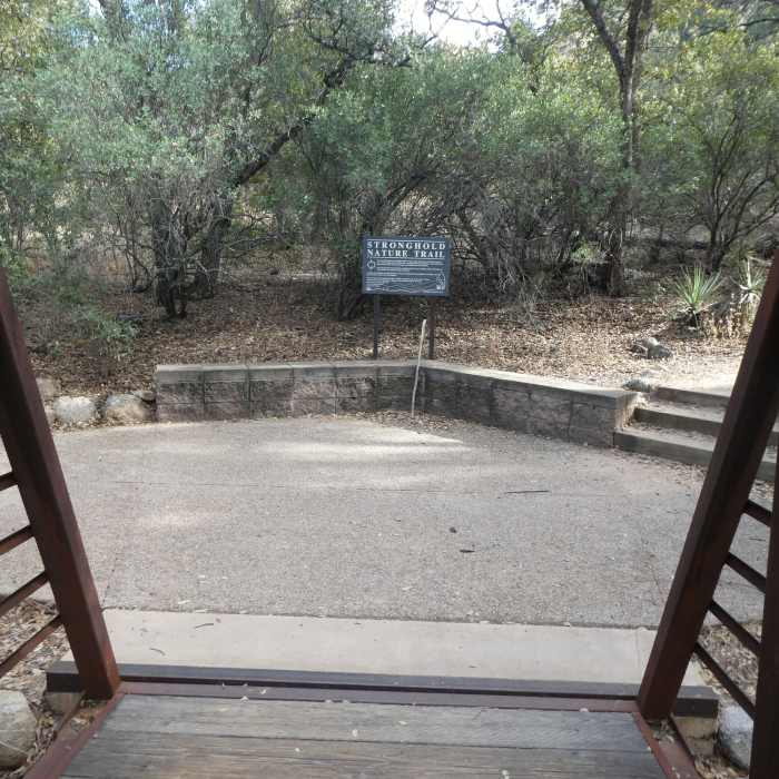
Stronghold Nature Trail
Near Cochise Stronghold Trail #279
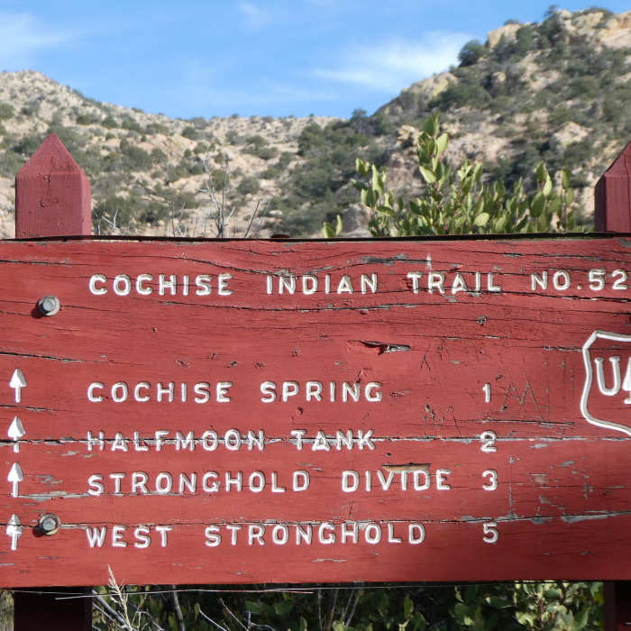
Trail junction
Near Cochise Stronghold Trail #279
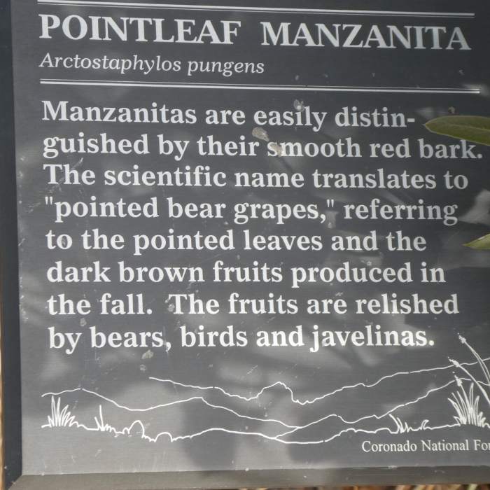
One of the many informational plaques along the trail
Near Cochise Stronghold Trail #279
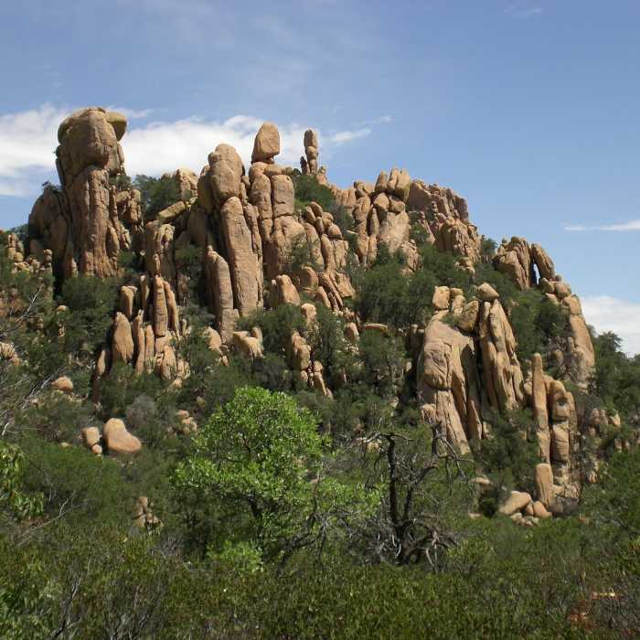
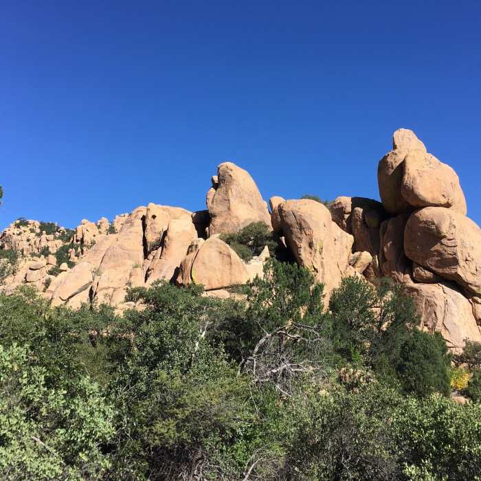
Rock formations along the trail the Cochise Stronghold Trail.
Near Cochise Stronghold Trail #279
Cochise Stronghold #279 Trail

Looking for more photos?

View All Photos
Driving Directions
Hike Trail

Cochise Stronghold Trail #279

4.6 (8 Ratings)
A remote trail through an area made famous by the Apache Chief, Cochise.
4.6
mi
Distance
1,083
ft
Gain
moderate
Difficulty
Less CrowdedViews

Route Details

Flatter
Steeper
4.65mi
Distance
1,083ft
Elevation Gain
883ft
Elevation Loss
45%
Max Grade
5,971ft
High Point
4,922ft
Low Point
Path Type
Point to Point
Description
I've always wanted to hike this and finally had the opportunity. Cochise Stronghold is about 1 hour from Tucson and well worth the drive. This is an out-and-back trail, which makes for a long day. I didn't see one person the entire time. This is great for some solitude, but not so great if you have an accident and need help. Be prepared with plenty of water. The trail is relatively easy except for the length and heat of day. The trail conditions are great and route finding easy. The trail is flanked by unique rock formations most of the way. You can see why Cochise selected this area as a basecamp. About half way, you top out at Stronghold Divide. The trail continues on downhill to East Stronghold Canyon Road. I continued down for a long out-and-back. You can easily turn back at the Pass for a shorter trip. Directions: Take Rt. 10 east toward Benson and onto Cochise. Follow sign to Pearce then to Sunsite. Take Ironwood Rd, Forest Rd 84 for about 12 miles to the Stronghold Campground.

Route Conditions

Report Conditions
No Condition Reports
Report Conditions

Nearby Hike Routes

Fairbank Loop

Hike Route

Fairbank Loop

Dogs Allowed
easy
3.94 mi
+53 ft
Ocotillo Trail

Hike Route

Ocotillo Trail

easy
3.56 mi
+445 ft
Foothills Trail

Hike Route

Foothills Trail

Views
easy
2.48 mi
+322 ft
Mountain View Point Trail

Hike Route

Mountain View Point Trail

easy
0.26 mi
+232 ft
Guindani Trail

Hike Route

Guindani Trail

easy
0.36 mi
+73 ft
Guindani/Foothills Connector

Hike Route

Guindani/Foothills Connector

easy
0.34 mi
+28 ft
Contributors
John Maurizi
