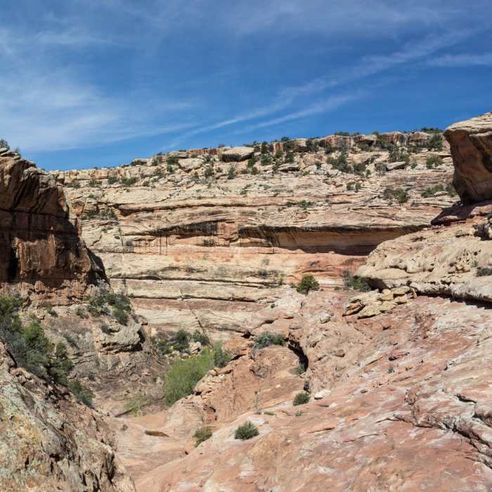
Near Bullet Canyon Trail
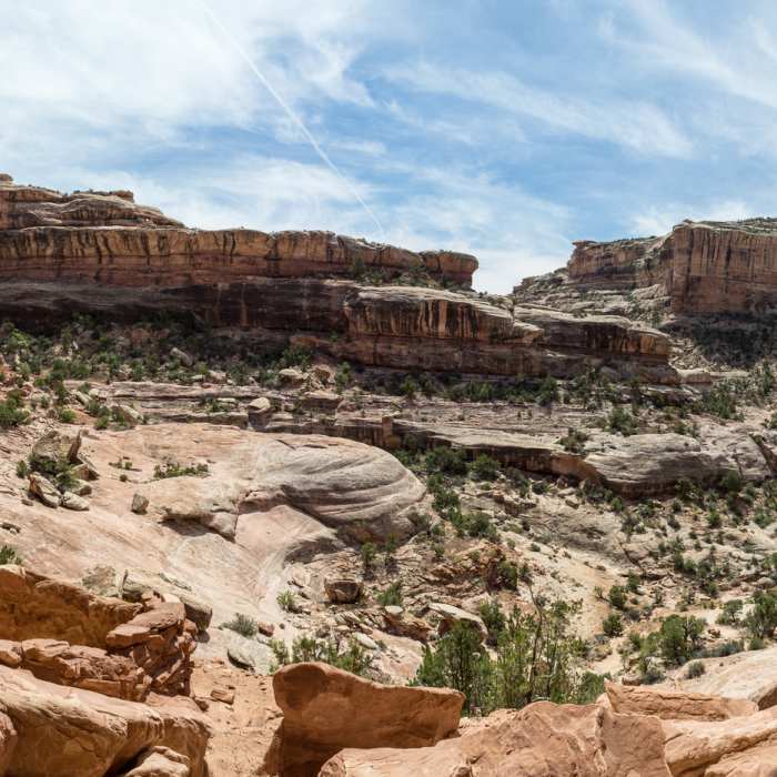
Enjoy a panoramic view from the alcove harboring Perfect Kiva.
Near Bullet Canyon Trail
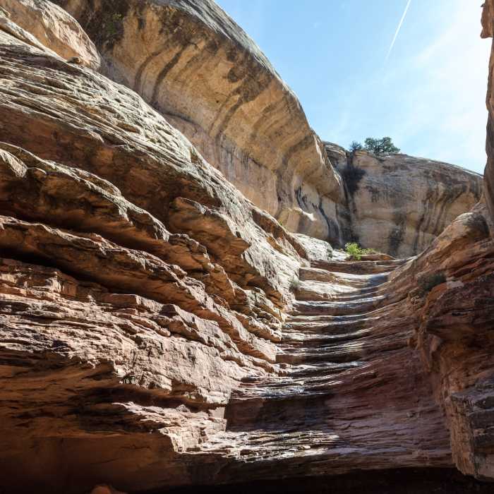
This is the slickrock chute leading to the canyon floor.
Near Bullet Canyon Trail
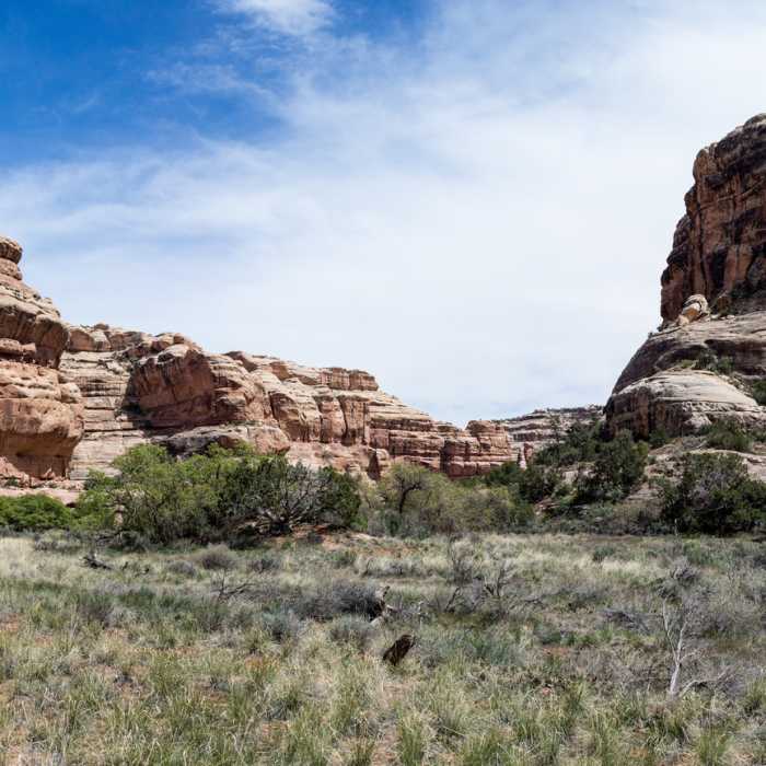
Soak up the panoramic views of Bullet Canyon while you're here.
Near Bullet Canyon Trail
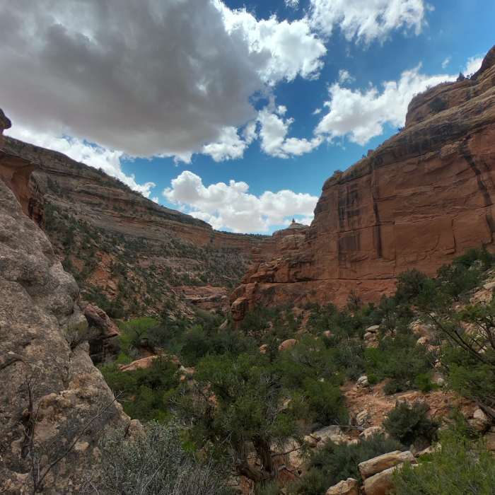
The walls of Bullet Canyon create a nice contrast with the blue desert sky.
Near Bullet Canyon Trail
The anticipation builds as we descend into Bullet Canyon.

Looking for more photos?

View All Photos
Driving Directions
Hike Trail

Bullet Canyon Trail

4.4 (7 Ratings)
Follow Bullet Canyon as it evolves into a spectacular canyon about 600 feet deep.
6.9
mi
Distance
417
ft
Gain
strenuous
Difficulty
Commonly BackpackedViews
Access Issues
Cedar Mesa permit required (available at the trailhead). Please Respect and Protect archaeological sites, they are fragile! Stay on trail, don't move artifacts, and stay off walls. Report looting and vandalism: 1 800 722 3998

Route Details

Flatter
Steeper
6.92mi
Distance
417ft
Elevation Gain
1,460ft
Elevation Loss
35%
Max Grade
6,403ft
High Point
5,358ft
Low Point
Path Type
Point to Point
Description
Bullet Canyon is a major tributary to Grand Gulch. This popular trail takes you down steep slickrock descends that can be challenging even for experienced hikers. The trail initially follows the rim of shallow Bullet Canyon and zigzags onto the canyon floor after 0.2 miles. From that point on, Bullet Canyon gradually grows deeper. At 1.4 miles you encounter several steep slickrock chutes that can be dangerous when wet. Follow the cairns on the right side. At the bottom of the chutes, the canyon walls are almost 600 feet high. The trail then mostly follows the wash, but also traverses a major slickrock ledge. After 3 miles, the trail becomes well defined and amazing amphitheaters open up on all sides offering premium scenery. Perfect Kiva, an ancient Anasazi ruin can be reached from a small side trail after about 4.5 miles. The trail then gets increasingly sandy and depending on the season you'll have to bushwhack your way through the thicket. There are several good camp sites at the confluence of Bullet Canyon and Grand Gulch.

Route Conditions

Report Conditions
No Condition Reports
Report Conditions

Nearby Hike Routes

Find more hikes near: Mexican Hat, UtahHalchita, UtahBluff, Utah
Road Canyon

Hike Route

Road Canyon

easy
1.09 mi
+0 ft
Fallen Roof Ruin

Hike Route

Fallen Roof Ruin

Family Friendly
moderate
2.67 mi
+442 ft
Kane Gulch to Junction & Turkey Pen Ruins

Hike Route

Kane Gulch to Junction & Turkey Pen Ruins

Family Friendly
strenuous
8.16 mi
+684 ft
Fish and Owl Canyon Loop Route

Hike Route

Fish and Owl Canyon Loop Route

Commonly Backpacked
strenuous
15.51 mi
+2,003 ft
Moon House Ruins

Hike Route

Moon House Ruins

River/Creek
moderate
2.92 mi
+218 ft
Owachomo Bridge Out and Back

Hike Route

Owachomo Bridge Out and Back

Family Friendly
moderate
0.52 mi
+174 ft
Contributors
Tilman Giese
