Near Trail 10
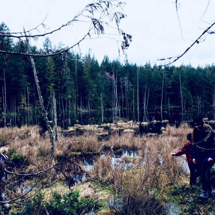
As you can see this is a very swamp like lake.
Near Trail 10
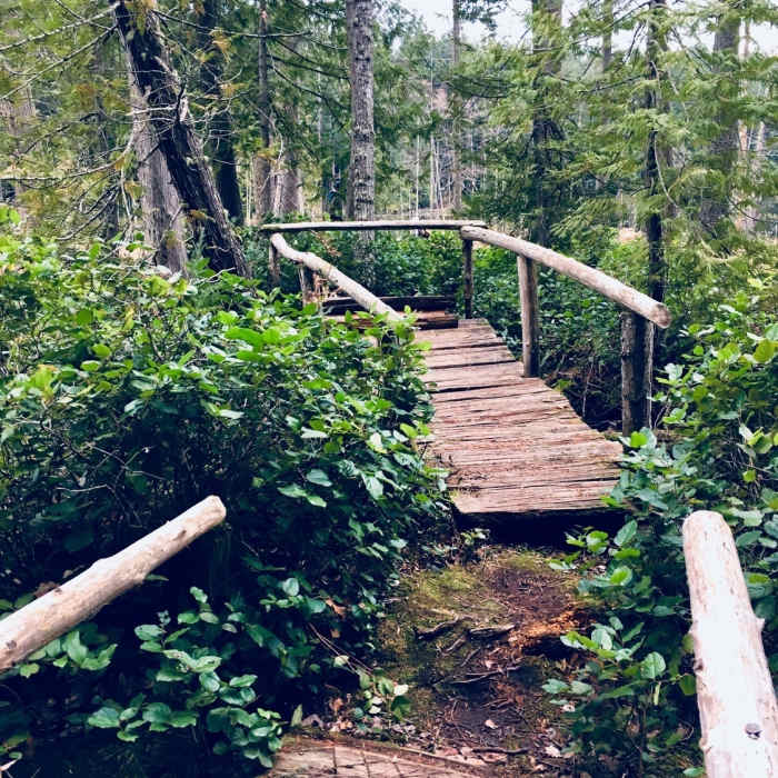
The bridge and viewpoint.
Near Trail 10
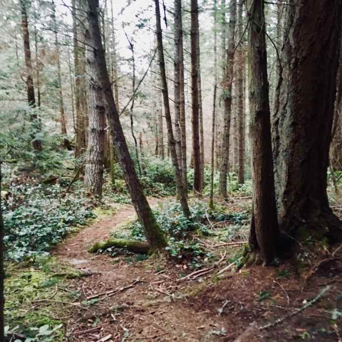
The trail going through the trees.
Near Trail 10
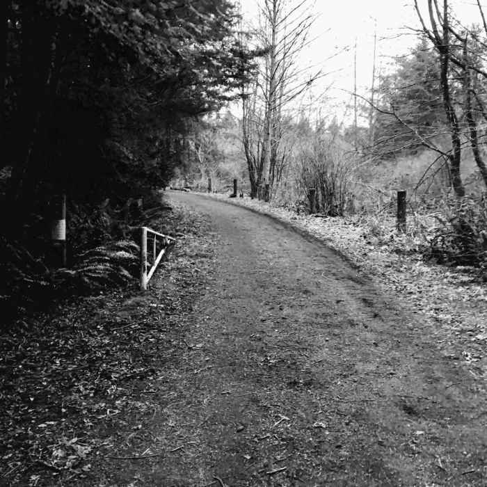
Trail 10.
Near Trail 10
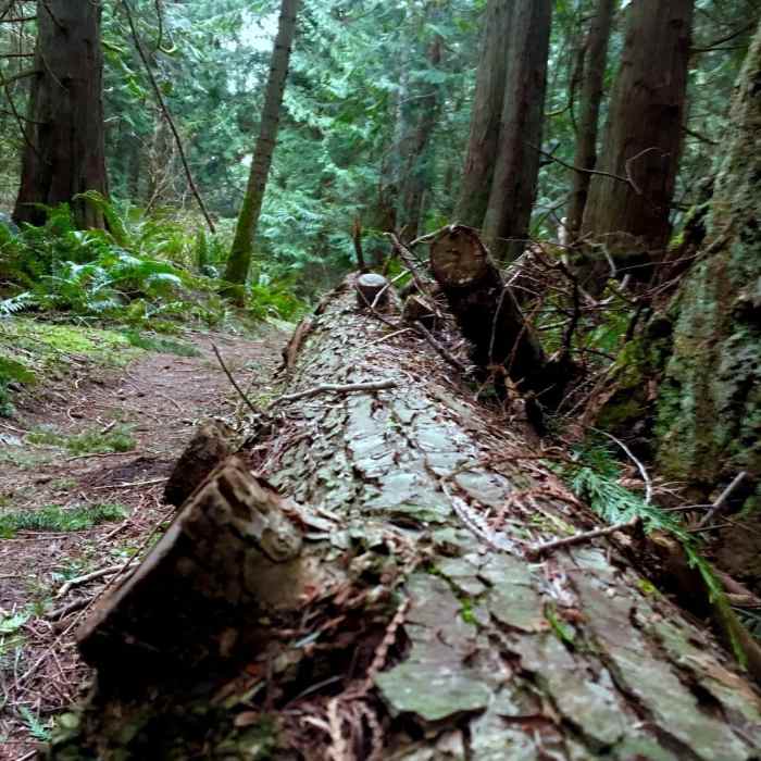
A downed tree bordering the trail.

Looking for more photos?

View All Photos
View Map
Driving Directions
Hike Trail

Trail 10

3.0 (1 Rating)
A chill trail that follows an access road.
1.5
mi
Distance
136
ft
Gain
easy
Difficulty
Fall ColorsFamily FriendlyLakeSpringViewsWildlife
Access Issues
Closes at dusk.

Route Details

Flatter
Steeper
1.53mi
Distance
136ft
Elevation Gain
104ft
Elevation Loss
15%
Max Grade
362ft
High Point
282ft
Low Point
Path Type
Point to Point
Description
Start from the parking lot that is just south of the intersection with A Ave and 37th Street. On the west end of the parking, you'll see a white gate; go around it. The trail is very easy to follow, its a wide flat doubletrack, you might even call it a road. There are a few trail junctions along the way, just stay on the main road. About 1.3 miles along you'll come to a "Y" in the trail; keep right. Along this trail you'll pass Mitten Pond and Big Beaver Pond. After a while you'll come to the end of the trail which ends just southeast of Little Cranberry Lake.

Route Conditions

Report Conditions
Anonymous Adventurer
All Clear
Looking for more condition reports?
View History

Nearby Hike Routes

Pacific Northwest National Scenic Trail Section 12

Hike Route

Pacific Northwest National Scenic Trail Section 12

Less Crowded
extreme
51.37 mi
+3,801 ft
Mount Erie Summit

Hike Route

Mount Erie Summit

Birding
strenuous
3.65 mi
+1,209 ft
Whistle Lake Loop

Hike Route

Whistle Lake Loop

Birding
moderate
3.57 mi
+421 ft
5 Wonders Trail

Hike Route

5 Wonders Trail

Birding
moderate
3.99 mi
+987 ft
Rosario to the Points and Back

Hike Route

Rosario to the Points and Back

Birding
moderate
4.23 mi
+792 ft
PNNST: Deception Pass Alternate Route

Hike Route

PNNST: Deception Pass Alternate Route

Birding
moderate
8.28 mi
+412 ft
Contributors
Isaac Bozeman
