Ready to explore this trail?
View Trail Map in App7am - Dark
Path Type
Point to Point
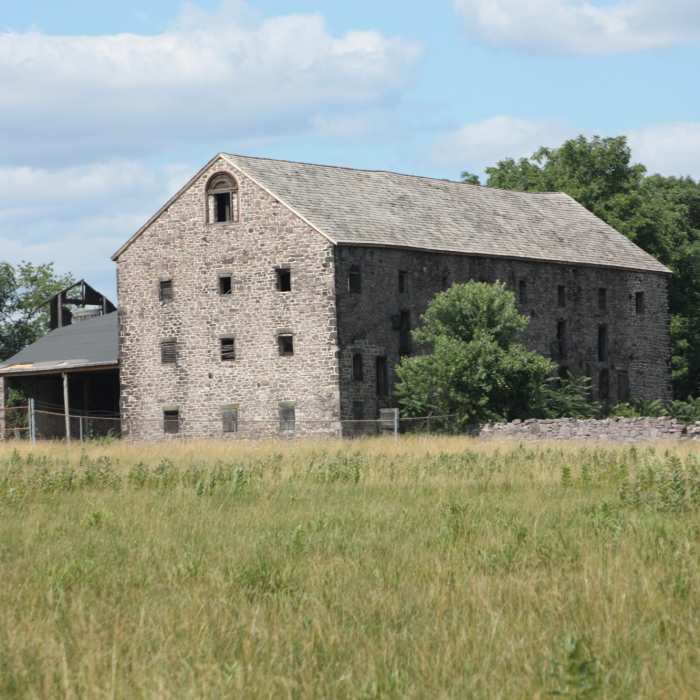
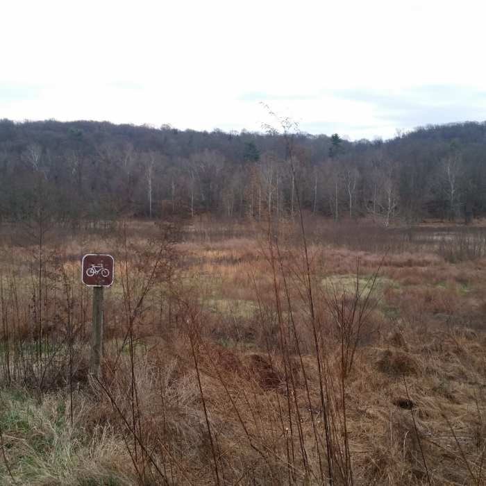
This trail runs between the River Trail Trailhead parking area, past the Walnut Hill Barn and Walnut Hill Desilting Basin, through some wetlands, and reconnects with the River Trail.
From the parking area at the River Trail, follow the River Trail briefly and look for a trail to the left. Follow this path to the left until it connects to a gravel road, which will be marked with 2 yellow bollards. Turn right on the gravel road. Next up on your right is the entrance to a trail on top of the impoundment. This is part of the Walnut Hill Desilting Basin trail. Ignore it for now and continue on the gravel road.
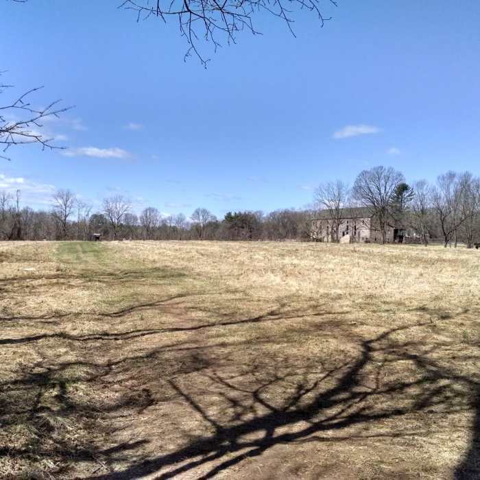
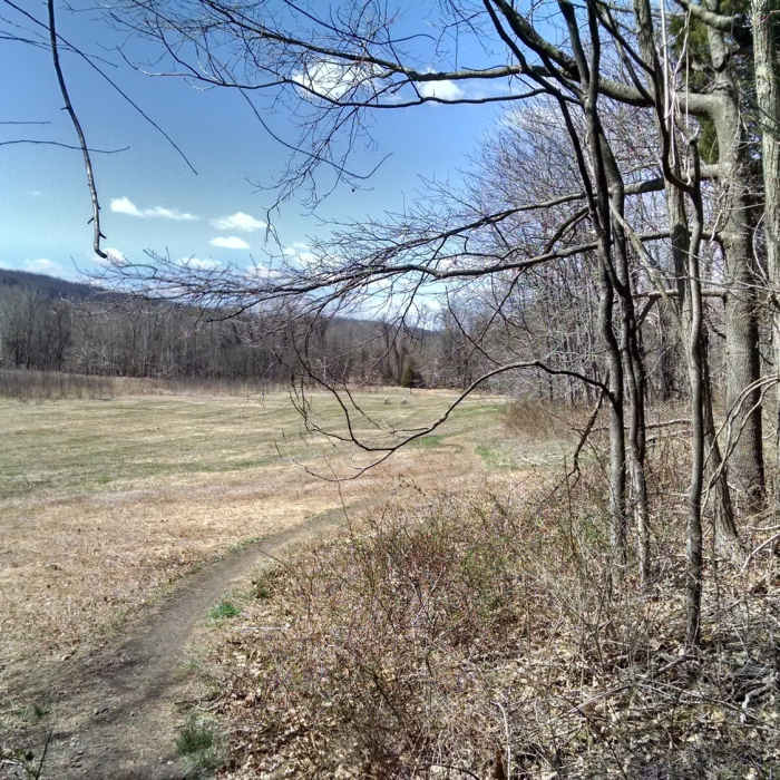
Continue through the gate and follow the road to the left. As you clear the treeline to your right, there will be a trailhead sign on the right and parking on the left. You may wish to just park here and skip the gravel road section of the trail. The trail goes east into the field. A well worn path is obvious. It will turn right into the trees on the far side of the berm forming the impounding basin. From here, the path remains obvious but not as well maintained. Be aware of washout and mud. The trail will cross a bridge before turning right and reconnecting with the River Trail, which makes for a very pleasant loop.
An optional extension of this trail follows the power line cut until another connector allows you to turn right to the River Trail or left to the Schuylkill River Trail - Pawlings to Betzwood.
No Condition Reports
Contributors

