Ready to explore this trail?
View Trail Map in AppPath Type
Point to Point
The Ravine Trail is surely one of the most enchanting and peaceful of all our trails. It was created in cooperation with the former Bridgeport Hydraulic Company through whose hemlock woods most of it winds.
After a short access off Deer Hill Road in the subdivision known as Deer Park, the trail enters the woods, crossing a high rock ledge above a wooded gully and then descending to join a well-worn horse trail. Bear left here with the white blazes and you are on the Ravine Trail. Tussock Bog, so-called because of the marsh's dominant sedge, is a Land Trust property and is to the right.
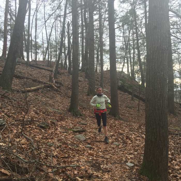
After a short distance in mixed woods, the Ravine Trail takes a sharp right to plunge into a hemlock forest where the loudest sound, in summer, is the liquid song of the wood thrush. The trail runs varying distances from the crest of the deep ravine on the left, eventually leaving it to descend to an abandoned wood road, which terminates on Route 53 just east of the old Glen causeway.
A short jaunt across the causeway will take you to the start of the Reservoir Trail into Weston.
No Condition Reports
Contributors

