Ready to explore this trail?
View Trail Map in AppPath Type
Point to Point
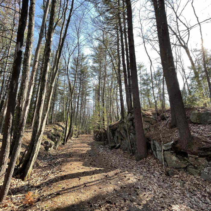
From the Town of Amherst Website "The B & M Trail is named for the Boston & Maine RR which constructed this short-lived branch line to preclude another corporation from capturing the Amherst and Milford market. The trail offers a level walking or XC skiing experience nearly unique in Amherst.
It shows the efforts railroad constructors had to muster even in these flat lands. Part of this right of way is on privately owned land, and the trail has been closed off at about the 1 mile mark. The trail can only be entered now from the north end. The north end is on Walnut Hill Road near the junction with Clark Island Road where limited parking is possible."
No Condition Reports
Loop Trail
Loop Trail
Purgatory Falls Out-and-Back
Purgatory Falls Out-and-Back
Bedford Heritage Trail
Bedford Heritage Trail
Musquash Loop
Musquash Loop
Livingstong Park Loop
Livingstong Park Loop
Contributors

