Near Cedar Ridge Multiuse Trail
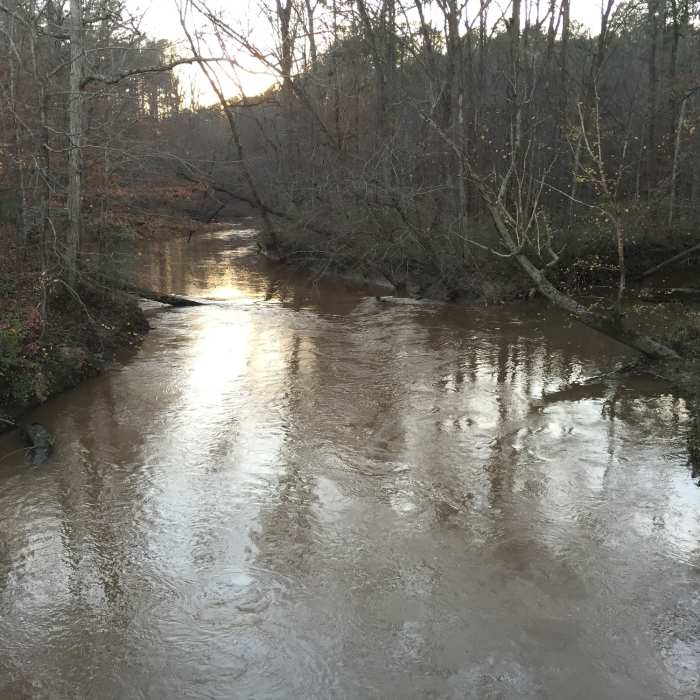
Crabtree Creek at Ebenezer Church Road Bridge
Near Cedar Ridge Multiuse Trail
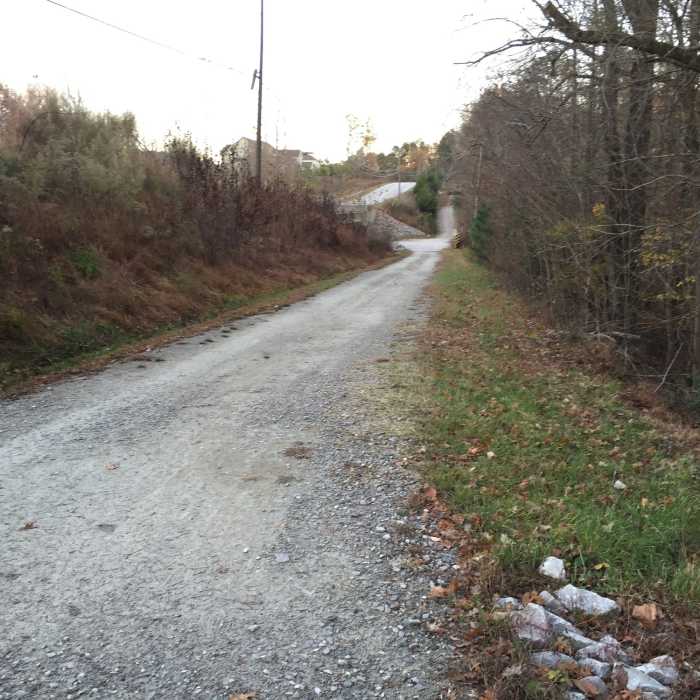
Final leg of South Turkey Creek trail after finishing Turkey Creek / Cedar Ridge loop run.
Near Cedar Ridge Multiuse Trail
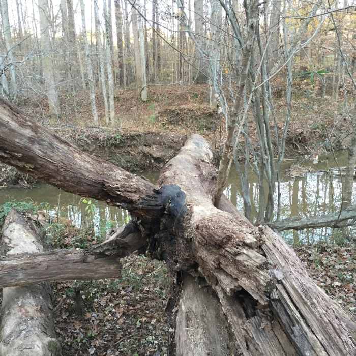
When Sycamore Creek is too high to cross on stepping stones, it is easier to bush-whack downstream and find a downed tree that spans the creek. This one is plenty wide!
Near Cedar Ridge Multiuse Trail
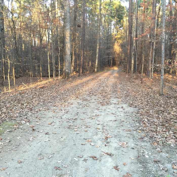
Cedar Ridge Trail in Umstead State Park.
Near Cedar Ridge Multiuse Trail
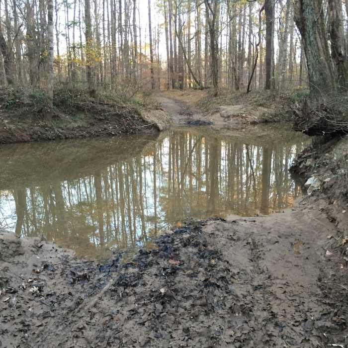
Sycamore Creek crossing on the Cedar Ridge Trail near the Ebenezer Church Road Bridge gate entrance to Umstead State Park. At lower creek flows, the creek can be crossed on stepping stones, and it is about 15 feet wide. When it is this high, it is easier to find a downed tree to cross the creek.

Looking for more photos?

View All Photos
View Map
Driving Directions
Hike Trail

Cedar Ridge Multiuse Trail

3.0 (1 Rating)
A lightly traveled, forested, moderately sloped multiuse trail in Umstead State Park.
1.5
mi
Distance
161
ft
Gain
moderate
Difficulty
BirdingFall ColorsRiver/CreekWildlife

Route Details

Flatter
Steeper
1.55mi
Distance
161ft
Elevation Gain
13ft
Elevation Loss
10%
Max Grade
398ft
High Point
230ft
Low Point
Path Type
Point to Point
Description
The Cedar Ridge Trail begins near the Ebenezer Church Road Bridge Gate to Umstead Park and provides a connection to the main Reedy Creek Multiuse Trail that traverses the park. It is a fine gravel road surface that is about doubletrack wide with a gradual ascent about 1.5 miles in length to reach the Reedy Creek MUT. At the very beginning, you'll need to cross Sycamore Creek. During low water flows, the creek can be crossed with good balance and dry feet on stepping stones; it is normally about 15 feet wide. At higher water flows, I prefer to bush-whack south to cross on one of the downed trees that currently (fall 2015) span the creek. The second tree is much wider and easier to cross on than the first tree you'll encounter during your bush-whack.

Route Conditions

Report Conditions
Anonymous Adventurer
All Clear
Anonymous Adventurer
All Clear
Looking for more condition reports?
View History

Nearby Hike Routes

Turkey Creek/Cedar Ridge Loop

Hike Route

Turkey Creek/Cedar Ridge Loop

Birding
moderate
5.01 mi
+312 ft
Company Mill Trail

Hike Route

Company Mill Trail

Birding
moderate
5.91 mi
+584 ft
Umstead Loop

Hike Route

Umstead Loop

Fall Colors
moderate
12.37 mi
+948 ft
Lake Trail

Hike Route

Lake Trail

Birding
moderate
6.08 mi
+184 ft
Lake Johnson - West Loop

Hike Route

Lake Johnson - West Loop

Fall Colors
moderate
2.75 mi
+165 ft
Bond Park Lake Loop

Hike Route

Bond Park Lake Loop

Fall Colors
moderate
3.02 mi
+152 ft
Contributors
Chris Lynch
