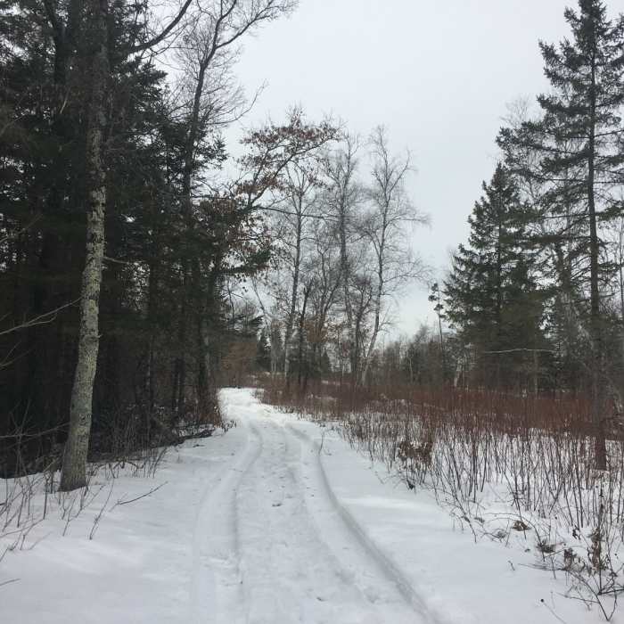
Near Bike Path
Trail in winter

Looking for more photos?

View All Photos
View Map
Driving Directions
Hike Trail

Bike Path

3.0 (1 Rating)
A paved path that follows an old burn area.
5.1
mi
Distance
30
ft
Gain
easy
Difficulty
Wildflowers

Route Details

Flatter
Steeper
5.09mi
Distance
30ft
Elevation Gain
16ft
Elevation Loss
5%
Max Grade
918ft
High Point
882ft
Low Point
Path Type
Point to Point
Description
I did this trail in the winter but assume it would be a good trail to see wildflowers. This is a paved path that is mostly flat. It is part of the St. Croix State Park hiking trail. The area it runs through is an old prescribed burn section so it is fairly bare--mostly fields with some trees.

Route Conditions

Report Conditions
Anonymous Adventurer
All Clear
Looking for more condition reports?
View History

Nearby Hike Routes

Wolf Creek Falls

Hike Route

Wolf Creek Falls

Waterfall
easy
1.76 mi
+120 ft
The Best of Banning State Park

Hike Route

The Best of Banning State Park

Birding
easy
4.51 mi
+283 ft
Hiking Club Trail

Hike Route

Hiking Club Trail

Dogs Allowed
easy
2.59 mi
+127 ft
Wetlands Loop Trail

Hike Route

Wetlands Loop Trail

Dogs Allowed
easy
1.11 mi
+0 ft
Hiking Club Trail

Hike Route

Hiking Club Trail

Dogs Allowed
easy
2.02 mi
+30 ft
Linwood School Forest Trails Loop

Hike Route

Linwood School Forest Trails Loop

Dogs Allowed
easy
3.28 mi
+63 ft
Contributors
Katie Woods
