Ready to explore this trail?
View Trail Map in AppMineral King is only open to vehicle traffic from late May to the end of October, the snow gods permitting. After that, it is only foot, ski, or snowshoe.
Path Type
Point to Point
This is one of my favorite trails that brings you onto a magnificent plateau of the Sierra Nevada. I set up my base camp at the Hockett Meadow campground and spend the next two or three days enjoying very easy day hikes.
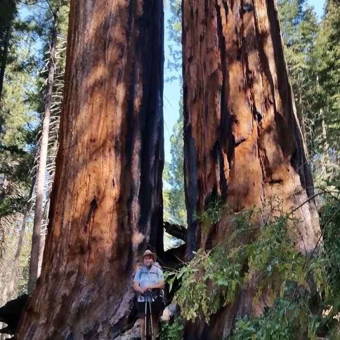
In my opinion this is a perfect first multi-day trip for new backpackers. The initial stroll through the campground to the trailhead passes through part of the Atwell Mill grove of giant sequoias which were logged in the late 19th century. Examine the huge tree stumps, some with footholds cut into them so loggers could get a better perch while logging. Within the first 100 yards of the trail, you'll pass the remains of an old steam engine that powered the sawmill.
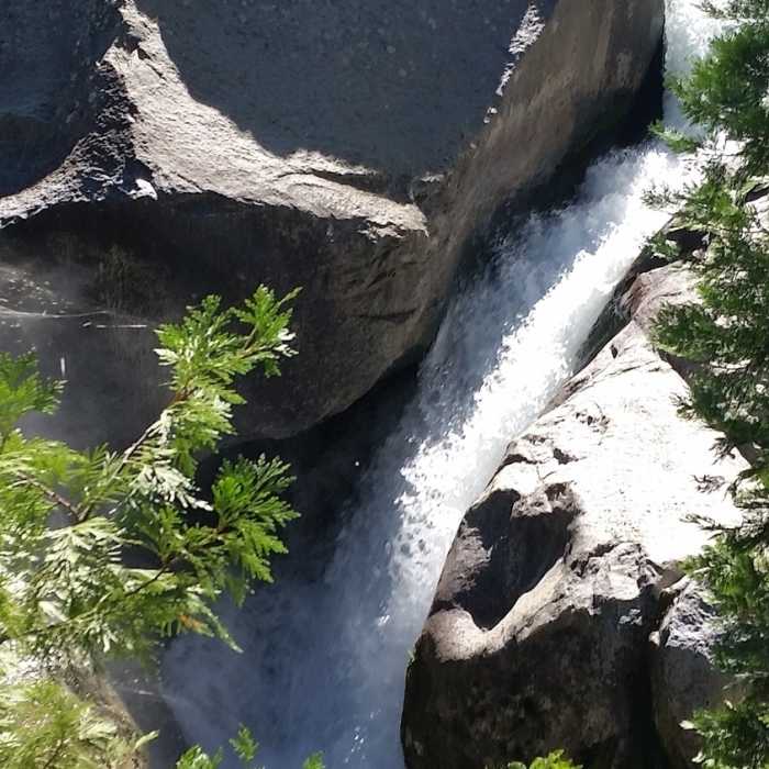
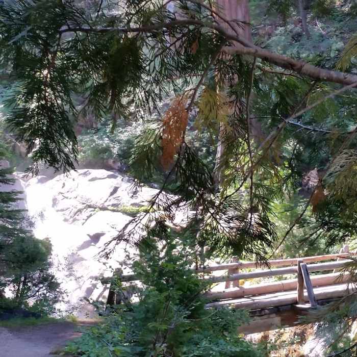
The first mile of the trail drops approximately 500 feet though ponderosa, sugar pine and giant sequoia, passing small creeks and waterfalls before reaching the bottom at the bridge crossing the East Fork of the Kaweah River at a magnificent waterfall. On a warm day, you can sit and bask in the cool mist rising from the falls.
The next eight miles is relentless uphill, not incredibly steep but sustained as the trail courses through forest and the East Grove of sequoia. There isn't much flat to stretch out your legs before the next incline. Fortunately, there is plenty of fresh water along the way. Filtering is essential as this is an active stock animal trail.
As the trail rounds the ridge away from main canyon of the east fork, you can see the twisty Mineral King access road across the canyon which follows the old mining road of the 1920s. The higher you get up the trail, the more springlike the conditions become with a wealth of mountain flowers to enjoy. Once you pass Clover and Corner Creeks, the trail becomes less steep up to the junction of the Tar Gap Trail.
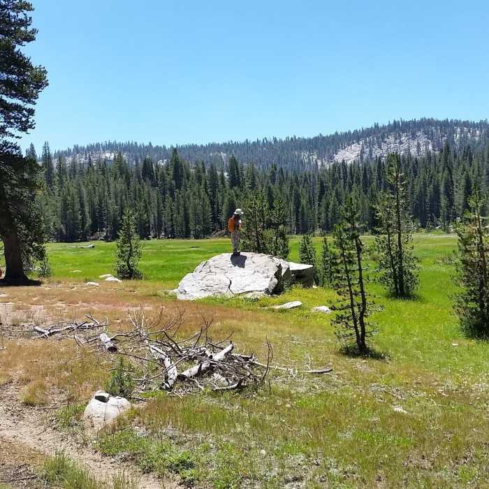
From there, another two miles or so of mild uphills and the trail becomes flat for the last mile or so until you enter Hockett Meadow. The ranger station is on the left, the public campground with good shade is along the trail to the right. Bear boxes are available and a spring fed stream is very close by to obtain water.
No Condition Reports
Glacier Pass, Sawtooth Pass + Big Five Lakes Hiking Loop
Glacier Pass, Sawtooth Pass + Big Five Lakes Hiking Loop
Contributors

