

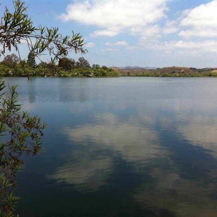


Near Lake O'Neill Loop
Just a little water.
Near Lake O'Neill Loop
Marine Volunteers leading the kids for a run.
Near Lake O'Neill Loop
View from Lake O'Neill loop.
Near Lake O'Neill Loop
Finish Line
Near Lake O'Neill Loop
Strong Finish in front of the Flag.

Looking for more photos?

View All Photos
View Map
Driving Directions
Hike Trail

Lake O'Neill Loop

4.0 (1 Rating)
A scenic loop around the lake.
2.5
mi
Distance
ft
Gain
easy
Difficulty
Lake
Access Issues
Camp Pendleton is open to active duty military, their dependents, and their guests only with the exception of Marine Corps Community Services (MCCS) sanctioned events.

Route Details

Flatter
Steeper
2.54mi
Distance
0ft
Elevation Gain
0ft
Elevation Loss
10%
Max Grade
131ft
High Point
106ft
Low Point
Path Type
Loop
Description
This is a quick loop with lots of options for offshoots and added mileage. Portions of this route are used for the Marine's physical fitness test and the World Famous Mud Run 10k Course.

Route Conditions

Report Conditions
No Condition Reports
Report Conditions

Nearby Hike Routes

Guajome County Park Loop

Hike Route

Guajome County Park Loop

Birding
moderate
3.46 mi
+169 ft
Lake Calavera Preserve Loop

Hike Route

Lake Calavera Preserve Loop

Birding
moderate
3.17 mi
+265 ft
Buena Vista Park

Hike Route

Buena Vista Park

ADA Accessible
easy
2.45 mi
+66 ft
Fisherman's Camp to Bluewater Canyon

Hike Route

Fisherman's Camp to Bluewater Canyon

Birding
strenuous
6.33 mi
+1,079 ft
Vista Grande Trail via the Boulder Loop Trail

Hike Route

Vista Grande Trail via the Boulder Loop Trail

Birding
moderate
3.83 mi
+266 ft
Santa Rosa Plateau Boundary

Hike Route

Santa Rosa Plateau Boundary

Birding
moderate
7.55 mi
+663 ft
Contributors
Jason Fincher
