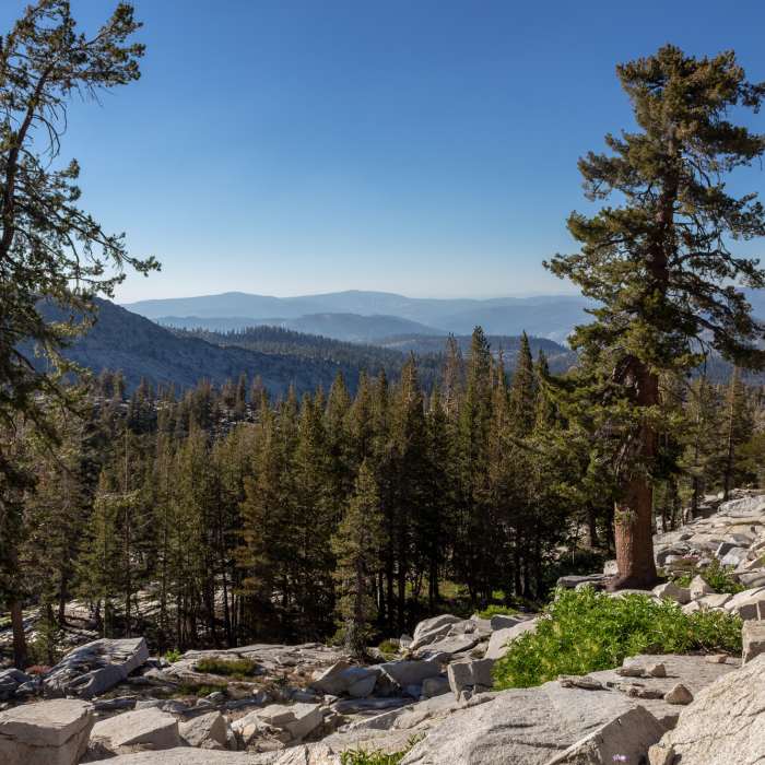
Near Royal Arch and Buena Vista Lake Trail
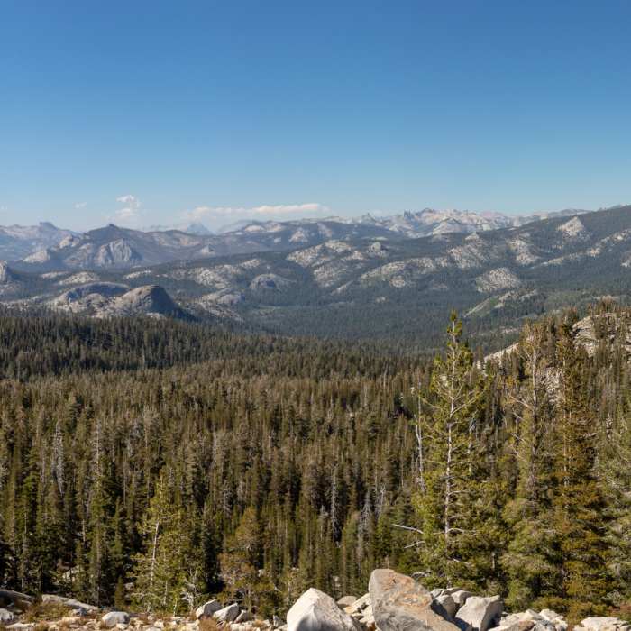
View from the Buena Vista junction across the Yosemite Wilderness
Near Royal Arch and Buena Vista Lake Trail
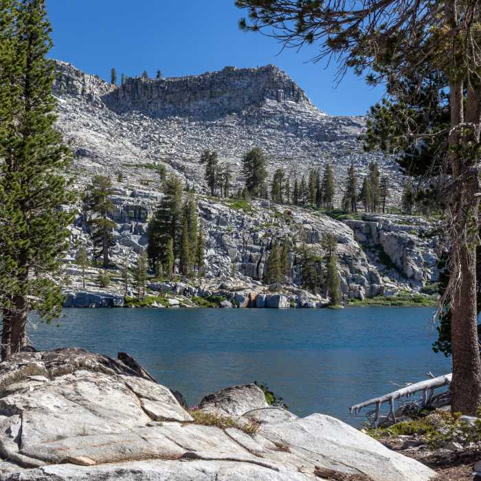
Buena Vista Lake and Buena Vista Peak
Near Royal Arch and Buena Vista Lake Trail
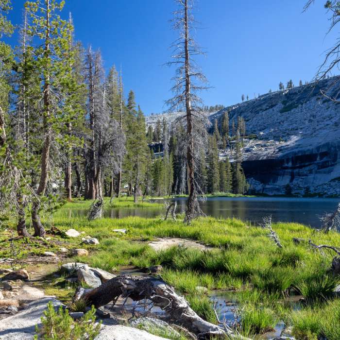
West side of Royal Arch Lake
Near Royal Arch and Buena Vista Lake Trail
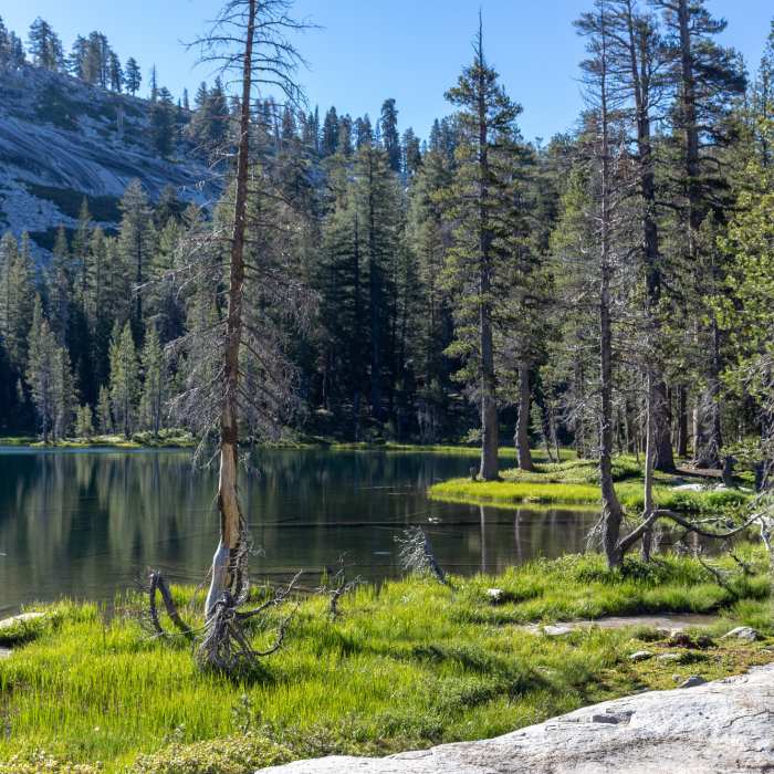
Royal Arch Lake as the sun slowly rises above the Buena Vista Crest
Near Royal Arch and Buena Vista Lake Trail
View north from the ascent up Buena Vista Pass towards Horse Ridge

Looking for more photos?

View All Photos
View Map
Driving Directions
Hike Trail

Royal Arch and Buena Vista Lake Trail

4.0 (2 Ratings)
An enjoyable hike to two stunning backcountry lakes within Yosemite Wilderness.
3.6
mi
Distance
351
ft
Gain
moderate
Difficulty
LakeRiver/CreekSwimmingViewsWildflowers

Route Details

Flatter
Steeper
3.56mi
Distance
351ft
Elevation Gain
899ft
Elevation Loss
25%
Max Grade
9,345ft
High Point
8,475ft
Low Point
Path Type
Point to Point
Description
This trail climbs to the Buena Vista Crest and passes two impressive backcountry lakes. The first 2.5 miles of the hike are steady uphill through meadows and lodgepole pine forest. Royal Arch Lake is the first highlight after about 0.7 miles. The lake got its name from the arches in the massive granite wall that frames the lake on the northeast side. Huge granite slabs have peeled away and revealed several onion-like layers that make up the arches. The lake is surrounded by green meadows. Since the lakeshore is very fragile, make sure to camp far enough away. Wildflower meadows and pine forest keep alternating as you continue to ascend to the Buena Vista Pass. The pass itself is very anticlimactic, but as you descend towards Buena Vista Lake, you get a few good views north towards Horse Ridge and Buena Vista Peak to your very left. Soon enough, Buena Vista Lake appears right below you. The lake is framed with barren granite on the south side. The water is stunningly blue. Hop across the Buena Vista Creek outlet and get direct access to the lake. Camping spots at a safe distance from the lake are abundant. From the lake, it's a short descent to reach the Buena Vista junction. Continue left to the Chilnualna lakes or right to Mount Starr King.

Route Conditions

Report Conditions
No Condition Reports
Report Conditions

Nearby Hike Routes

Mono Meadow Sampler

Hike Route

Mono Meadow Sampler

Birding
moderate
5.75 mi
+1,285 ft
Chilnualna Falls Out and Back

Hike Route

Chilnualna Falls Out and Back

River/Creek
strenuous
7.89 mi
+2,217 ft
Sentinel Dome

Hike Route

Sentinel Dome

Family Friendly
moderate
2.2 mi
+499 ft
Taft Point

Hike Route

Taft Point

Birding
moderate
2.37 mi
+388 ft
Sentinel Dome - Taft Point Loop

Hike Route

Sentinel Dome - Taft Point Loop

Birding
moderate
5.08 mi
+1,172 ft
Rutherford and Anne Lakes

Hike Route

Rutherford and Anne Lakes

Commonly Backpacked
strenuous
1.69 mi
+439 ft
Contributors
Tilman Giese
