Ready to explore this trail?
View Trail Map in AppThe trail ends at private property. The boundary is marked with a brown Carsonite post, so please respect it and do not trespass. This trail is out and back only, you can't make a loop without going on private property. Parking at the trailhead is very limited, and you have to be careful to not block the driveways to private houses that are on either side of the small parking area. Horses and mountain bikes are not allowed on the trail.
Path Type
Point to Point
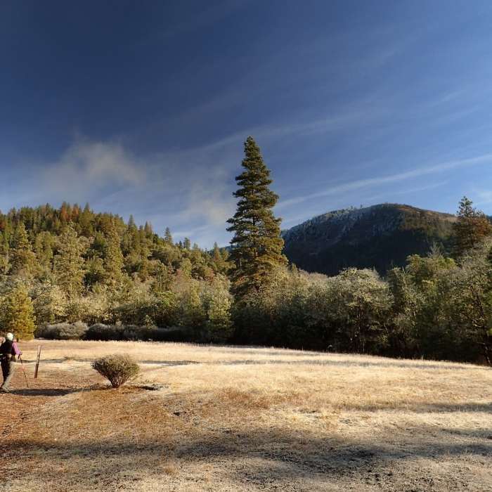
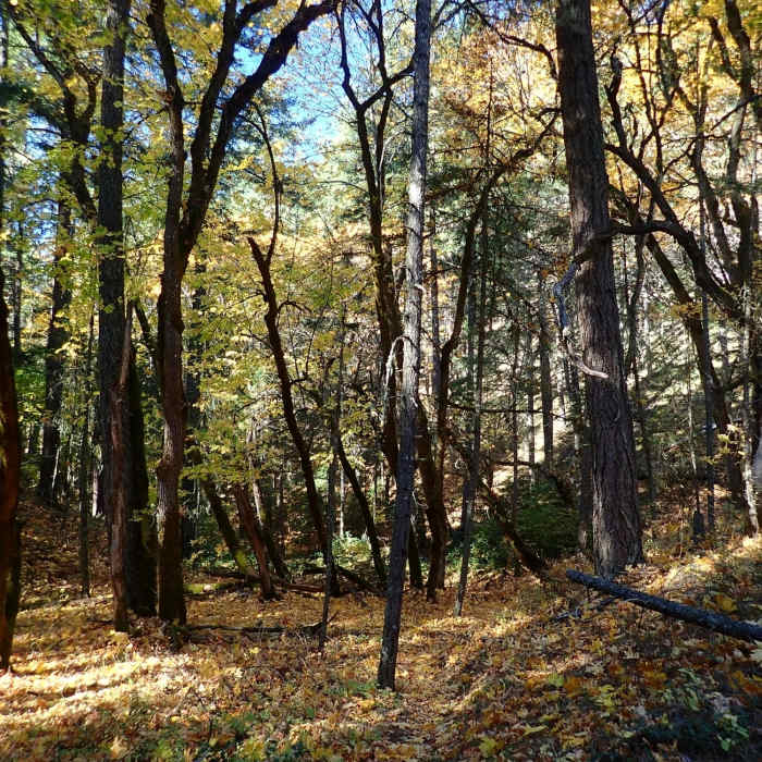
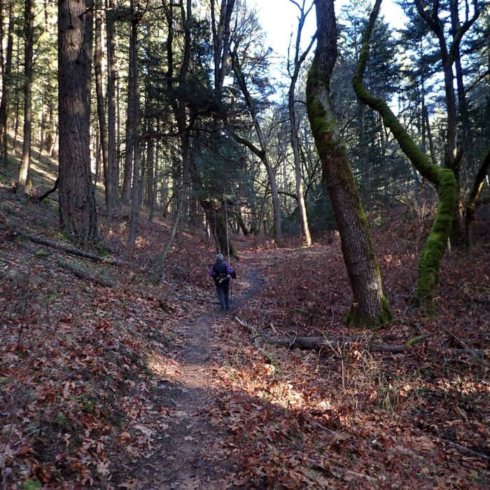
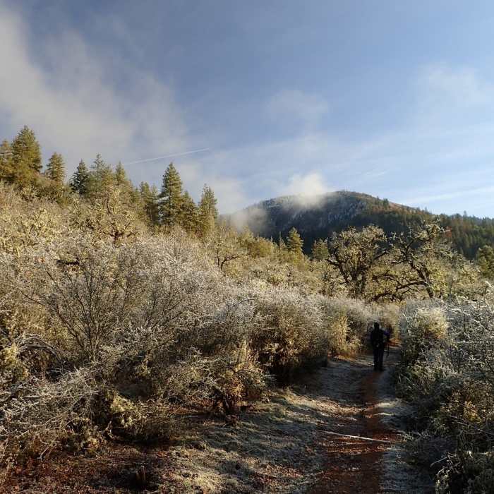
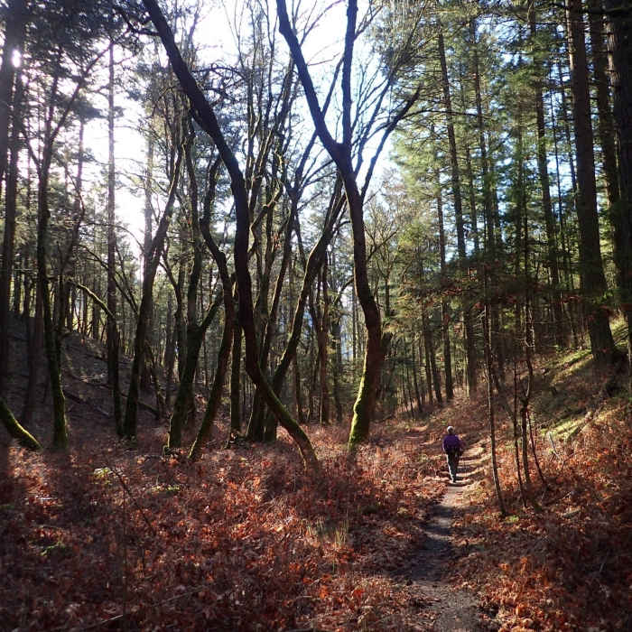
The trail is maintained by the Bureau of Land Management (BLM) and is accessible year round. The Enchanted Forest Trail starts from a very small parking area at the end of Slagle Creek Road in the Applegate Valley, about 20 miles west of Medford, Oregon. From the trailhead, the trail (actually an old road here) passes a large meadow and traverses a slope thick with buckbrush and twisted oaks before entering the creek drainage. An old car body signals the end of the old road and the start of a singletrack trail up the drainage under a tall forest canopy.
At 0.5 miles from the trailhead, you pass a signed junction with the Felton Memorial Trail, a 1.5 mile long trail that leads to a memorial for three men who perished when their helicopter crashed near the terminus of the trail. The Enchanted Forest Trail continues up the drainage until, at 1.6 miles from the trailhead, it turns sharply west and climbs to the ridgecrest, where it ends at a private property boundary. A short stroll southwest along the ridge will provide a limited view of the Applegate Valley. It is possible to continue upslope from here on an old road but doing so would cause you to trespass on private land. Best to turn around here and enjoy another pass through the forest.
All Clear
All Clear
All Clear
Looking for more condition reports?
Contributors

