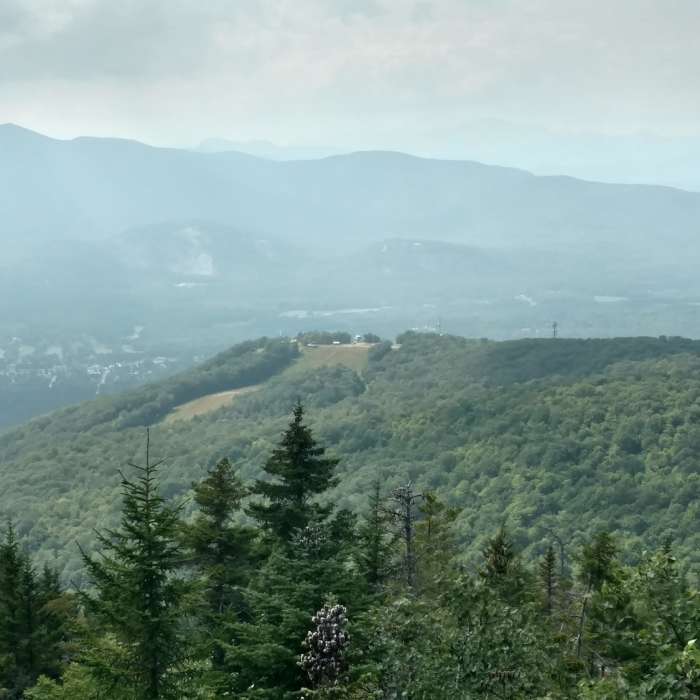
Near Black Cap Connector
Summit of Black Cap
Near Black Cap Connector
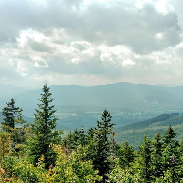
Vew from a spot just below the summit marker on the Red Trail.
Near Black Cap Connector
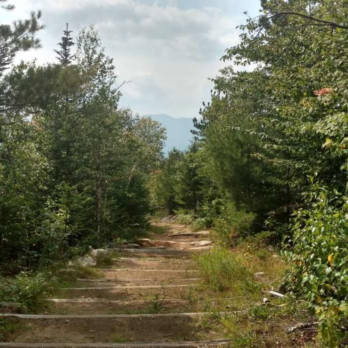
Black Cap "Spur" Path, connects back to main trail
Near Black Cap Connector
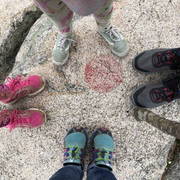
The summit marker
Near Black Cap Connector
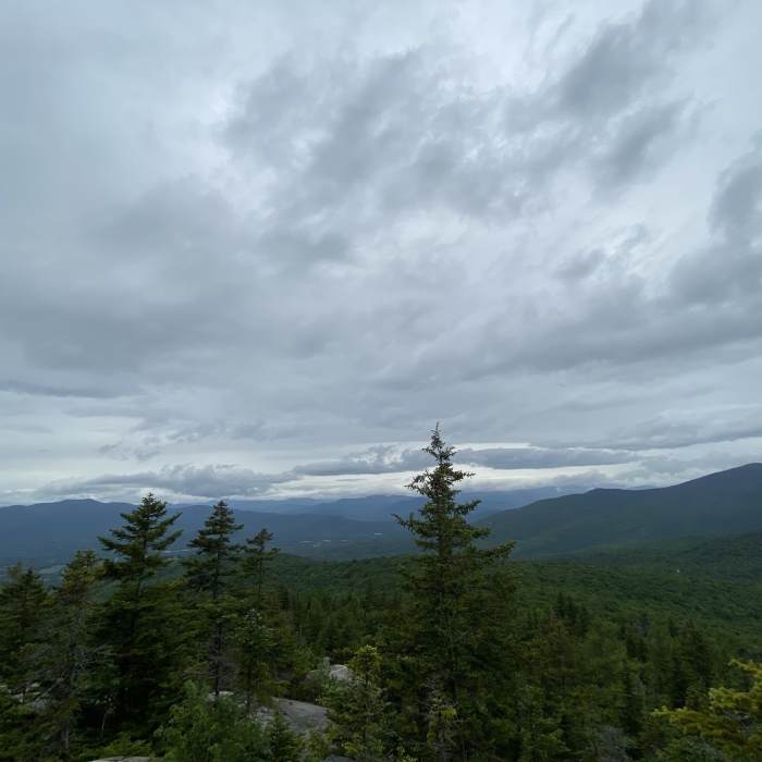
Peak of Cranmore Mountain as seen from Black Cap.

Looking for more photos?

View All Photos
View Map
Driving Directions
Hike Trail
Buy NowView in 3D

Black Cap Connector

4.5 (2 Ratings)
A great trail from Black Cap that ends at the Stick and Stones kiosk.
3.8
mi
Distance
122
ft
Gain
strenuous
Difficulty

Route Details

Flatter
Steeper
3.84mi
Distance
122ft
Elevation Gain
1,824ft
Elevation Loss
25%
Max Grade
2,251ft
High Point
549ft
Low Point
Path Type
Point to Point
Description
This trail follows a ridgeline and, from the top, has several tough, rocky downhill sections. Continuing further, the trail has a few short climbs before continuing the general descent. The trail is mostly all downhill toward the end and it can have lots of loose rocks and wet areas.

Route Conditions

Report Conditions
No Condition Reports
Report Conditions

Nearby Hike Routes

Black Cap Trail

Hike Route

Black Cap Trail

Birding
moderate
2.49 mi
+660 ft
Mount Kearsarge North Trail

Hike Route

Mount Kearsarge North Trail

River/Creek
strenuous
5.69 mi
+2,578 ft
Echo Lake Trail

Hike Route

Echo Lake Trail

Birding
easy
0.85 mi
+15 ft
Diana's Bath Out and Back

Hike Route

Diana's Bath Out and Back

Fall Colors
easy
1.05 mi
+70 ft
Boulder Loop Trail

Hike Route

Boulder Loop Trail

Fall Colors
moderate
2.83 mi
+942 ft
Three Sisters Loop to Mount Chocorua

Hike Route

Three Sisters Loop to Mount Chocorua

Less Crowded
strenuous
9.5 mi
+3,467 ft
Contributors
Lloyd Blizzard
