
Ready to explore this trail?
View Trail Map in AppPath Type
Point to Point
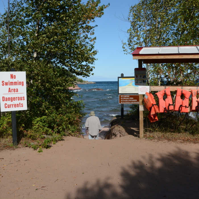
A large gravel parking area allows access to this trail. A self-registration kiosk at the east end of the parking lot allows you to register and pay the fee when applicable. The first half of the trail is an old forest road so it's wide, flat, and super easy. You'll pass the NCT trail and then enter the dunes area. You'll come to an area with a number of warnings about the dangerous currents and flotation devices to use in an emergency. A clear route drops down to the beach at the point. A big step down is required and the sand is deep here.
No Condition Reports
Wetmore Shoreline Trail
Wetmore Shoreline Trail
Sugarloaf Mountain
Sugarloaf Mountain
Hogback Mountain
Hogback Mountain
Sugarloaf Mountain - Easy Trail
Sugarloaf Mountain - Easy Trail
Morgan Falls Hike
Morgan Falls Hike
Hike to Yellow Dog Falls
Hike to Yellow Dog Falls
Contributors

