Ready to explore this trail?
View Trail Map in AppPath Type
Point to Point
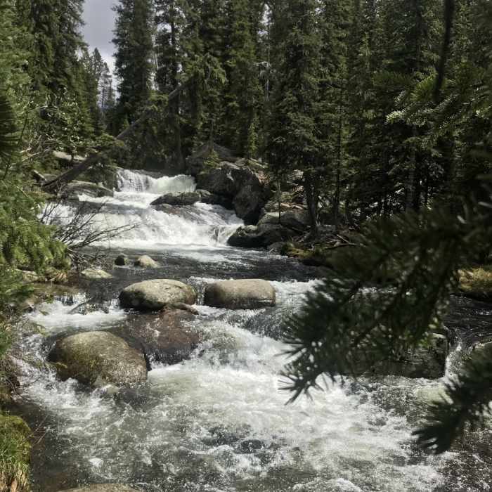
The trail starts out going through dense sections of trees, climbing a slight incline. About a mile and a quarter in, you reach the creek where a smaller waterfall can be seen.
From the waterfall, you'll pass through more wooded areas for another mile or so. Then you'll drop down through a steep section of switchbacks and finally come into a significant clearing. There will be a couple creek crossings on this hike.
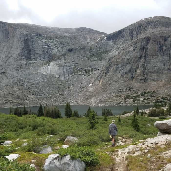
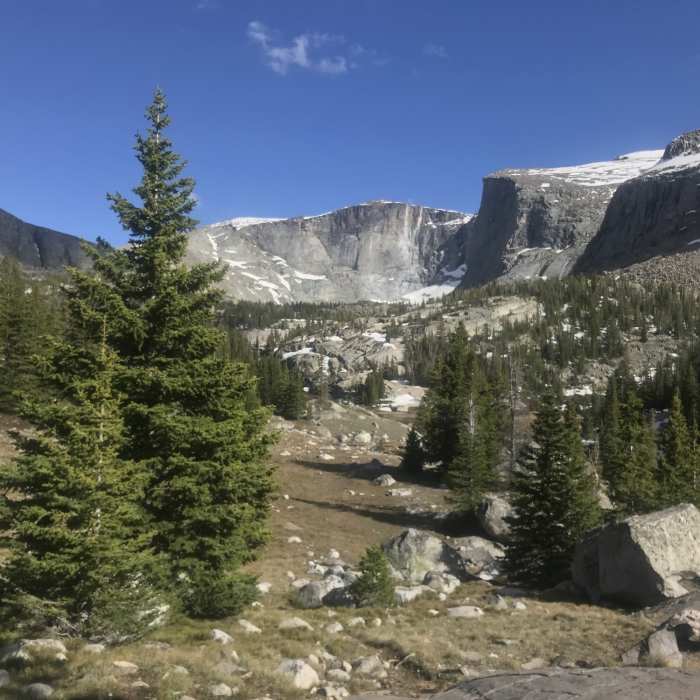
Trail follows the creek in a lot of areas and then turns to steep, rocky sections, to wooded areas and back to meadows near the creek again. The last mile or so is rocky and steep as you get closer to the lakes.
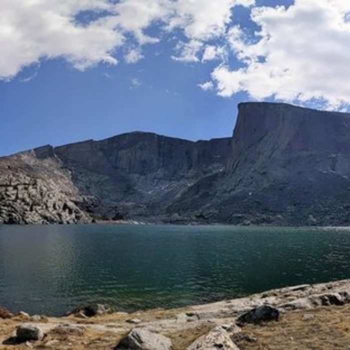
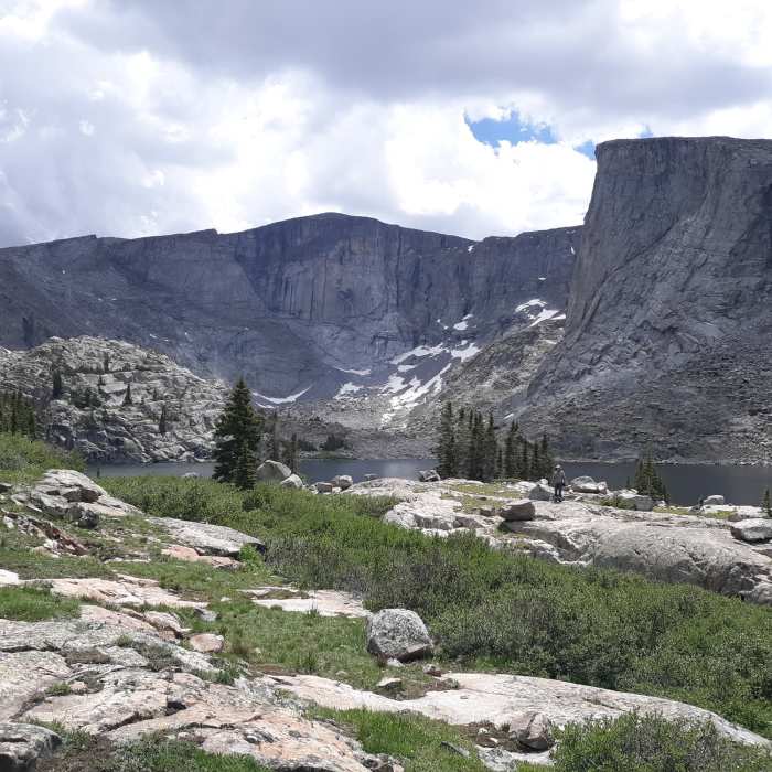
The trail ends at Lost Twin Lakes.
All Clear
Tons of mosquitoes, bring plenty of bug spray. Several muddy sections but nothing too deep.
All Clear
Some Issues
Looking for more condition reports?
Contributors

