Near Shell Bench Trail #184
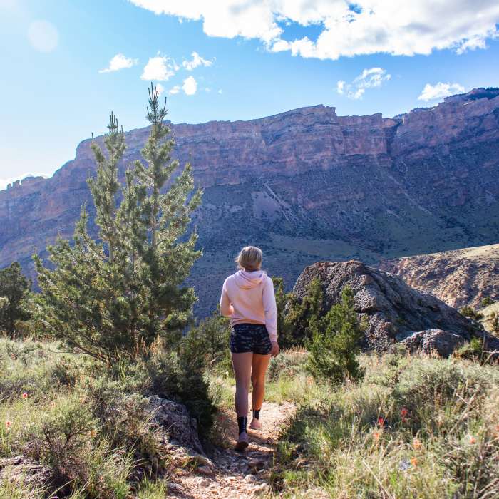
Looking to the northwest side of Shell Canyon from the end of the Shell Bench Trail.
Near Shell Bench Trail #184
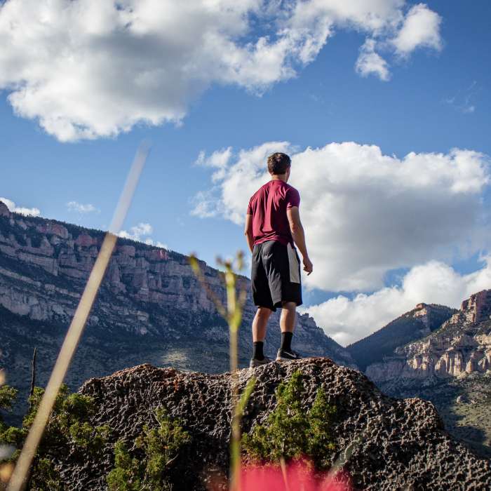
The rim of Shell Canyon looking southwest. This trail features some of the most diverse terrain Wyoming has to offer, with high alpine forests, mid-mountain ponderosa forests, steep canyon walls, and low desert landscapes.
Near Shell Bench Trail #184
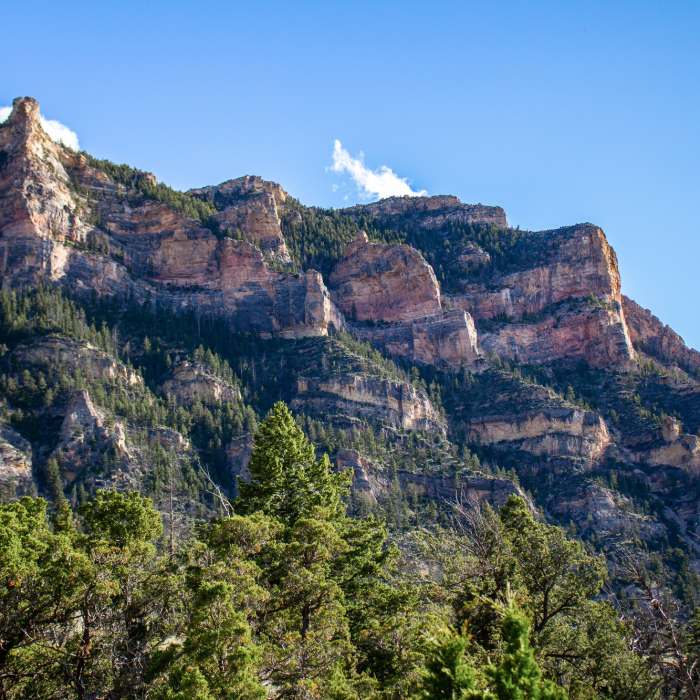
Looking west towards high Bighorn Dolomite peaks above Shell Canyon and the Bighorn Scenic Byway.
Near Shell Bench Trail #184
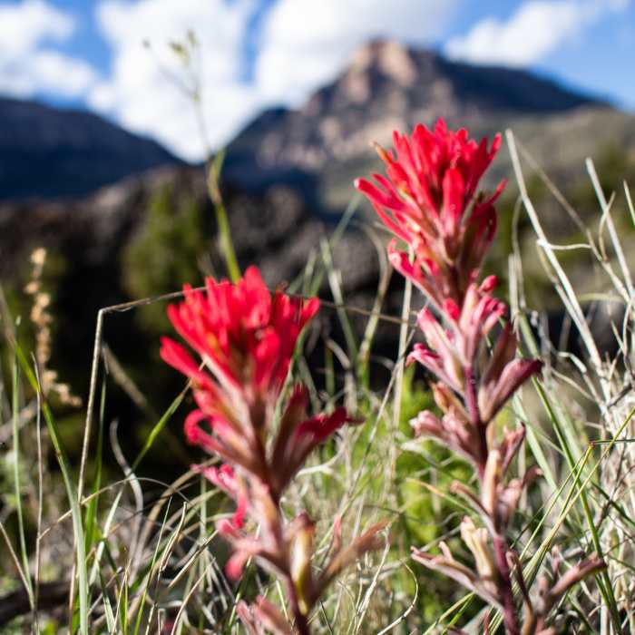
Bighorn wildflowers along the Shell Bench Trail.

Looking for more photos?

View All Photos
View Map
Driving Directions
Hike Trail

Shell Bench Trail #184

4.7 (3 Ratings)
A nice hike that moves from alpine forest to desert canyon: a great way to experience Shell Canyon!
10.1
mi
Distance
556
ft
Gain
strenuous
Difficulty

Route Details

Flatter
Steeper
10.15mi
Distance
556ft
Elevation Gain
3,143ft
Elevation Loss
30%
Max Grade
7,820ft
High Point
5,088ft
Low Point
Path Type
Point to Point
Description
This is considered to be one of the better hikes in the Bighorns as the trail moves from a fun forest section to a fast and steep canyon descent. As of late, the trail is a little dirty with loose rock but more hikers will clean it up. This is a fun hike and a great way to experience Shell Canyon, Ten Sleep Canyon's long-forgotten sibling. For the best experience, plan to ride this as a point-to-point. Start by leaving a vehicle at the Post Creek Parking Area off of Highway 14 and then drive another vehicle to the Adelaide TH off of Ranger Creek Road.

Route Conditions

Report Conditions
No Condition Reports
Report Conditions

Nearby Hike Routes

Geneva Lake

Hike Route

Geneva Lake

Birding
moderate
8.61 mi
+885 ft
Elsa/Spear Lake Loop

Hike Route

Elsa/Spear Lake Loop

Commonly Backpacked
strenuous
25.79 mi
+6,318 ft
Black Mountain Lookout

Hike Route

Black Mountain Lookout

Birding
strenuous
3.87 mi
+1,132 ft
Red Grade Trail System Loop

Hike Route

Red Grade Trail System Loop

Family Friendly
moderate
1.77 mi
+249 ft
Tongue River Point-to-Point

Hike Route

Tongue River Point-to-Point

River/Creek
strenuous
9.03 mi
+509 ft
Cloud Peak Out-and-Back

Hike Route

Cloud Peak Out-and-Back

Commonly Backpacked
strenuous
22.77 mi
+5,468 ft
Contributors
Laine Parish
