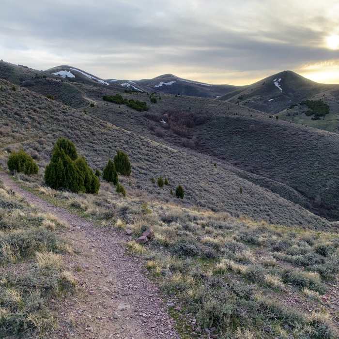
Near Switchback
Watching the sunset on switchback in the early spring.
Near Switchback
Coming back around the hill.

Looking for more photos?

View All Photos
Driving Directions
Hike Trail

Switchback

4.0 (1 Rating)
A steady climb that connects White Carin to Black Carin.
1.5
mi
Distance
341
ft
Gain
moderate
Difficulty

Route Details

Flatter
Steeper
1.52mi
Distance
341ft
Elevation Gain
204ft
Elevation Loss
30%
Max Grade
5,318ft
High Point
4,990ft
Low Point
Path Type
Point to Point
Description
This singletrack switches back and forth up a hill on the Black Carin side - thus the name. Once you've conquered the winding climb, the trail then follows along the side of the hill and wraps around to tie you into White Cairn. The trail is mostly exposed and passes through one mildly rocky section about halfway.

Route Conditions

Report Conditions
No Condition Reports
Report Conditions

Nearby Hike Routes

Lower and Upper City Creek

Hike Route

Lower and Upper City Creek

Less Crowded
moderate
5.69 mi
+865 ft
Good Enough Mormon Loop

Hike Route

Good Enough Mormon Loop

Birding
strenuous
12.43 mi
+3,562 ft
Wolverine Road: Narrows to W's Divide and Back

Hike Route

Wolverine Road: Narrows to W's Divide and Back

Birding
moderate
15.75 mi
+2,004 ft
Hell's Half Acre

Hike Route

Hell's Half Acre

Birding
strenuous
9.95 mi
+335 ft
Bloomington Peak Hike

Hike Route

Bloomington Peak Hike

Views
easy
0.88 mi
+1,258 ft
Bloomington Lake

Hike Route

Bloomington Lake

Lake
easy
0.62 mi
+94 ft
Contributors
Blaine Kempe
