
Near Mason Farm Main Trail
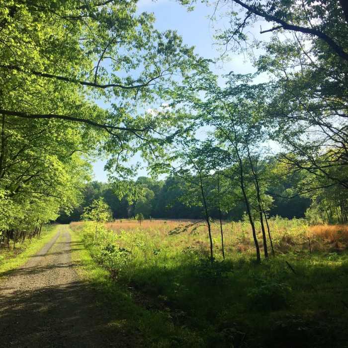
Fallow farmland creates beautiful scenery along the trail.
Near Mason Farm Main Trail
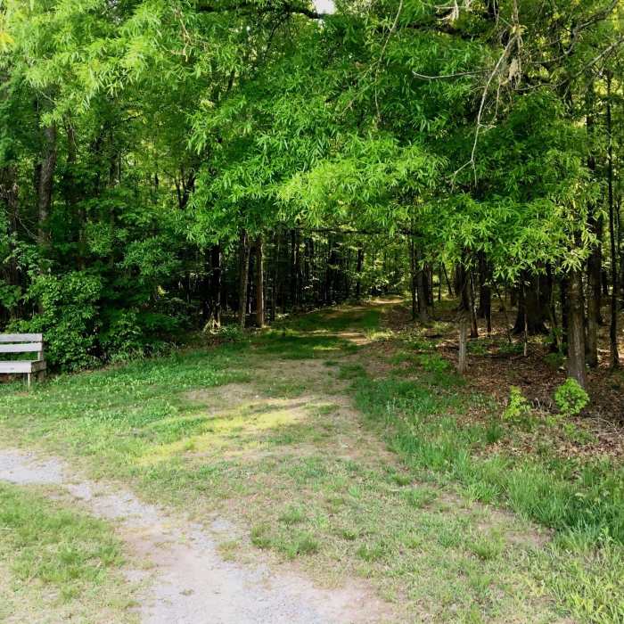
The beginning of the Shagbark Hickory Trail.
Near Mason Farm Main Trail
New stiltgrass along the Mason Farm - Main Trail.
Near Mason Farm Main Trail
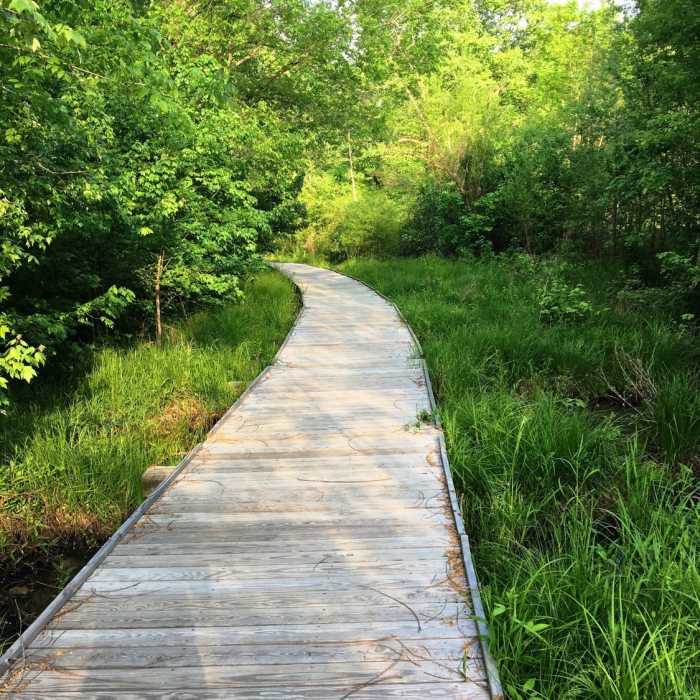
A boardwalk aids your passage through the swamp.
Near Mason Farm Main Trail
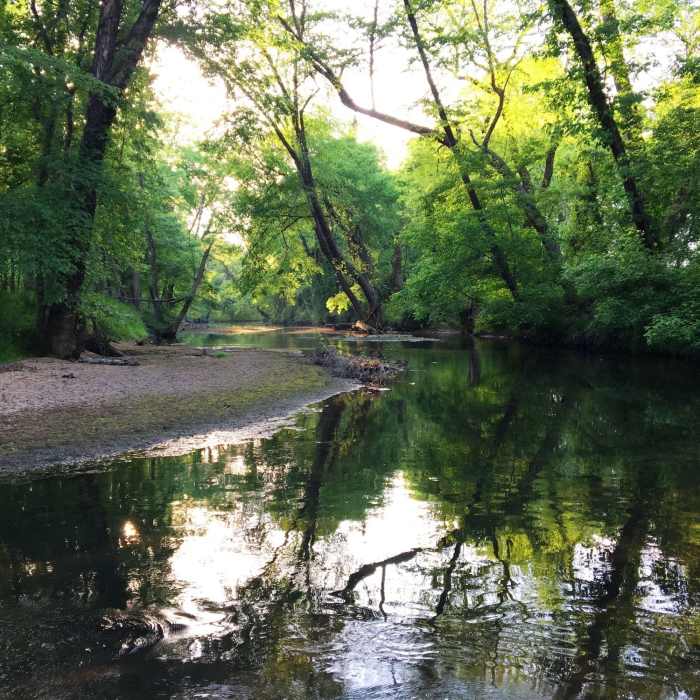
After a day enjoying the trails at Mason Farm Biological Reserve, head north from the parking area to enjoy a quiet lunch by Morgan Creek before hopping in the car.

Looking for more photos?

View All Photos
Driving Directions
Hike Trail

Mason Farm Main Trail

3.8 (4 Ratings)
A wide gravel trail through the flatlands of Mason Farm.
1.8
mi
Distance
ft
Gain
easy
Difficulty
BirdingFall ColorsFamily FriendlyRiver/CreekWildflowers
Access Issues
Access is by permit only. Permits are available at the North Carolina Botanical Garden Education Center at 100 Old Mason Farm Road Chapel Hill, NC 27517.

Route Details

Flatter
Steeper
1.78mi
Distance
0ft
Elevation Gain
3ft
Elevation Loss
5%
Max Grade
255ft
High Point
234ft
Low Point
Path Type
Point to Point
Description
Getting to Mason Farm is the biggest difficulty. You have to pass through the parking lot of Finley Golf Club and drive on a gravel road until you can cross the stream on a low overflow bridge. You'll have to drive through the stream to cross. After heavy rains, there may be too much water flowing over the bridge for a safe crossing. Use caution. From the parking lot, you jump on the obvious gravel road that leads into the park. Take a right at the intersection after which you cut through two separate fields.You pass the Shagbark Hickory Trail on your right and go through a lovely field and back into the forest. Shortly, you enter a swampy area with a long boardwalk. Eventually, you make it back to higher land and head north through the forest until you reenter the first big field you crossed when you arrived.

Route Conditions

Report Conditions
Anonymous Adventurer
All Clear
Anonymous Adventurer
Some Issues
Anonymous Adventurer
Some Issues
Looking for more condition reports?
View History

Nearby Hike Routes

Battle Branch / Bolin Creek Loop

Hike Route

Battle Branch / Bolin Creek Loop

Birding
moderate
3.53 mi
+206 ft
Korstian Foot Trail Loop

Hike Route

Korstian Foot Trail Loop

Birding
moderate
6.82 mi
+644 ft
Duke Korstian Loop

Hike Route

Duke Korstian Loop

Birding
moderate
4.01 mi
+403 ft
Copperhead Out-and-Back

Hike Route

Copperhead Out-and-Back

Fall Colors
moderate
4.09 mi
+195 ft
Johnston Mill Loop

Hike Route

Johnston Mill Loop

Fall Colors
moderate
2.94 mi
+194 ft
Al Buehler and Sally Meyerhoff Trails

Hike Route

Al Buehler and Sally Meyerhoff Trails

Birding
moderate
3.71 mi
+259 ft
Contributors
Russell Hobart
